- Pikeville, Tennessee
Infobox Settlement
official_name = Pikeville, Tennessee
settlement_type =City
nickname =
motto =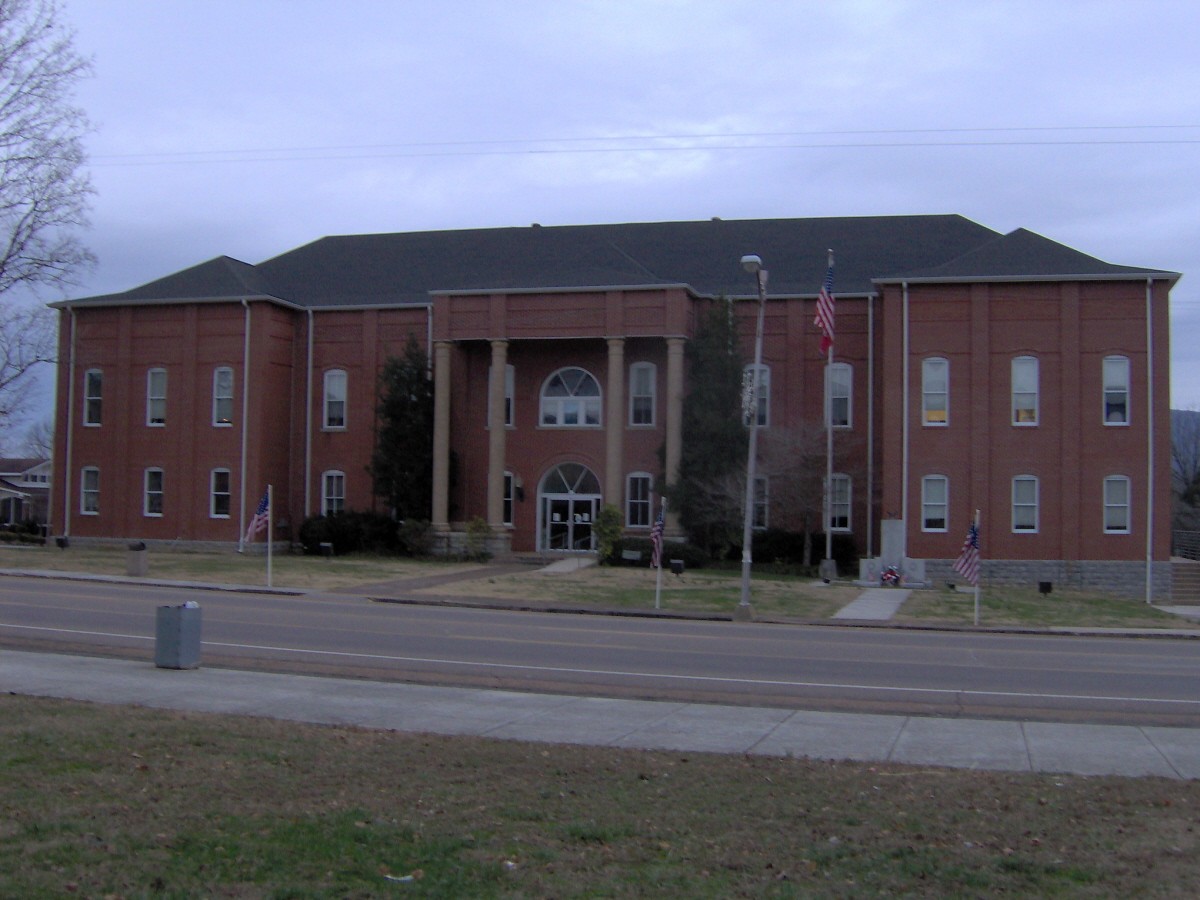
imagesize = 250px
image_caption = Bledsoe County Courthouse in Pikeville
image_
mapsize = 250px
map_caption = Location of Pikeville, Tennessee
mapsize1 =
map_caption1 =subdivision_type = Country
subdivision_name =United States
subdivision_type1 = State
subdivision_name1 =Tennessee
subdivision_type2 = County
subdivision_name2 = Bledsoegovernment_footnotes =
government_type =
leader_title =
leader_name =
leader_title1 =
leader_name1 =
established_title =
established_date =unit_pref = Imperial
area_footnotes =area_magnitude =
area_total_km2 = 6.3
area_land_km2 = 6.3
area_water_km2 = 0.0
area_total_sq_mi = 2.4
area_land_sq_mi = 2.4
area_water_sq_mi = 0.0population_as_of = 2000
population_footnotes =
population_total = 1781
population_density_km2 = 283.6
population_density_sq_mi = 734.5timezone = Central (CST)
utc_offset = -6
timezone_DST = CDT
utc_offset_DST = -5
elevation_footnotes =
elevation_m = 262
elevation_ft = 860
latd = 35 |latm = 36 |lats = 27 |latNS = N
longd = 85 |longm = 11 |longs = 29 |longEW = Wpostal_code_type =
ZIP code
postal_code = 37367
area_code = 423
blank_name = FIPS code
blank_info = 47-58120GR|2
blank1_name = GNIS feature ID
blank1_info = 1297464GR|3
website =
footnotes =Pikeville is a city in and the
county seat of Bledsoe County,Tennessee ,United States . The population was 1,781 at the 2000 census. It is thecounty seat of Bledsoe CountyGR|6.Geography
Pikeville is located at coor dms|35|36|27|N|85|11|29|W|city (35.607470, -85.191340).GR|1 The city is situated in the northern half of the
Sequatchie Valley , a deep fertile valley that presents as a large rupture in the southernCumberland Plateau . The walls of the plateau— namelyWalden Ridge and Little Mountain— rise prominently to the east and west respectively. TheSequatchie River passes through the eastern section of Pikeville.Pikeville is centered just east of the junction of
U.S. Route 127 , which connects the valley to Crossville to the north and Chattanooga to the south, and State Route 30, which connects Pikeville with Spencer to the west.Fall Creek Falls State Park is located atop the plateau to the west.According to the
United States Census Bureau , the city has a total area of 2.4square mile s (6.3km² ), all of it land.Demographics
As of the
census GR|2 of 2000, there were 1,785 people, 748 households, and 479 families residing in the city. Thepopulation density was 734.5 people per square mile (284.2/km²). There were 859 housing units at an average density of 354.3/sq mi (137.1/km²). The racial makeup of the city was 94.95% White, 3.09% African American, 0.28% Native American, 0.39% Asian, 0.28% from other races, and 1.01% from two or more races. Hispanic or Latino of any race were 0.84% of the population.There were 747 households out of which 29.5% had children under the age of 18 living with them, 46.1% were married couples living together, 14.7% had a female householder with no husband present, and 36.0% were non-families. 34.0% of all households were made up of individuals and 15.1% had someone living alone who was 65 years of age or older. The average household size was 2.30 and the average family size was 2.94.In the city the population was spread out with 26.3% under the age of 18, 7.0% from 18 to 24, 26.6% from 25 to 44, 22.7% from 45 to 64, and 17.4% who were 65 years of age or older. The median age was 38 years. For every 100 females there were 87.5 males. For every 100 females age 18 and over, there were 77.8 males.
The median income for a household in the city was $23,438, and the median income for a family was $30,365. Males had a median income of $27,500 versus $19,097 for females. The
per capita income for the city was $12,754. About 19.5% of families and 25.2% of the population were below thepoverty line , including 29.3% of those under age 18 and 22.3% of those age 65 or over.History
The Sequatchie Valley was part of
Cherokee lands until 1805, when the Cherokee ceded it to the U.S. as part of the Treaty of Tellico. The valley was probably named after an obscure Cherokee chief. By the late 1700s, the valley had been identified by long hunters, one of whom, Anthony Bledsoe, became the county's namesake. Bledsoe County was formed in 1807, with the small town of Madison as its county seat." [http://www.tngennet.org/bledsoe/history.htm Bledsoe County, Tennessee] ." TNGenWeb. Retrieved: 7 January 2008.]Pikeville was established in 1816 on lands donated by Charles Love, an early Sequatchie settler. The origin of the town's name is unknown, although some have suggested that it was named for explorer General Zebulon Pike (1779-1813). By 1818, the Bledsoe County seat had been moved from Madison to Pikeville. The town was incorporated in 1830.
Notable residents
*
Josiah M. Anderson , born near Pikeville,United States Congressman fromTennessee cite book | title = Who Was Who in America, Historical Volume, 1607-1896 | publisher = Marquis Who's Who | date = 1967]
*Blues recording artist Earl Thomas was born in Pikeville. [ [http://video.google.com/videoplay?docid=-6449103514935845283&pr=goog-sl] ] [http://www.myspace.com/earlthomas]References
External links
Wikimedia Foundation. 2010.