- Massachusetts Route 183
-
Route 183
Route information Length: 31.94 mi[1] (51.40 km) Major junctions North end: 
 U.S. Route 7/U.S. Route 20 in Lenox
 Route 7A in Lenox
 Route 102 in Stockbridge
U.S. Route 7 in Great Barrington
 Route 23 in Great Barrington
 Route 57 in Monterey
South end:  Connecticut Route 183 in Colebrook, Connecticut
Highway system Massachusetts State Highway Routes
←  Route 181
Route 186  →
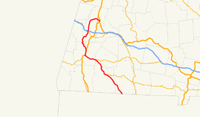
→Massachusetts Route 183 is a north–south state highway in Berkshire County, Massachusetts. The entire route travels from Lenox to Sandisfield at the Connecticut state border. The entire route is 32.0 miles (51.5 km) long (51.50 km), with several miles running in a silent concurrency with other routes (see below).
Route description
Route 183 is essentially divided in two parts. The upper section begins in Lenox at the junction of Walker Street and the Lenox Bypass, a freeway-grade bypass route carrying U.S. Route 7 and U.S. Route 20 around the town center. Route 183 passes through the town's center, and is combined with Route 7A for approximately 0.1 miles (0.16 km). From there, the road turns southward into Stockbridge, passing Tanglewood and the Stockbridge Bowl before passing under Interstate 90 (the Massachusetts Turnpike without any interchange, just one-third of a mile north of the road's intersection with Route 102 in the village of Larrywaug. The road continues south, passing the Norman Rockwell Museum and the Berkshire Botanical Garden, and paralleling the Housatonic River, crossing it once it enters Great Barrington and the village of Housatonic. The road continues along the east bank of the river before finally junctioning with U.S. Route 7 again.
Once the road meets Route 7, it carries a silent concurrency with it for 1.4 miles (2.3 km), before presumably turning east and joining Route 23 just north of the town center (some maps denote this route; some do not).[2][3] From there, Routes 183 and 23 head towards Monterey, a distance of 3.5 miles (5.63 km). After passing the Butternut Basin ski area, the road crosses the Appalachian Trail at the town line before splitting southeastward with the beginning of Route 57, which it shares a concurrency with for 6 miles (9.66 km), heading shortly into New Marlborough near Lake Buel. just east of that town's center, the road splits finally, with Route 183 heading southeast towards Sandisfield, passing the town's state forest and following the Sandy Brook, crossing it just north of the Connecticut state line at Colebrook, where the road becomes Connecticut Route 183.
-

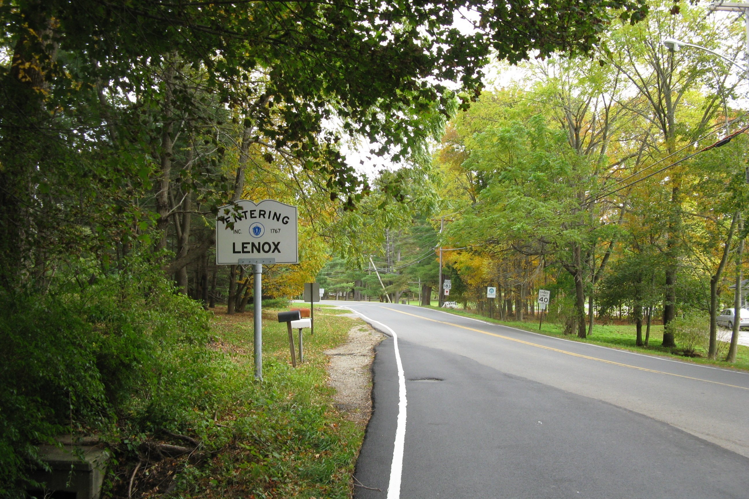
Eastbound, entering Lenox
References
- ^ Executive Office of Transportation, Office of Transportation Planning - 2007 Road Inventory
- ^ Massachusetts Atlas and Gazetteer, Second Edition. Yarmouth, Maine: DeLorme, 2002, p. 44.
- ^ Western Massachusetts Street Atlas. South, Easton, MA: Arrow Map, Inc., 1998, pp. 8, 43, 70, 83.
Categories:- Numbered routes in Massachusetts
- Massachusetts road stubs
-


Wikimedia Foundation. 2010.