- Manheim Township, Lancaster County, Pennsylvania
-
For other Pennsylvania townships with similar names, see Manheim Township, Pennsylvania.
Manheim Township,
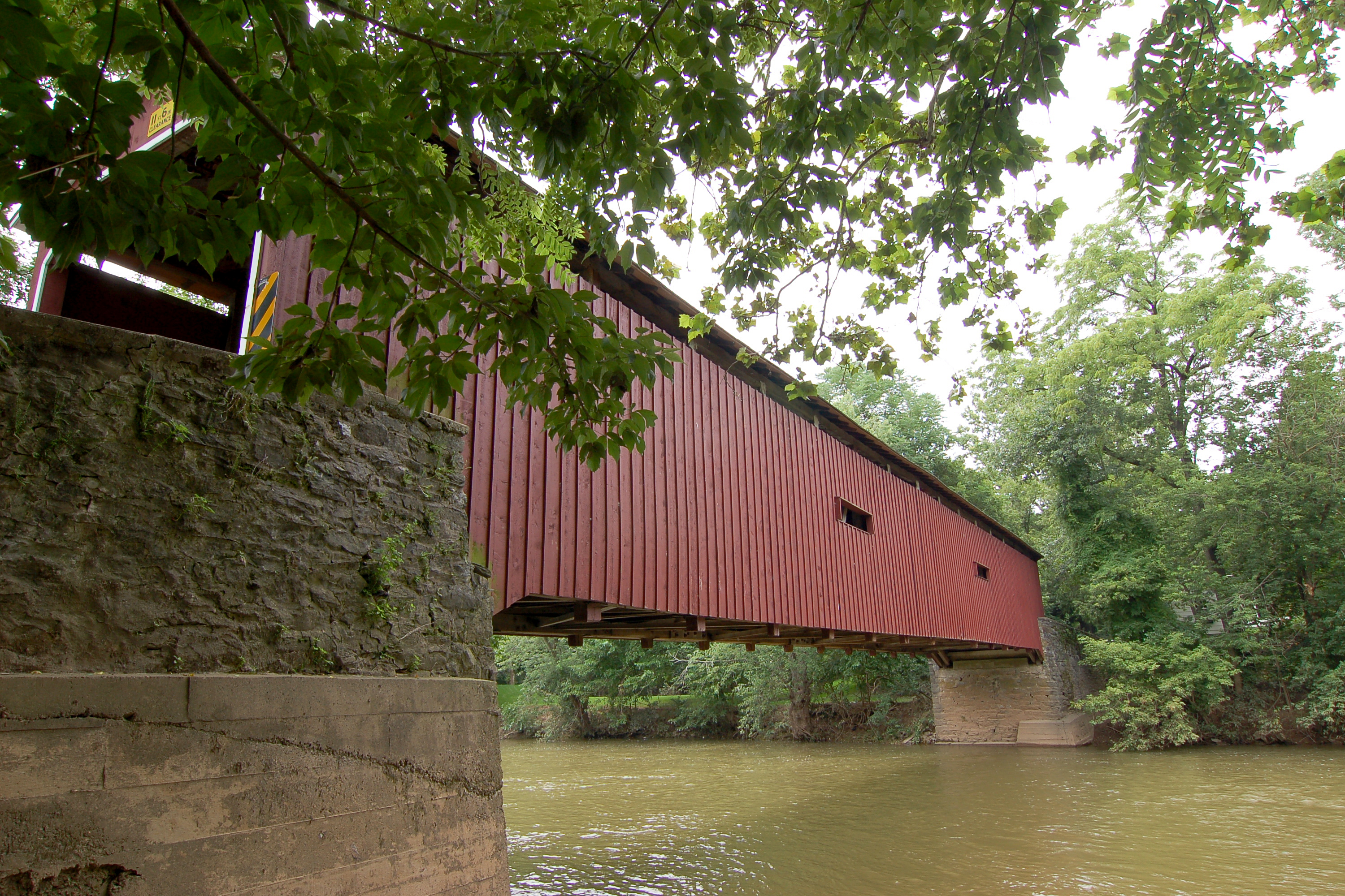
Lancaster County, Pennsylvania— Township — Pinetown Bushong's Mill Covered Bridge over the Conestoga River in Manheim Township. Map of Lancaster County highlighting Manheim Township
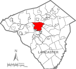
Country United States State Pennsylvania County Lancaster Settled 1729 Incorporated 1729 Government – Type Board of Commissioners – Commissioner Lawrence A. Downing – Commissioner Carol S. Simpson – Commissioner Richard A. Casselbury – Commissioner J. Michael Flanagan – Commissioner James M. Martin Area – Total 24.3 sq mi (62.9 km2) – Land 24.2 sq mi (62.7 km2) – Water 0.1 sq mi (0.3 km2) Population (2000) – Total 33,697 – Density 1,391.6/sq mi (537.3/km2) Time zone Eastern (EST) (UTC-5) – Summer (DST) EDT (UTC-4) Area code(s) 717 Website Manheim Township Manheim Township is a township in Lancaster County, Pennsylvania established in 1729, which southernmost border meets the city limits of Lancaster. The population as of the 2000 census was 33,697.
Contents
Government
Residents of Manheim Township elect a five member Board of Commissioners. Commissioners are elected to serve a four year term.[1]
Current Board of Commissioners:[2]
Commissioner Party Electoral History[3] Notes Lawrence A. Downing Republican Elected 11/04/2003, Reelected 11/06/2007 Not seeking reelection in 2011 Carol S. Simpson Republican Elected 11/04/2003, Reelected 11/06/2007 Defeated for renomination on 05/17/2011 Richard A. Casselbury Republican Elected 11/08/2005, Reelected 11/03/2009 J. Michael Flanagan Republican Elected 11/08/2005, Reelected 11/03/2009 James M. Martin Republican Elected 11/03/2009 Geography
According to the United States Census Bureau, the township has a total area of 24.3 square miles (62.9 km²), of which, 24.2 square miles (62.7 km²) of it is land and 0.1 square miles (0.2 km²) of it (0.33%) is water.
Manheim Township does not have its own zip code, therefore its residents share postal designations with neighboring municipalities. Residents living in the northernmost parts of the township have a Lititz address, residents living in the central and southern parts of the township have a Lancaster address and residents living in the easternmost parts of the township have a Leola address.[4]
The unincorporated community of Neffsville is located within Manheim Township.
Demographics
As of the census[5] of 2000, there were 33,697 people, 12,961 households, and 9,280 families residing in the township. The population density was 1,391.6 people per square mile (537.4/km²). There were 13,434 housing units at an average density of 554.8/sq mi (214.2/km²). The racial makeup of the township was 93.18% White, 1.46% African American, 0.11% Native American, 3.13% Asian, 0.01% Pacific Islander, 1.02% from other races, and 1.09% from two or more races. Hispanic or Latino of any race were 2.77% of the population.
There were 12,961 households out of which 31.0% had children under the age of 18 living with them, 63.1% were married couples living together, 6.4% had a female householder with no husband present, and 28.4% were non-families. 24.8% of all households were made up of individuals and 12.8% had someone living alone who was 65 years of age or older. The average household size was 2.47 and the average family size was 2.96.
In the township the population was spread out with 23.2% under the age of 18, 5.8% from 18 to 24, 24.9% from 25 to 44, 25.2% from 45 to 64, and 21.0% who were 65 years of age or older. The median age was 43 years. For every 100 females there were 88.3 males. For every 100 females age 18 and over, there were 83.7 males.
The median annual income for a household in the township was $55,807, and the median annual income for a family was $67,365. Males had a median annual income of $46,940 versus $29,618 for females. The per capita income for the township was $28,730. About 2.4% of families and 4.0% of the population were below the poverty line, including 3.7% of those under age 18 and 6.1% of those age 65 or over.
Education
Students enrolled in public schools attend Manheim Township School District. The district operates the following schools:[6]
- Manheim Township High School
- Manheim Township Virtual High School
- Manheim Township Middle School
- Neff Sixth Grade
- Brecht Elementary
- Bucher Elementary
- Neff Elementary
- Nitrauer Elementary
- Reidenbaugh Elementary
- Schaeffer Elementary
The Manheim Township Board of School Directors articulates the policy, budgetary direction and vision for the school district. It has nine members, elected to terms of four years each.[7]
Places of interest
See also
References
- ^ http://ice1.co.lancaster.pa.us/EmpICE/default.asp?Category=Elections
- ^ http://www.manheimtownship.org/about_us.htm
- ^ http://ice1.co.lancaster.pa.us/EmpICE/default.asp?Category=Elections
- ^ http://www.usps.com/
- ^ "American FactFinder". United States Census Bureau. http://factfinder.census.gov. Retrieved 2008-01-31.
- ^ http://www.mtwp.net/index.php?option=com_staticxt&staticfile=schools.php&Itemid=177
- ^ Manheim Township School District - School Board
External links
Coordinates: 40°07′36″N 76°16′59″W / 40.12667°N 76.28306°W
Categories:- Populated places established in 1729
- Townships in Lancaster County, Pennsylvania


Wikimedia Foundation. 2010.