- Nyora, Victoria
-
Nyora
Victoria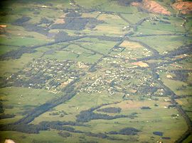
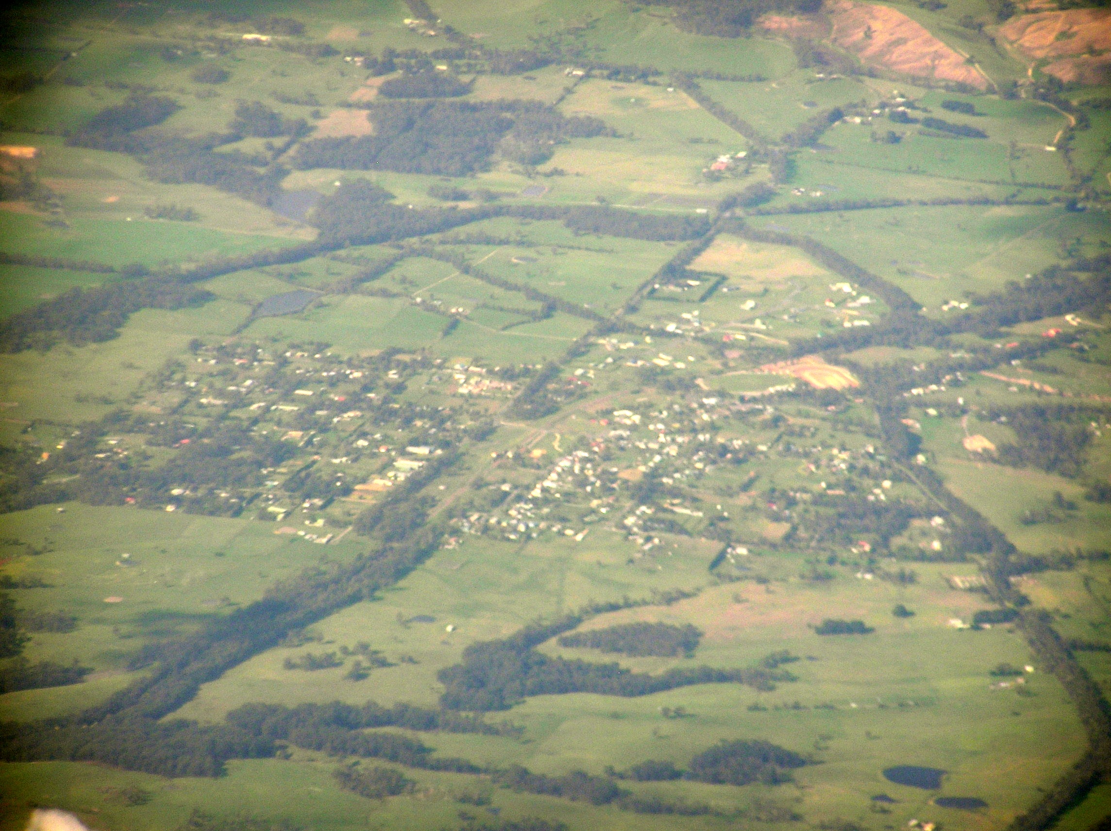
Aerial photo from south west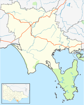
 Nyora
NyoraPopulation: 592 (2009)[1] Postcode: 3987[2] LGA: South Gippsland Shire State District: Bass Federal Division: McMillan Nyora is a town in south Gippsland, Australia. At the 2006 census, Nyora had a population of 545.[1]
The Post Office opened around September 1890 replacing an office at nearby Lang Lang East open since 1885.[3]
The town's railway station and general store were included in the popular ABC TV program Something in the Air. The township featured in the TV series was known as "Emu Springs".
Nyora is home to the former V/Line railway station of the same name, which served primarily as a freight and goods transfer facility as well as the branch station for the former Foster - Leongatha and Wonthaggi lines.
The railway station presently serves as part of the South Gippsland Railway — a community based heritage / tourist railway organisation, with its operations base at Korumburra.
Golfers play at the course of the Lang Lang Golf Club on the South Gippsland Highway, Nyora.[4]
Nyora is 12 km from Lang Lang, and 11 kilometres from the nearest beach.
Nyora is home to the Nyora Football club who are nicknamed the saints and wear red/white/black uniforms. The club was formed in 1877 and has won 11 senior premierships in this time, the first coming in 1911. The club has had a very successful period of late winning premierships in both 2006 and 2007 in the Ellinbank & District Football league. So successful was Nyora during this period the town was often referred to as "premiership city" and some town folks even erected a sign on the entry to the town to reflect this.References
- ^ a b Australian Bureau of Statistics (25 October 2007). "Nyora (L) (Urban Centre/Locality)". 2006 Census QuickStats. http://www.censusdata.abs.gov.au/ABSNavigation/prenav/LocationSearch?collection=Census&period=2006&areacode=UCL239700&producttype=QuickStats&breadcrumb=PL&action=401. Retrieved 8 June 2010.
- ^ White Pages Canberra 2008
- ^ Premier Postal History, Post Office List, https://www.premierpostal.com/cgi-bin/wsProd.sh/Viewpocdwrapper.p?SortBy=VIC&country=, retrieved 2008-04-11
- ^ Golf Select, Lang Lang, http://www.golfselect.com.au/armchair/courseView.aspx?course_id=1010, retrieved 2009-05-11
Coordinates: 38°19′58″S 145°40′11″E / 38.3329°S 145.6698°E
Towns in the South Gippsland Shire Agnes • Bena • Buffalo • Dumbalk • Fish Creek • Foster • Jumbunna • Kongwak • Koonwarra • Korumburra • Leongatha • Loch • Meeniyan • Mirboo North • Nyora • Poowong • Port Franklin • Port Welshpool • Sandy Point • Stony Creek • Tarwin Lower • Toora • Venus Bay • Walkerville • Waratah Bay • Welshpool • Yanakie •
Categories:- Towns in Victoria (Australia)
- Gippsland

Wikimedia Foundation. 2010.