- Midgarth
-
This article is about an island in Orkney, Scotland. For other uses, see List of islands called Linga.
Midgarth Location 
 Midgarth
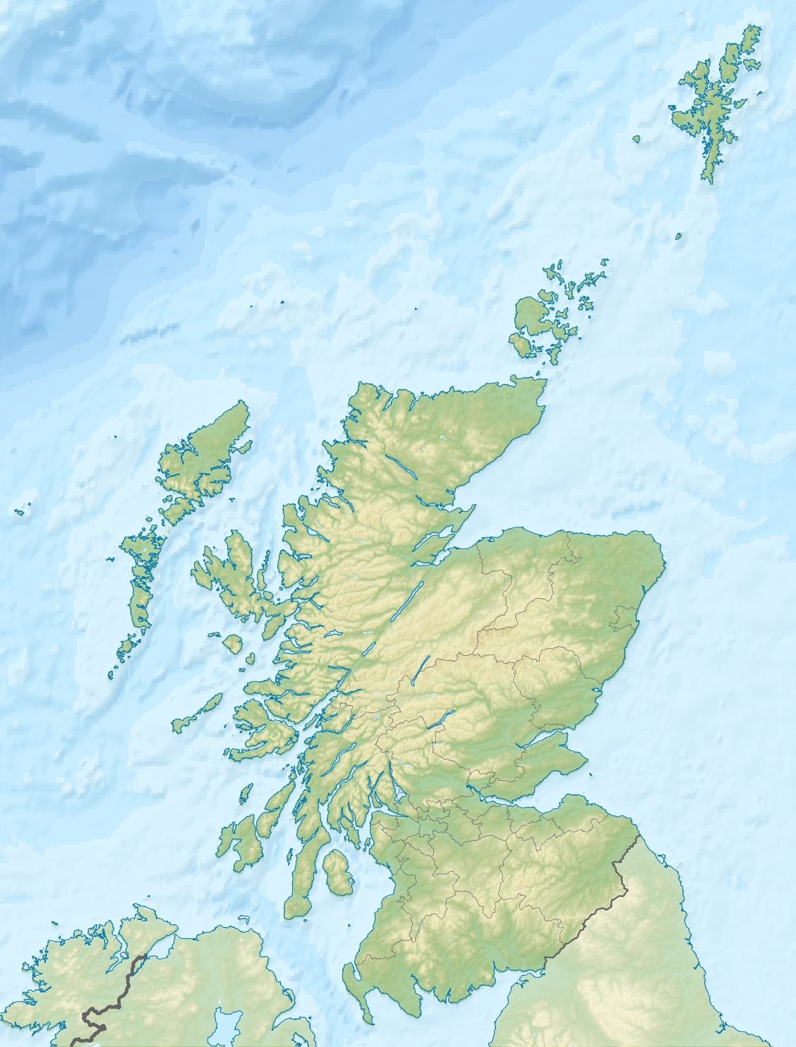
Midgarth shown within Scotland OS grid reference HY615275 Names Norse name Linga Holm from Lyngholm Area and summit Area 57 hectares (0.22 sq mi) Area rank 187 Highest elevation 10 metres (33 ft) Population Population 0 Groupings Island group Orkney Local Authority Orkney Islands 

References [1][2][3][4] If shown, area and population ranks are for all Scottish islands and all inhabited Scottish islands respectively. Population data is from 2001 census. Midgarth, also known as the Holm of Midgarth and Linga Holm is an uninhabited Scottish island extending to approximately 57 hectares (0.22 sq mi) situated 700 metres (770 yd) west of Stronsay island in the Orkney archipelago.[5] The name "Linga Holm" is derived from the Old Norse Lyngholm.
Contents
History
In common with many other Orkney islands, Midgarth contains numerous archaeological remains. These include pictish houses and ancient cairns.
Although it is currently uninhabited, a household of six was recorded in 1841.[2][6]
Wildlife
It is thought to be the third largest breeding ground for the Atlantic Grey Seal in the world, and is an important nesting site for Greylag geese.
See also
References
- ^ 2001 UK Census per List of islands of Scotland
- ^ a b Haswell-Smith, Hamish (2004). The Scottish Islands. Edinburgh: Canongate. ISBN 1841954543.
- ^ Ordnance Survey
- ^ Anderson, Joseph (Ed.) (1893) Orkneyinga Saga. Translated by Jón A. Hjaltalin & Gilbert Goudie. Edinburgh. James Thin and Mercat Press (1990 reprint). ISBN 0-901824-25-9
- ^ John Maurius Wilson, The Imperial Gazetteer of Scotland: Or, Dictionary of Scottish Topography, 1854
- ^ FreeCEN Orkney Website
External links
- Map sources for Midgarth
Coordinates: 59°07′57″N 2°40′28″W / 59.13256°N 2.67444°W
North East Orkney Islands Auskerry · Calf of Eday · Eday · Helliar Holm · Holm of Huip · Linga Holm · Muckle Green Holm · North Ronaldsay · Papa Stronsay · Sanday · Shapinsay · Stronsay · Thieves Holm
Orkney Inhabited Islands Mainland · Auskerry · Burray · Eday · Egilsay · Flotta · Gairsay · Graemsay · Hoy · North Ronaldsay · Papa Stronsay · Papa Westray · Rousay · Sanday · Shapinsay · South Ronaldsay · South Walls · Stronsay · Westray · WyreOther Islands Eynhallow · Helliar Holm · Lamb Holm · Switha · Swona · North West islands · North East islands · South West islands · South East islandsTowns and Villages Mainland Parishes Topics Categories:- Islands of the Orkney Islands
- Orkney geography stubs
Wikimedia Foundation. 2010.