- Hoy
Infobox Scottish island |
GridReference=ND263961
celtic name=-
norse name=Háey
meaning of name= Old Norse for 'high island'
area=14,308 ha
area rank=12
highest elevation= Ward Hill 479 m
Population=272
population rank=28
main settlement=Lyness
island group=Orkney
local authority=Orkney Islands
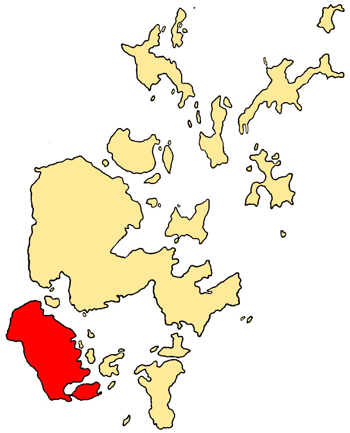
references= [2001 UK Census perList of islands of Scotland ] [Haswell-Smith, Hamish. (2004) "The Scottish Islands". Edinburgh. Canongate.] [ [http://www.orkneyjar.com/placenames/pl-isle.htm Orkney Placenames] ] [ [http://www.ordnancesurvey.co.uk/ Ordnance Survey] ] [Anderson, Joseph (Ed.) (1893) "Orkneyinga Saga". Translated by Jón A. Hjaltalin & Gilbert Goudie. Edinburgh. James Thin and Mercat Press (1990 reprint). ISBN 0-901824-25-9] Pedersen, Roy (January 1992) "Orkneyjar ok Katanes" (map, Inverness, Nevis Print)]Hoy (from Old Norse "Háey" meaning high island) is one of the
Orkney Islands inScotland . With an area of 55 square miles, it is the second largest of theOrkney Islands after the Mainland. It is connected by a causeway called The Ayre toSouth Walls , to the south. Unusually, the two islands are treated as one entity by the UK census. [General Register Office for Scotland (28 Nov 2003) " [http://www.gro-scotland.gov.uk/statistics/publications-and-data/occpapers/occasional-paper-10.html Occasional Paper No 10: Statistics for Inhabited Islands] ".]The dramatic coastline of Hoy is what usually greets visitors travelling to the Orkney Islands by ferry from the Scottish mainland. It has extremes of many kinds: some of the highest cliffs in the UK at St John's Head; the impressive and famous sea stack, the
Old Man of Hoy ; some of the most northerly surviving natural woodland in the British Isles; the remote possibility that Arctic Char survive in Heldale Water and the most northerly Martello Towers, which were built to defend the area during the Napoleonic War, but were never used in combat.The highest point in Orkney, Ward Hill, is found on Hoy.
The main naval base for
Scapa Flow in both the First and Second World Wars was situated atLyness in the south-east of the island. Some rather incongruous art deco structures nearby date from this period.An unusual rock-cut tomb, the
Dwarfie Stane , lies in a valley at the west of the island. It is unique in northernEurope , bearing similarity toNeolithic orBronze Age tombs around the Mediterranean.The northern part of the island is an
RSPB reserve due to its importance for birdlife, particularlyGreat skua s andred-throated diver s.In
Norse mythology , Hoy is the location of the never-ending battle betweenHedin and Högni .Orkney Ferries serve the island with two routes. One links Lyness on Hoy and Longhope on South Walls with the island ofFlotta andHouton on theOrkney Mainland . The other linksMoaness in northern Hoy to the island ofGraemsay andStromness on Orkney Mainland.References
External links
* [http://www.readingmountaineeringclub.org.uk/images/Hoy/image5.htm Old Man of Hoy picture gallery]
Wikimedia Foundation. 2010.