- Graemsay
Infobox Scottish island |
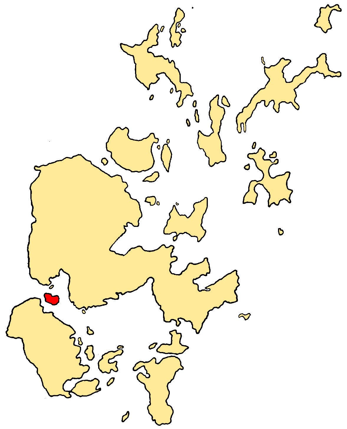
GridReference=HY255055
celtic name=
norse name=Grímsey
meaning of name=Grímr's Island
area= 409 ha
area rank= 76
highest elevation= West Hill 62 m
Population=21
population rank= 64
main settlement=
island group=Orkney Islands
local authority=Orkney
references= [2001 UK Census perList of islands of Scotland ] Haswell-Smith, Hamish. (2004) The Scottish Islands. Edinburgh. Canongate.] [ [http://www.ordnancesurvey.co.uk/ Ordnance Survey] ] [cite web| url=http://www.scottish.parliament.uk/vli/language/gaelic/pdfs/placenamesF-J.pdf| title=Placenames| author=Iain Mac an Tailleir| publisher=Pàrlamaid na h-Alba| accessdate=2007-07-22] [Anderson, Joseph (Ed.) (1893) "Orkneyinga Saga". Translated by Jón A. Hjaltalin & Gilbert Goudie. Edinburgh. James Thin and Mercat Press (1990 reprint). ISBN 0-901824-25-9] Pedersen, Roy (January 1992) "Orkneyjar ok Katanes" (map, Inverness, Nevis Print)]Graemsay is one of the
Orkney Islands inScotland . Graemsay lies in the western approaches toScapa Flow , betweenStromness (Mainland Orkney ) andHoy , separated from the Mainland byClestrain Sound . AnOrkney Ferries service links the island with Stromness andMoaness onHoy .Graemsay's main source of employment is
crofting . Parts of the island are largely undeveloped and are a haven for many wild plants.The area of Graemsay is about 1.6 square miles.
Wildlife
Birds include oystercatchers,
ringed plover s, redshank and curlew.History
As with many other Orkney Islands, there is a connection to the
Celtic Church , possibly a pre-Norse one. There are the remains of two early churches, dedicated to St Bride and to St Columba., who are both saints of Irish origin.The island has two
lighthouse s, Hoy High (NE) and Hoy Low (NW), both built in 1851 byAlan Stevenson [cite web| url=http://www.graemsay.org.uk/| title=Graemsay website| accessdate=2007-07-22] for the 19th centuryherring industry.At the Point of Oxna in the far north west, in Burra Sound, are block ships, which were scuttled deliberately during
World War II . This is a common feature of the straits/former straits aroundScapa Flow The school closed in 1996 and the island's children travel daily by boat to school in Stromness.
Geography and geology
The island's geology is old
red sandstone of theDevonian period, with two volcanic faults, and somegranite -schist on the north coast. The latter is a great rarity in Orkney.The island is surrounded by strong
tidal races which are known locally as "roosts".Footnotes
58° 55' 48.00", -3° 18' 0
Wikimedia Foundation. 2010.