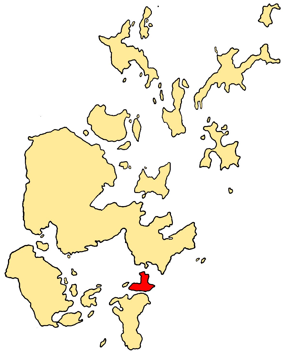
- Burray
Infobox Scottish island |

GridReference=ND460963
celtic name=
norse name=Borgarey
meaning of name=
area=903 ha
area rank= 54
highest elevation= 80 m
Population=357
population rank=24
main settlement=Burray Village
island group=Orkney
local authority=Orkney Islands
references= [2001 UK Census perList of islands of Scotland ] Haswell-Smith, Hamish. (2004) "The Scottish Islands". Edinburgh. Canongate.] [ [http://www.ordnancesurvey.co.uk/ Ordnance Survey] ] [Anderson, Joseph (Ed.) (1893) "Orkneyinga Saga". Translated by Jón A. Hjaltalin & Gilbert Goudie. Edinburgh. James Thin and Mercat Press (1990 reprint). ISBN 0-901824-25-9] Pedersen, Roy (January 1992) "Orkneyjar ok Katanes" (map, Inverness, Nevis Print)]Burray is one of the
Orkney Islands inScotland . It lies to the east ofScapa Flow and is one of the chain of islands which are linked by the causesways called theChurchill Barriers . In 2001, the population was 357.Attractions in Burray include a fossil museum.
The island has a reasonable amount of birdlife, with not just gulls (herring and lesser backed) breeding here, but
curlew .Haswell-Smith, Hamish. (2004) "The Scottish Islands". Edinburgh. Canongate.]Geography and geology
Burray is made up of old
red sandstone of theDevonian period.Haswell-Smith, Hamish. (2004) "The Scottish Islands". Edinburgh. Canongate.]The main settlement on Burray is
Burray Village , formerly afishing port , which is on its south west coast. There are also the settlements of Northtown, Southtown and Hillside on the island.Churchill Barriers 1, 2, and 3 link Burray with the
Mainland, Orkney via the islets ofGlimps Holm andLamb Holm and barrier 4 to the south is the link toSouth Ronaldsay . To its west is thetidal island ofHunda , also joined by a causeway. It is separated from the Mainland by Holm Sound to the north east, and from South Ronaldsay by Water Sound. To the west, acrossScapa Flow are the islands ofFlotta andCalf of Flotta , approximately 6km away.The island is indented in the north west by Echnaloch Bay, which takes its name from Echna
Loch , and Burray Ness, and Burray Haas, are two headlands in the east.History
ir James Stewart
During the early 18th century, the
laird of Burray was one Sir James Stewart. Stewart is said to have been involved with a murder inKirkwall in 1725, and went on the run for twenty years. A Jacobite sympathiser, he ended up fighting in theBattle of Culloden in 1746, and was one of the few survivors. However, when he returned to Burray after the battle, he happened to chance upon the son of the murder victim, who reported him to the authorities. Stewart was arrested, and ended up dying in a prison cell inLondon .Haswell-Smith, Hamish. (2004) "The Scottish Islands". Edinburgh. Canongate.]WWII and construction of Churchill Barriers
On
14 October 1939 , the Royal Navy battleship HMS "Royal Oak" was sunk at her moorings within the natural harbour ofScapa Flow , by the GermanU-boat "U-47" under the command ofGünther Prien . "U-47" had entered Scapa Flow throughHolm Sound , just to the north of Burray, and one of several eastern entrances to Scapa Flow.The eastern passages were protected by measures including sunken block ships, booms and anti-submarine nets, but "U-47" entered at night at high tide by navigating between the block ships. To prevent further attacks, the
First Lord of the Admiralty Winston Churchill ordered the construction of permanent barriers. Work began in May 1940 and the barriers were completed in September 1944, but were not officially opened until12 May 1945 , four days after the end ofWorld War II .The Churchill Barriers project required a substantial labour force, which peaked in 1943 at over 2,000.
Much of the labour was provided by over 1300 Italian prisoners of war, who had been captured in the desert war in North Africa, who were transported to Orkney from early 1942 onwards. As the use of POW labour for War Effort works is prohibited under the
Geneva Conventions , the works were justified as 'improvements to communications' to the southern Orkney IslandsThe prisoners were accommodated in three camps, 600 at Camp 60 on
Lamb Holm and the remaining 700 at two camps on Burray itself.References
ee also
*
List of Orkney islands
Wikimedia Foundation. 2010.
