- Duncansville, Pennsylvania
-
Duncansville Borough Country United States State Pennsylvania County Blair County Coordinates 40°25′30″N 78°25′57″W / 40.425°N 78.4325°W Area 0.5 sq mi (1 km2) Population 1,238 (2000) Density 2,312.5 / sq mi (893 / km2) Founded 1831 - Incorporated 1891 Government Mayor–council Mayor Edgar C. Magill, Jr. Timezone EST (UTC-4) - summer (DST) EDT (UTC-5) ZIP code 16635 Area code 814 Local phone exchange 693, 695, 696 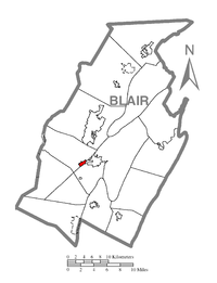 Location of Duncansville in Blair County
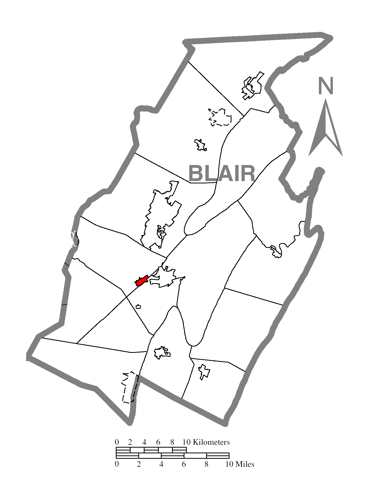
 Location of Duncansville in Pennsylvania
 Location of Pennsylvania in the United States
Duncansville is a borough in Blair County, Pennsylvania, United States. It is part of the Altoona, PA Metropolitan Statistical Area. Duncansville is one of the communities that comprises the Altoona Urban Area. The population was 1,238 at the 2000 census.
Contents
Geography
Duncansville is located at 40°25′30″N 78°25′57″W / 40.425°N 78.4325°W (40.425072, -78.432435)[1].
According to the United States Census Bureau, the borough has a total area of 0.5 square miles (1.3 km2), all of it land.
Demographics
As of the census[2] of 2000, there were 1,238 people, 580 households, and 338 families residing in the borough. The population density was 2,312.5 people per square mile (885.2/km²). There were 610 housing units at an average density of 1,139.4 per square mile (436.2/km²). The racial makeup of the borough was 98.47% White, 0.48% African American, 0.08% Asian, 0.08% from other races, and 0.89% from two or more races. Hispanic or Latino of any race were 0.48% of the population.
There were 580 households out of which 19.5% had children under the age of 18 living with them, 44.0% were married couples living together, 10.2% had a female householder with no husband present, and 41.7% were non-families. 38.3% of all households were made up of individuals and 21.7% had someone living alone who was 65 years of age or older. The average household size was 2.13 and the average family size was 2.84.
In the borough the population was spread out with 17.7% under the age of 18, 8.1% from 18 to 24, 26.3% from 25 to 44, 24.9% from 45 to 64, and 23.0% who were 65 years of age or older. The median age was 44 years. For every 100 females there were 77.1 males. For every 100 females age 18 and over, there were 75.4 males.
The median income for a household in the borough was $31,532, and the median income for a family was $40,655. Males had a median income of $27,298 versus $22,356 for females. The per capita income for the borough was $16,344. About 6.6% of families and 10.9% of the population were below the poverty line, including 9.6% of those under age 18 and 16.8% of those age 65 or over.
History
In 1830, Samuel Duncan, recognizing the excellent possibilities for land development, purchased land on the western banks of the stream, which traversed the area and plotted a town, which he named Duncansville. About the same time Jacob Walters laid out plots of land on the eastern side of the stream and called his settlement Walterstown. Confusion and some rivalry existed between the two settlements. Both Duncan and Walters agreed that a common name should be used for the two places. They decided to cast lots to select the name to be used. The people of both settlements declared a holiday and arranged quite a celebration for the occasion. All assembled at the wooden bridge separating the two towns. A coin was tossed and fortune favored Duncan, thereby uniting the two communities under the name of Duncansville. referencing http://duncansvillepa.org/about.html and also referencing the book A Toss of a Coin, The History of the Duncansville Area, 1769–2000
References
- ^ "US Gazetteer files: 2010, 2000, and 1990". United States Census Bureau. 2011-02-12. http://www.census.gov/geo/www/gazetteer/gazette.html. Retrieved 2011-04-23.
- ^ "American FactFinder". United States Census Bureau. http://factfinder.census.gov. Retrieved 2008-01-31.
Municipalities and communities of Blair County, Pennsylvania City 
Boroughs Bellwood | Duncansville | Hollidaysburg | Martinsburg | Newry | Roaring Spring | Tunnelhill‡ | Tyrone | Williamsburg
Townships CDPs Unincorporated
communityFootnotes ‡This populated place also has portions in an adjacent county or counties
Categories:- Populated places established in 1831
- Boroughs in Blair County, Pennsylvania


Wikimedia Foundation. 2010.