- Matfield Township, Chase County, Kansas
-
Matfield Township — Township — Location in Chase County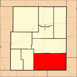
Coordinates: 38°08′40″N 096°29′36″W / 38.14444°N 96.49333°WCoordinates: 38°08′40″N 096°29′36″W / 38.14444°N 96.49333°W Country United States State Kansas County Chase Area – Total 122.42 sq mi (317.08 km2) – Land 122.07 sq mi (316.16 km2) – Water 0.35 sq mi (0.92 km2) 0.29% Elevation 1,424 ft (434 m) Population (2000) – Total 155 – Density 1.3/sq mi (0.5/km2) GNIS feature ID 0477823 Matfield Township is a township in Chase County, Kansas, USA. As of the 2000 census, its population was 155.
Geography
Matfield Township covers an area of 122.42 square miles (317.1 km2) and contains one incorporated settlement, Matfield Green. According to the USGS, it contains two cemeteries: High Prairie and Matfield Green.
The streams of Bull Creek, Camp Creek, Corn Creek, Crocker Creek, Jack Creek, Little Cedar Creek, Mercer Creek, Shaw Creek, Steak Bake Creek and Thurman Creek run through this township.
References
External links
Municipalities and communities of Chase County, Kansas Cities 
Townships Bazaar | Cedar | Cottonwood | Diamond Creek | Falls | Homestead | Matfield | Strong | Toledo
Unincorporated
communitiesGhost towns Elk | Ellinor | Neva | Thurman
Categories:- Townships in Chase County, Kansas
- Kansas geography stubs

Wikimedia Foundation. 2010.