- Ohioville, Pennsylvania
-
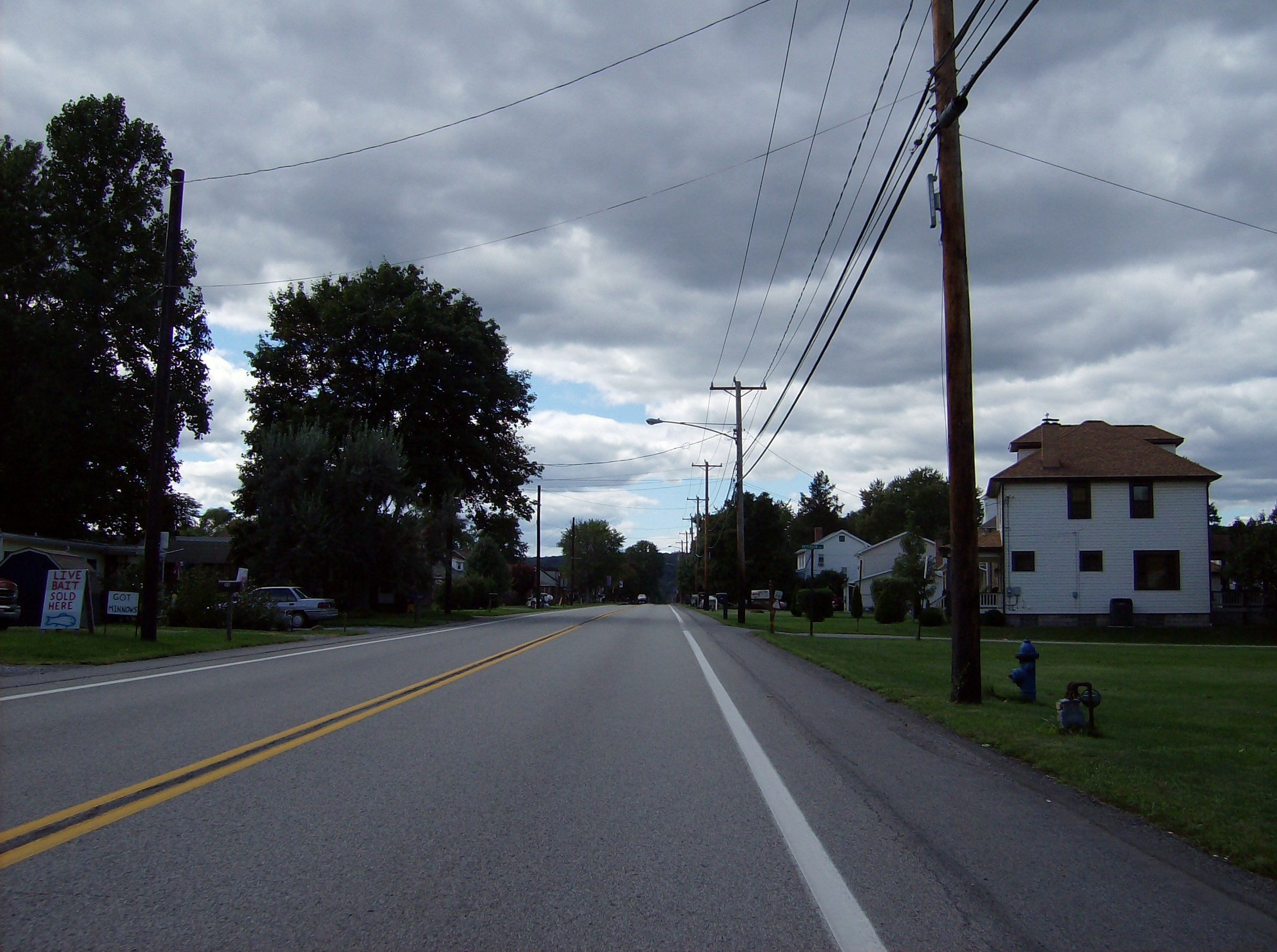
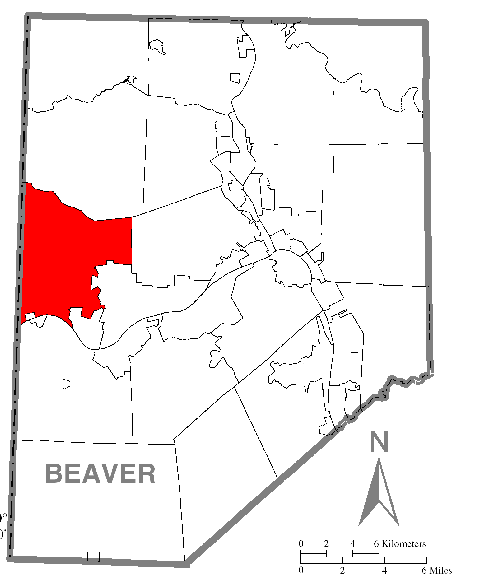
Ohioville, Pennsylvania — Borough — Along Pennsylvania Route 68 in eastern Ohioville Location in Beaver County
 Location in the state of Pennsylvania
Coordinates: 40°40′46″N 80°28′17″W / 40.67944°N 80.47139°WCoordinates: 40°40′46″N 80°28′17″W / 40.67944°N 80.47139°W Country United States State Pennsylvania County Beaver Settled 1790 Incorporated 1860 Government – Type Borough Council – Mayor Area – Total 23.7 sq mi (61.4 km2) – Land 23.4 sq mi (60.6 km2) – Water 0.3 sq mi (0.8 km2) Elevation 1,253 ft (382 m) Population (2000) – Total 3,759 – Density 160.9/sq mi (62.1/km2) Time zone Eastern (EST) (UTC-5) – Summer (DST) EDT (UTC-4) Zip code Area code(s) 724 Ohioville is a borough in Beaver County, Pennsylvania, United States. The population was 3,759 at the 2000 census.
Contents
Geography
Ohioville is located at 40°40′46″N 80°28′17″W / 40.67944°N 80.47139°W (40.679398, -80.471512)[1], in part along the Ohio River.
According to the United States Census Bureau, the borough has a total area of 23.7 square miles (61 km2), of which, 23.4 square miles (61 km2) of it is land and 0.3 square miles (0.78 km2) of it (1.43%) is water.
Demographics
As of the census[2] of 2000, there were 3,759 people, 1,371 households, and 1,095 families residing in the borough. The population density was 160.9 people per square mile (62.1/km²). There were 1,439 housing units at an average density of 61.6 per square mile (23.8/km²). The racial makeup of the borough was 97.15% White, 2.00% African American, 0.03% Native American, 0.08% Asian, 0.24% from other races, and 0.51% from two or more races. Hispanic or Latino of any race were 0.80% of the population.
There were 1,371 households out of which 34.2% had children under the age of 18 living with them, 66.8% were married couples living together, 9.0% had a female householder with no husband present, and 20.1% were non-families. 17.2% of all households were made up of individuals and 9.2% had someone living alone who was 65 years of age or older. The average household size was 2.70 and the average family size was 3.04.
In the borough the population was spread out with 25.0% under the age of 18, 6.7% from 18 to 24, 27.5% from 25 to 44, 26.3% from 45 to 64, and 14.5% who were 65 years of age or older. The median age was 40 years. For every 100 females there were 97.1 males. For every 100 females age 18 and over, there were 96.4 males.
The median income for a household in the borough was $39,962, and the median income for a family was $48,995. Males had a median income of $36,146 versus $22,324 for females. The per capita income for the borough was $17,837. About 2.9% of families and 5.5% of the population were below the poverty line, including 8.6% of those under age 18 and 3.0% of those age 65 or over.
History
Ohioville Township was formed in 1805 from parts of South Beaver Township. The region had, in years past, been home to numerous tribes of Native Americans, most notably the Archaic and Woodland Epoch, of Iroquionian extraction. Prior to William Penn's arrival in the region, the Iroquios tribe of the Five Nations used the region for hunting.[3]
Originally known as Ohio Township, the borough was once home to a ferry run by Maryland native Thomas Smith. This ferry transported passengers from the north side of the Ohio to the south, and back again. Near the ferry, a spring of "bituminous oil" arose that would play a crucial role in the township's development. At one time there were also several Indian pictographs. (These are currently underwater.) [4]
Early communities
Blackhawk village was a small community on the South Beaver Township line. Its first post office was established sometime after 1837. Even earlier, the New Salem United Presbyterian Church was established circa 1798, around the same time as Big Beaver's Mount Pleasant Church.[4]
In 1811, Four Mile United Presbyterian Church was founded. Located on Tuscarawas Road (whose name derives from the old Tuscarora hunting trail), the church was originally named Four Mile Square Church.
In 1816, Ohioville lost some of its territory to Brighton Township. With the establishment of Glasgow Borough (1854) and Industry Township (1856), and Midland (1906) even more land was lost.[4]
Finally, in 1960, Ohio Township was incorporated as Ohioville Borough.[4]
Local legends
It is no surprise, given the rich history of the region and the multitude of peoples who have lived in the South Beaver area, that many local stories and legends have been handed down over the years. One of the more notable stories is that of Kelly Road. The road connects Engle Road in Industry with Route 68 in Ohioville, near Midland. It is, according to legend, home to many supernatural phenomena.[5][unreliable source?]
See also
- List of cities and towns along the Ohio River
- List of haunted locations
References
- ^ "US Gazetteer files: 2010, 2000, and 1990". United States Census Bureau. 2011-02-12. http://www.census.gov/geo/www/gazetteer/gazette.html. Retrieved 2011-04-23.
- ^ "American FactFinder". United States Census Bureau. http://factfinder.census.gov. Retrieved 2008-01-31.
- ^ South Beaver History
- ^ a b c d Ohioville
- ^ Shadowlands Haunted Places Index - Pennsylvania
Municipalities and communities of Beaver County, Pennsylvania Cities 
Boroughs Ambridge | Baden | Beaver | Big Beaver | Bridgewater | Conway | Darlington | East Rochester | Eastvale | Economy | Ellwood City‡ | Fallston | Frankfort Springs | Freedom | Georgetown | Glasgow | Homewood | Hookstown | Industry | Koppel | Midland | Monaca | New Brighton | New Galilee | Ohioville | Patterson Heights | Rochester | Shippingport | South Heights | West Mayfield
Townships Brighton | Center | Chippewa | Darlington | Daugherty | Franklin | Greene | Hanover | Harmony | Hopewell | Independence | Marion | New Sewickley | North Sewickley | Patterson | Potter | Pulaski | Raccoon | Rochester | South Beaver | Vanport | White
Unincorporated
communitiesByersdale | Cannelton | Fombell | Frisco | Gringo | Harshaville | Kobuta
Footnotes ‡This populated place also has portions in an adjacent county or counties
Categories:- Pennsylvania populated places on the Ohio River
- Populated places established in 1790
- Pittsburgh metropolitan area
- Reportedly haunted locations in the United States
- Boroughs in Beaver County, Pennsylvania

Wikimedia Foundation. 2010.