- Cubal
-
Cubal — Municipality and town — Location in Angola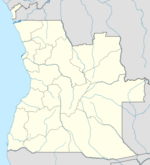
 Cubal
CubalCoordinates: 13°02′00″S 14°15′00″E / 13.0333333°S 14.25°E Country  Angola
Province Benguela Province Time zone WAT (UTC+1) Cubal is a town and municipality in Benguela Province in Angola.[1]
Contents
Transport
It has a station on the central line of Angolan Railways.
See also
References
- ^ "City councils of Angola". Statoids. http://www.statoids.com/yao.html. Retrieved April 7, 2009.
External links
 Municipalities of Angola
Bengo Province Benguela Province Bié Province Cabinda Province Cuando Cubango Province Cuanza Norte Province Ambaca · Banga · Bolongongo · Bula Atumba · Cazengo · Cambambe · Dembos · Golungo Alto · Gonguembo · Lucala · N'dalatando · Pango Aluquem · Quiculungo · Samba CajuCuanza Sul Province Amboim · Cassongue · Cela (Waku-Kungo) · Conda · Ebo · Libolo · Mussende · Porto Amboim · Quibala · Quilenda · Seles · SumbeCunene Province Huambo Province Huíla Province Luanda Province Lunda Norte Province Capemba-Camulemba · Caumbo · Caungula · Chitato-Dundo · Cuango · Cuilo · Dundo · Lubalo · Lucapa · Xa-MutebaLunda Sul Province Malanje Province Cacuzo · Calandula · Cambundi-Catembo · Caombo · Cuaba Nzogo · Cunda-dia-Baza · Luquembo · Malanje · Marimba · Massango · Mucari · Quela · Quirima CangandalaMoxico Province Namibe Province Uíge Province Zaire Province Categories:- Angola geography stubs
- Populated places in Angola
- Municipalities of Angola
- Benguela Province

Wikimedia Foundation. 2010.