- Clavières
-
Clavières


 Clavières
Administration Country France Region Auvergne Department Cantal Arrondissement Saint-Flour Canton Ruynes-en-Margeride Intercommunality Margeride-Truyère Mayor Albert Hugon
(2008–2014)Statistics Elevation 872–1,434 m (2,861–4,705 ft)
(avg. 1,060 m/3,480 ft)Land area1 44.66 km2 (17.24 sq mi) Population2 240 (2008) - Density 5 /km2 (13 /sq mi) INSEE/Postal code 15051/ 15320 1 French Land Register data, which excludes lakes, ponds, glaciers > 1 km² (0.386 sq mi or 247 acres) and river estuaries. 2 Population without double counting: residents of multiple communes (e.g., students and military personnel) only counted once. Coordinates: 44°59′12″N 3°16′39″E / 44.9866666667°N 3.2775°E
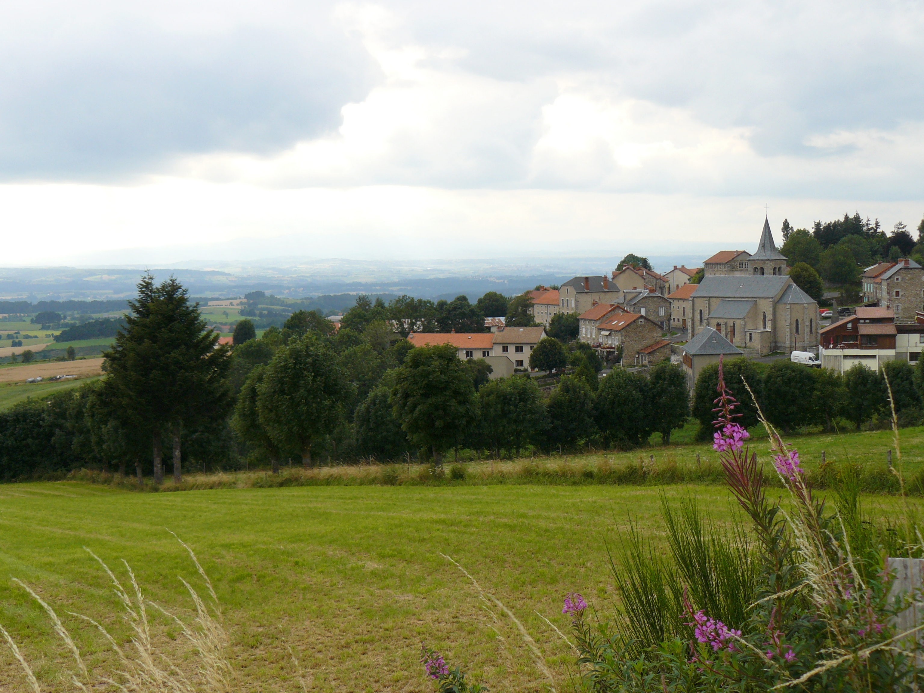
Clavières is a commune in the Cantal department in south-central France.
Population
Historical population of Clavières 1962 1968 1975 1982 1990 1999 2008 476 477 433 337 308 265 240 See also
References
Categories:- Communes of Cantal
- Cantal geography stubs

Wikimedia Foundation. 2010.