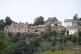
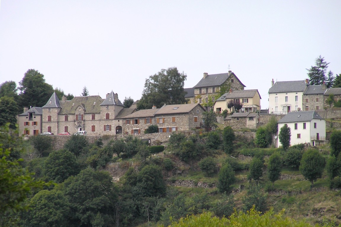
- Chaliers
-
Chaliers

 Chaliers
Administration Country France Region Auvergne Department Cantal Arrondissement Saint-Flour Canton Ruynes-en-Margeride Intercommunality Margeride-Truyère Mayor Bernadette Resche
(2008–2014)Statistics Elevation 728–1,002 m (2,388–3,287 ft)
(avg. 835 m/2,740 ft)Land area1 18.37 km2 (7.09 sq mi) Population2 188 (2008) - Density 10 /km2 (26 /sq mi) INSEE/Postal code 15034/ 15320 1 French Land Register data, which excludes lakes, ponds, glaciers > 1 km² (0.386 sq mi or 247 acres) and river estuaries. 2 Population without double counting: residents of multiple communes (e.g., students and military personnel) only counted once. Coordinates: 44°57′27″N 3°13′43″E / 44.9575°N 3.22861111111°E
Chaliers is a commune in the Cantal department in south-central France.
Population
Historical population of Chaliers 1962 1968 1975 1982 1990 1999 2008 268 236 218 214 227 196 188 See also
References
Categories:- Communes of Cantal
- Cantal geography stubs

Wikimedia Foundation. 2010.