- Englewood, Ohio
Infobox Settlement
official_name = Englewood, Ohio
settlement_type =City
nickname =
motto =
website = [http://www.englewood.oh.us/ www.englewood.oh.us]
imagesize = 250px
image_caption =
image_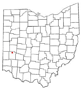
mapsize = 250px
map_caption = Location inOhio 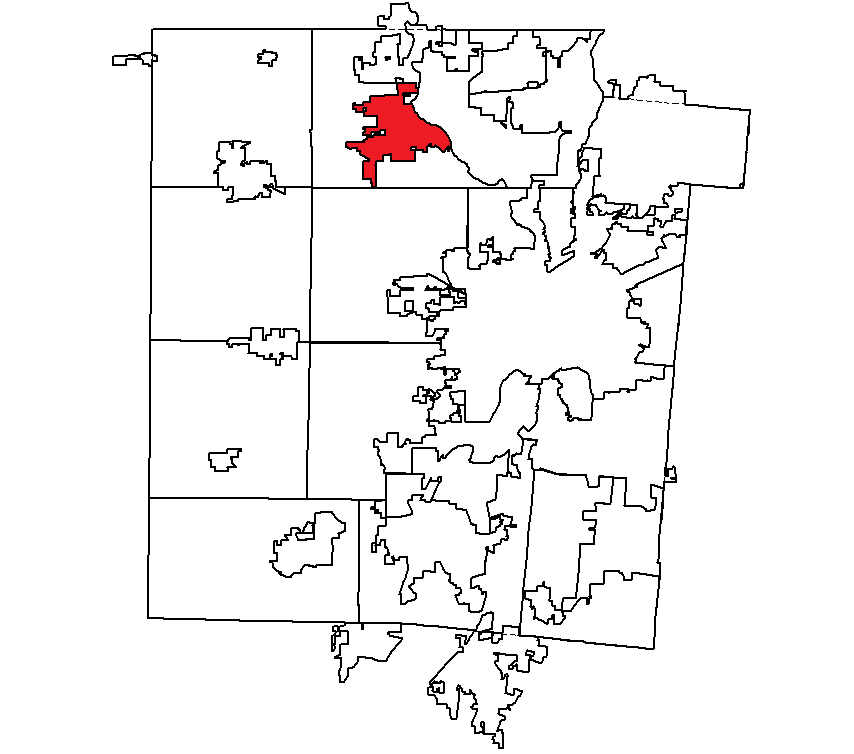
mapsize1 = 250px
map_caption1 = Location withinMontgomery County, Ohio
subdivision_type = Country
subdivision_type1 = State
subdivision_type2 = County
subdivision_name =United States
subdivision_name1 =Ohio
subdivision_name2 = Montgomery
government_type =
leader_title =Mayor
leader_name =
established_date =
area_magnitude = 1 E8
area_total_sq_mi = 6.6
area_total_km2 = 146.7
area_land_sq_mi = 19.8
area_land_km2 = 17.0
area_water_km2 = 0.1
population_as_of = 2000
population_total = 12,235
population_metro =
population_density_km2 = 720.1
timezone = EST
utc_offset = -5
timezone_DST = EDT
utc_offset_DST = -4
elevation_ft = 915
latd = 39 |latm = 54 |lats = 1 |latNS = N
longd = 84.3 |longm = 18 |longs = 49 |longEW = W
area_water_sq_mi = 0.0
elevation_ft = 915
postal_code_type =ZIP code s
postal_code = 45315, 45322
area_code = 937
blank_name = FIPS code
blank_info = 39-25396GR|2
blank1_name = GNIS feature ID
blank1_info = 1064624GR|3
footnotes =Englewood, a northern suburb of Dayton, is a city in Montgomery County,
Ohio ,United States . The population was 12,235 at the 2000 census. It is part of the Dayton Metropolitan Statistical Area.Geography
Englewood is located on Dayton's North Main Street (OH-48) (although Englewood uses its own street numbering system, rather than use a continuation of Dayton's) on the west bank of the Stillwater River. The east-west highways
U.S. Highway 40 andInterstate 70 also go through Englewood, with the interchange at OH-48 being a major exit on the expressway, with many motels and restaurants located there. The overpass at OH-48 has been revamped to resemble a gateway to welcome visitors. Other major arteries include Wenger Road, Union Boulevard, Taywood Road, and Old Salem Road. The city is mostly middle to upper-middle class.Recent Developments and Enhancements
Over the past few years, Englewood has seen a dramatic increase in new economic development. The Hoke Road interchange at
Interstate 70 and the Main Street corridor are just a few of the hot spots. The old Kroger grocery at Union Blvd. and Wenger Road was demolished and rebuilt brand new along with a new gas station and shopping plaza. The new government center on National Road was also completed. A Walmart was constructed on Hoke Road with two accompanying retail centers (one of which is called Hoke Plaza), a Bob Evans restaurant, and a Sonic drive-in. New traffic lights mounted on antique-styled mast arm poles are being placed at intersections all over the city. Plans are also underway for the North Clayton Village in nearbyClayton, Ohio .History
After the
Great Dayton Flood of 1913, theMiami Conservancy District constructed adry dam on the Stillwater River in Englewood. US-40 is routed over this dam, giving a scenic view of Englewood MetroPark upstream and Aullwood Audubon Center downstream. At one time, Englewood was called Harrisburg. This can clearly be noticed on a mural on the side of a shopping plaza in the downtown area.The coordinates for the city are coor dms|39|51|48|N|84|18|15|W|city (39.863355, -84.304044).GR|1
According to the
United States Census Bureau , the city has a total area of 6.6square mile s (17.1km² ), of which, 6.6 square miles (17.0 km²) of it is land and 0.04 square miles (0.1 km²) of it (0.61%) is water.Demographics
As of the
census GR|2 of 2000, there were 12,235 people, 5,062 households, and 3,442 families residing in the city. Thepopulation density was 1,865.1 people per square mile (720.1/km²). There were 5,310 housing units at an average density of 809.4/sq mi (312.5/km²). The racial makeup of the city was 92.51% White, 4.61% African American, 0.21% Native American, 1.30% Asian, 0.02% Pacific Islander, 0.38% from other races, and 0.98% from two or more races. Hispanic or Latino of any race were 0.87% of the population.There were 5,062 households out of which 31.0% had children under the age of 18 living with them, 55.0% were married couples living together, 9.6% had a female householder with no husband present, and 32.0% were non-families. 27.7% of all households were made up of individuals and 11.9% had someone living alone who was 65 years of age or older. The average household size was 2.38 and the average family size was 2.91.
In the city the population was spread out with 24.1% under the age of 18, 7.0% from 18 to 24, 27.6% from 25 to 44, 24.8% from 45 to 64, and 16.5% who were 65 years of age or older. The median age was 39 years. For every 100 females there were 89.3 males. For every 100 females age 18 and over, there were 86.0 males.
The median income for a household in the city was $46,920, and the median income for a family was $60,978. Males had a median income of $41,312 versus $31,647 for females. The
per capita income for the city was $22,792. About 2.3% of families and 5.1% of the population were below thepoverty line , including 5.9% of those under age 18 and 5.2% of those age 65 or over.Education
Englewood is served by the Northmont City School District of
Montgomery County, Ohio . The schools include:
*Northmont High School
*Northmont Middle School
*Englewood Elementary
*Englewood Hills Elementary
*Northmoor Elementary
*Northwood Elementary
*O. R. Edgington Elementary
*Phillipsburg Elementary
*Union ElementaryNorthmont City Schools also serves the communities of Clayton, Union, and Phillipsburg.
References
External links
* [http://www.englewood.oh.us/ City of Englewood]
* [http://www.northmont.k12.oh.us/ Northmont City Schools]
* [http://webster.daytonmetrolibrary.org/branch.cfm?ID=31 Dayton Metro Library, Northmont Branch]
* [http://www.metroparks.org/Parks/Englewood/Home.aspx Englewood Metro Park]
* [http://aullwood.center.audubon.org/ Aullwood Audubon Center]
* [http://www.photosamericana.com/englewoodproject/englewoodproject.htm Photos of Englewood]
Wikimedia Foundation. 2010.