- Chickasaw, Ohio
-
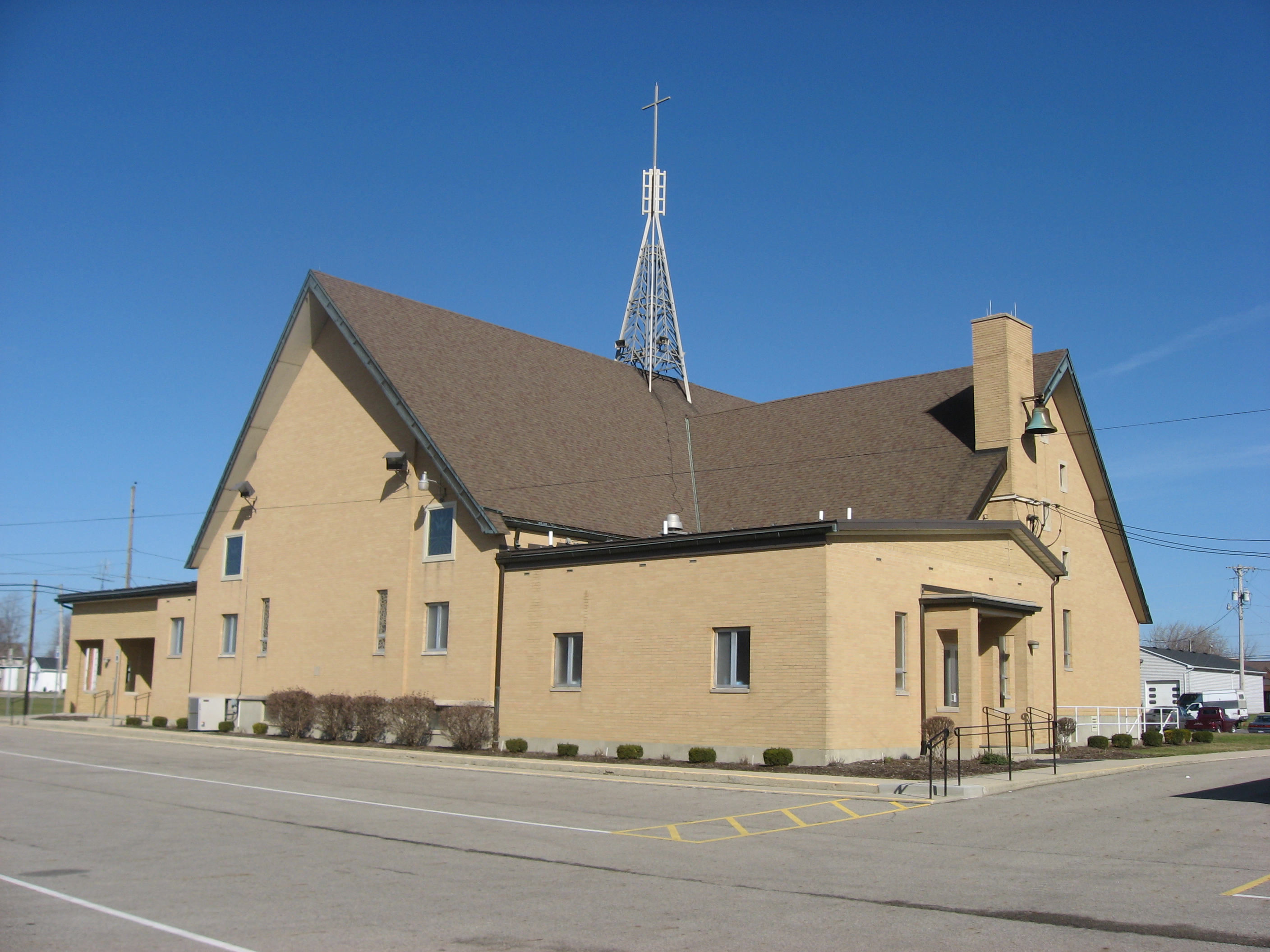
Chickasaw, Ohio — Village — Precious Blood Catholic Church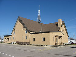 Location of Chickasaw, Ohio
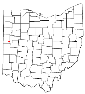
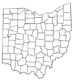
Coordinates: 40°26′10″N 84°29′35″W / 40.43611°N 84.49306°WCoordinates: 40°26′10″N 84°29′35″W / 40.43611°N 84.49306°W Country United States State Ohio County Mercer Area – Total 0.2 sq mi (0.6 km2) – Land 0.2 sq mi (0.6 km2) – Water 0.0 sq mi (0.0 km2) Elevation[1] 942 ft (287 m) Population (2000) – Total 364 – Density 1,592.3/sq mi (614.8/km2) Time zone Eastern (EST) (UTC-5) – Summer (DST) EDT (UTC-4) ZIP code 45826 Area code(s) 419 FIPS code 39-14156[2] GNIS feature ID 1039063[1] Chickasaw is a village in Mercer County, Ohio, United States. The population was 364 at the 2000 census.
Geography
Chickasaw is located at 40°26′10″N 84°29′35″W / 40.43611°N 84.49306°W (40.436065, -84.493047)[3].
According to the United States Census Bureau, the village has a total area of 0.2 square miles (0.52 km2), all of it land.
Demographics
As of the census[2] of 2000, there were 364 people, 136 households, and 96 families residing in the village. The population density was 1,592.3 people per square mile (611.0/km²). There were 139 housing units at an average density of 608.1 per square mile (233.3/km²). The racial makeup of the village was 99.73% White, and 0.27% from two or more races. Hispanic or Latino of any race were 1.92% of the population.
There were 136 households out of which 35.3% had children under the age of 18 living with them, 64.7% were married couples living together, 3.7% had a female householder with no husband present, and 29.4% were non-families. 27.2% of all households were made up of individuals and 12.5% had someone living alone who was 65 years of age or older. The average household size was 2.68 and the average family size was 3.33.
In the village the population was spread out with 30.8% under the age of 18, 6.3% from 18 to 24, 27.2% from 25 to 44, 21.2% from 45 to 64, and 14.6% who were 65 years of age or older. The median age was 36 years. For every 100 females there were 110.4 males. For every 100 females age 18 and over, there were 104.9 males.
The median income for a household in the village was $42,188, and the median income for a family was $62,250. Males had a median income of $40,234 versus $27,188 for females. The per capita income for the village was $18,148. About 7.1% of families and 5.0% of the population were below the poverty line, including 2.2% of those under age 18 and 8.5% of those age 65 or over.
References
- ^ a b "US Board on Geographic Names". United States Geological Survey. 2007-10-25. http://geonames.usgs.gov. Retrieved 2008-01-31.
- ^ a b "American FactFinder". United States Census Bureau. http://factfinder.census.gov. Retrieved 2008-01-31.
- ^ "US Gazetteer files: 2010, 2000, and 1990". United States Census Bureau. 2011-02-12. http://www.census.gov/geo/www/gazetteer/gazette.html. Retrieved 2011-04-23.
Municipalities and communities of Mercer County, Ohio City 
Villages Burkettsville‡ | Chickasaw | Coldwater | Ft. Recovery | Mendon | Montezuma | Rockford | St. Henry
Townships Unincorporated
communitiesCarthagena | Cassella | Maria Stein | Padua | Sebastian
Footnotes ‡This populated place also has portions in an adjacent county or counties
Categories:- Villages in Ohio
- Populated places in Mercer County, Ohio

Wikimedia Foundation. 2010.