- Proctorville, Ohio
Infobox Settlement
official_name = Proctorville, Ohio
settlement_type = Village
nickname =
motto =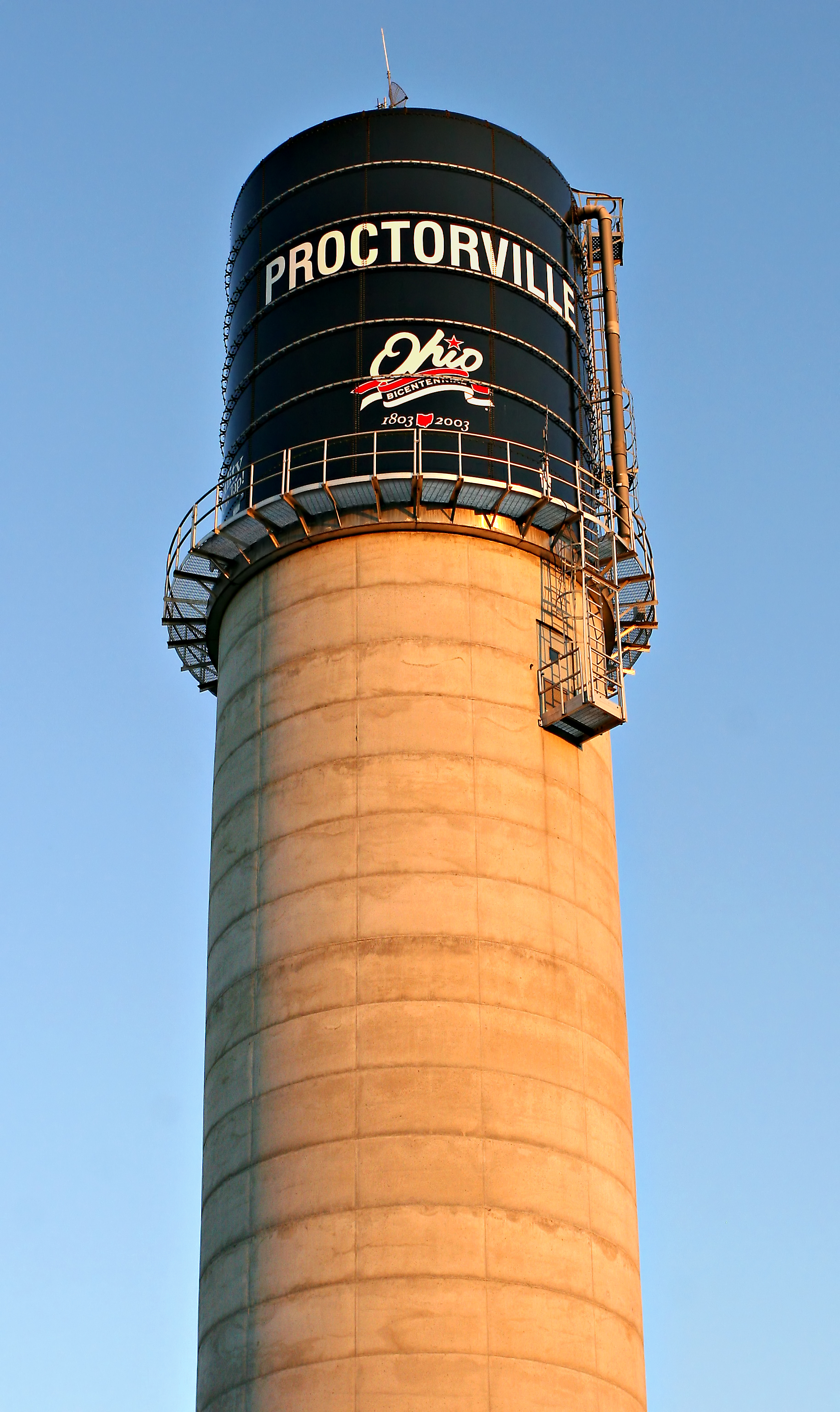
imagesize = 250px
image_caption = Proctorville's municipal water tower, built in 2003
image_
mapsize = 250px
map_caption = Location of Proctorville, Ohio
mapsize1 =
map_caption1 =subdivision_type = Country
subdivision_name =United States
subdivision_type1 = State
subdivision_name1 =Ohio
subdivision_type2 = County
subdivision_name2 = Lawrencegovernment_footnotes =
government_type =
leader_title =
leader_name =
leader_title1 =
leader_name1 =
established_title =
established_date =unit_pref = Imperial
area_footnotes =
area_magnitude =
area_total_km2 = 0.7
area_land_km2 = 0.6
area_water_km2 = 0.1
area_total_sq_mi = 0.3
area_land_sq_mi = 0.2
area_water_sq_mi = 0.0population_as_of = 2000
population_footnotes =
population_total = 620
population_density_km2 = 995.2
population_density_sq_mi = 2577.5timezone = Eastern (EST)
utc_offset = -5
timezone_DST = EDT
utc_offset_DST = -4
elevation_footnotes = GR|3
elevation_m = 169
elevation_ft = 554
latd = 38 |latm = 26 |lats = 17 |latNS = N
longd = 82 |longm = 22 |longs = 55 |longEW = Wpostal_code_type =
ZIP code
postal_code = 45669
area_code = 740
blank_name = FIPS code
blank_info = 39-64766GR|2
blank1_name = GNIS feature ID
blank1_info = 1061574GR|3
website =
footnotes =Proctorville is a village in Lawrence County,
Ohio ,United States , along theOhio River . The population was 620 at the 2000 census. The East End Bridge connects Proctorville toHuntington, West Virginia across the Ohio River.Proctorville is a part of the Huntington-Ashland, WV-KY-OH,
Metropolitan Statistical Area (MSA). As of the 2000 census, the MSA had a population of 288,649.History
The land where Proctorville is now situated was originally settled in 1797 and called Quaker Bottom. Situated on the Ohio River, Quaker Bottom grew throughout the 1800s as a trading center. In 1834, Jacob Proctor established a general store next to the wharf, and river boat captains knew the town as "Proctor's Landing".cite book | last = Lawrence County Historical Book Committee | title = History of Lawrence County, Ohio 1990 | publisher = Don Mills, Inc. | date = 1990 ] When the town was incorporated in 1878, the name was changed to Proctorville in Jacob's honor.cite book | last = Lawrene County Historical Book Committee | title = History of Lawrence County, Ohio - Vol. 2 | publisher = County Heritage, Inc. | date = 2004 ]
The Rome Beauty apple was developed by Joel Gillette and his son Alanson in Rome Township, near Proctorville, in 1816.
The town was decimated by a fire on April 7, 1900, and most of the destroyed businesses were never rebuilt. Major flooding in 1913 and 1937 further damaged the town.
The town and surrounding area has experienced growth since the completion of the East End Bridge connecting Proctorville to Huntington, West Virginia in 1985.
Geography
Proctorville is located at coor dms|38|26|17|N|82|22|55|W|city (38.437980, -82.381853)GR|1.
According to the
United States Census Bureau , the village has a total area of 0.3 square miles (0.7 km²), of which, 0.2 square miles (0.6 km²) of it is land and 0.04 square miles (0.1 km²) of it (11.11%) is water.Along the river, it lies below Athalia and above Chesapeake.
Demographics
As of the
census GR|2 of 2000, there were 620 people, 277 households, and 168 families residing in the village.. Thepopulation density was 2,577.5 people per square mile (997.4/km²). There were 318 housing units at an average density of 1,322.0/sq mi (511.6/km²). The racial makeup of the village was 98.06% White, 0.97% African American, 0.16% Native American, 0.16% from other races, and 0.65% from two or more races. Hispanic or Latino of any race were 0.32% of the population.There were 277 households out of which 24.2% had children under the age of 18 living with them, 42.2% were married couples living together, 13.4% had a female householder with no husband present, and 39.0% were non-families. 34.7% of all households were made up of individuals and 15.9% had someone living alone who was 65 years of age or older. The average household size was 2.24 and the average family size was 2.91.
In the village the population was spread out with 22.6% under the age of 18, 10.5% from 18 to 24, 25.0% from 25 to 44, 24.0% from 45 to 64, and 17.9% who were 65 years of age or older. The median age was 39 years. For every 100 females there were 87.9 males. For every 100 females age 18 and over, there were 88.2 males.
The median income for a household in the village was $22,266, and the median income for a family was $23,984. Males had a median income of $25,625 versus $18,438 for females. The
per capita income for the village was $13,027. About 16.8% of families and 18.6% of the population were below thepoverty line , including 20.0% of those under age 18 and 11.1% of those age 65 or over.Government
The town elects a mayor, a fiscal officer and six council members: [ cite web|url=http://www.lawcoboe.com/Municipal_Officials.htm#Proctorville |title=Municipal Officials |accessdate=2007-09-10 |work=Lawrence County Board of Elections ]
Council meetings are held on the second Monday of every month at 7:00 PM in Village Hall, located at 301 State Street. Village Hall is open from 9:00 AM to 5:00 PM, Monday through Friday, closed 12:00 to 1:00 PM for lunch. The phone number for Village Hall is 740-886-6366. The Proctorville Police Department and Water Department are also located in Village Hall.
Education
In 1949, Proctorville High School merged with that of Rome Township to form the
Fairland Local School District . The name "Fairland" was chosen because the school stands next to the site of the Lawrence County Fairgrounds.The district consists of two grade schools, Fairland East (K-2) and Fairland West (3-5), plus Fairland Middle School (6-8) and Fairland High School (9-12).As of the 2006-2007 school year, the district had 1809 enrolled students and was rated Effective by the [http://www.ode.state.oh.us/GD/Templates/Pages/ODE/ODEDefaultPage.aspx?page=1 Ohio Department of Education] . [ cite web|url=http://www.ode.state.oh.us/reportcardfiles/2006-2007/DIST/047936.PDF |title=Fairland Local School District 2006-2007 Report Card |accessdate=2007-09-11 |format=PDF |work=Ohio Department of Education ]
The Ohio University Southern Campus opened a new convert|17000|sqft|m2|abbr=on. branch near Proctorville in 2006.Stanley, Kirsten. " [http://www.irontontribune.com/articles/2007/01/05/news/news008.txt Campus welcomes first students] " Ironton Tribune,
January 4 ,2007 .]References
ee also
*
List of cities and towns along the Ohio River
*List of villages in Ohio External links
Wikimedia Foundation. 2010.