- Orschwiller
-
Orschwiller
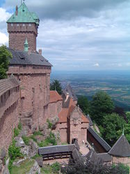
Château du Haut-Kœnigsbourg 
 OrschwillerLocation within Alsace region
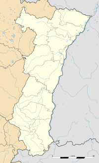 Orschwiller
Administration Country France Region Alsace Department Bas-Rhin Arrondissement Sélestat-Erstein Canton Sélestat Intercommunality Sélestat Mayor Claude Risch
(2001–2008)Statistics Elevation 172–714 m (564–2,343 ft) Land area1 6.32 km2 (2.44 sq mi) Population2 578 (2006) - Density 91 /km2 (240 /sq mi) INSEE/Postal code 67362/ 67600 1 French Land Register data, which excludes lakes, ponds, glaciers > 1 km² (0.386 sq mi or 247 acres) and river estuaries. 2 Population without double counting: residents of multiple communes (e.g., students and military personnel) only counted once. Coordinates: 48°14′32″N 7°22′59″E / 48.242222°N 7.383055°E
Orschwiller is a commune in the Bas-Rhin department in Alsace in north-eastern France.
The Château du Haut-Kœnigsbourg is located in the commune.
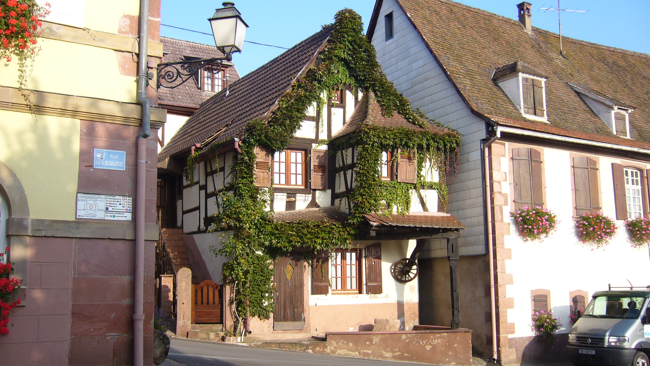
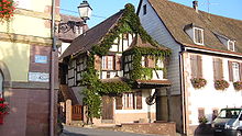 Half-timbered house in Orschwiller
See also
References
Categories:- Communes of Bas-Rhin
- Bas-Rhin geography stubs


Wikimedia Foundation. 2010.