- Marckolsheim
-
Marckolsheim

Barge in the lock beside the power station 
 MarckolsheimLocation within Alsace region
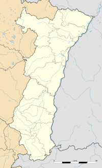 Marckolsheim
Administration Country France Region Alsace Department Bas-Rhin Arrondissement Sélestat-Erstein Canton Marckolsheim Intercommunality Marckolsheim et environs Mayor Frédéric Pfliegersdoerffer
(2008–2014)Statistics Elevation 170–184 m (560–604 ft) Land area1 33.36 km2 (12.88 sq mi) Population2 4,186 (2006) - Density 125 /km2 (320 /sq mi) INSEE/Postal code 67281/ 67390 1 French Land Register data, which excludes lakes, ponds, glaciers > 1 km² (0.386 sq mi or 247 acres) and river estuaries. 2 Population without double counting: residents of multiple communes (e.g., students and military personnel) only counted once. Coordinates: 48°09′53″N 7°32′41″E / 48.164722°N 7.544722°E
Marckolsheim is a commune in the Bas-Rhin department in Alsace in north-eastern France.
On the eastern edge of the town the Casemate de Marckolsheim Sud, a Maginot Line fortification left over from the Second World War, has been converted into a small museum. Approximately 3 kilometres to the east the Rhine has been dammed and a hydro-electric power station installed.
See also
References
Categories:- Communes of Bas-Rhin
- Bas-Rhin geography stubs


Wikimedia Foundation. 2010.