- Magpie River (Ontario)
-
Magpie River River 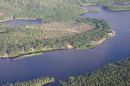
Country Canada Province Ontario Region Northeastern Ontario District Algoma District Tributaries - left Michipicoten River Source Upper Magpie Lake - elevation 420 m (1,378 ft) - coordinates 48°38′05″N 84°37′18″W / 48.63472°N 84.62167°W Mouth Lake Superior - elevation 180 m (591 ft) - coordinates 47°56′02″N 84°50′59″W / 47.93389°N 84.84972°W Basin 1,900 km2 (734 sq mi) 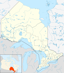
 Location of the mouth of the Magpie River in Ontario
The Magpie River is a river in Algoma District, northeastern Ontario, Canada that empties into Michipicoten Bay on Lake Superior near the town of Wawa. The river drains an area of about 1,900 square kilometres (734 sq mi).
Contents
Course
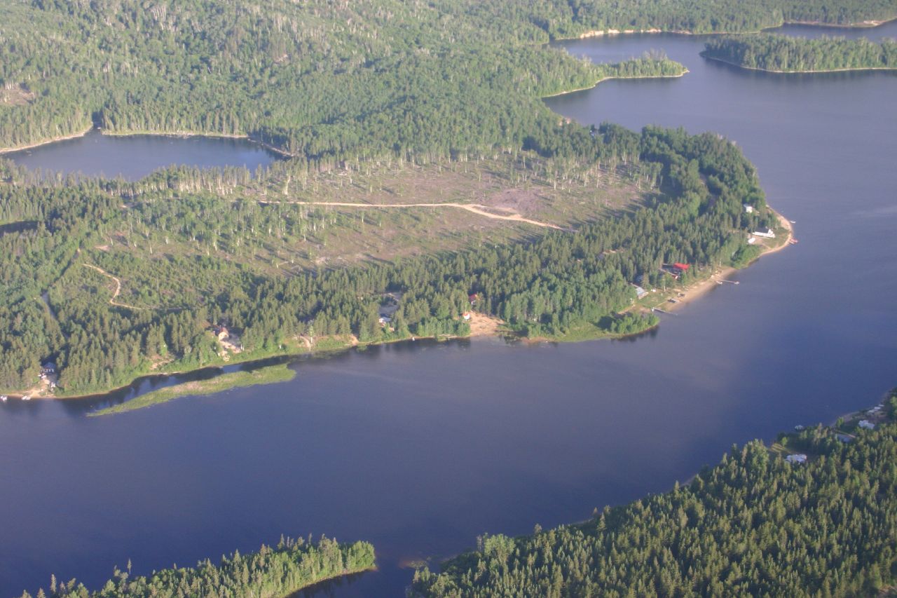
The river begins at Upper Magpie Lake at an elevation of 420 metres (1,378 ft) and flows north then northeast through a series of lakes including Wejinabikun Lake and North Wejinabikun Lake, to a point at 48°43′24″N 84°33′30″W / 48.72333°N 84.55833°W at an elevation of 357 metres (1,171 ft), before turning southeast to enter Mosambik Lake at an elevation of 347 metres (1,138 ft). The river exits at the north end of the lake and heads further north, and reaches a point as far north as 48°43′38″N 84°29′38″W / 48.72722°N 84.49389°W at an elevation of 348 metres (1,142 ft), before heading east southeast into the northeast corner of Esnagi Lake. From the north end of Esnagi Lake, the Five Mile Portage leads north, over Five Mile Creek, to Five Mile Bay on Kabinakagami Lake on the Kabinakagami River, part of the Albany River system, which leads north to James Bay. An alternate route to James Bay is to take the further Pine Portage from Kabinakagami Lake then up the Oba River to the Albany Forks, from which the Mattawitchewan River flows downstream as part of the Missinaibi and Moose rivers into the bay.
At Esnagi Lake, the river takes in the right tributary Tripoli Creek. The Magpie river then leaves Esnagi Lake at the south end at Swanson, where the Canadian Pacific Railway transcontinental mainline crosses. It continues south, passes over the Jean Falls, and takes in the left tributary Peckerwood Creek at an elevation of 339 metres (1,112 ft). The river takes in the left tributary Hobon Creek just upstream of the community of Dubreuilville. There, it takes in the left tributary Herman Creek, is crossed by Highway 519, and takes a sharp turn west. The Soderston Creek enters from the right, and the river passes over the Toolong Rapids, where it once again heads south. The Evans Creek enters from the right, and the Magpie River passes over the Cedar Falls, then further downstream the Steephill Falls. The river takes in the right tributary Catfish Creek, and reaches Wawa, where it is crossed by the Algoma Central Railway branch line to Michipicoten Harbour and Highway 17. The river then passes over the Magpie Falls, and takes in the Michipicoten River just before its mouth at Michipicoten Bay on Lake Superior at the site of Michipicoten Provincial Park.
Economy
There are also several hydroelectric plants on the river; the largest is located at Steephill Falls.
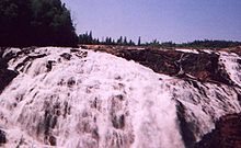 Scenic High Falls on the Magpie River
Tributaries
- Michipicoten River (left)
- Catfish Creek (right)
- Evans Creek (right)
- Soderston Creek (right)
- Herman Creek (left)
- Hobon Creek (left)
- Peckerwood Creek (left)
- Tripoli Creek (right)
References
- "Magpie River". Geographical Names Data Base. Natural Resources Canada. http://geonames.nrcan.gc.ca/search/unique_e.php?id=FCDBK&output=xml. Retrieved 2011-07-06.
- "Toporama - Topographic Map Sheets 41N15, 42C2, 42C7, 42C10". Atlas of Canada. Natural Resources Canada. http://atlas.nrcan.gc.ca/site/english/maps/topo/map. Retrieved 2010-02-09.
Ryerson Creek
Categories:- Rivers of Ontario
- Geography of Algoma District, Ontario
- Tributaries of Lake Superior
- Northern Ontario geography stubs


Wikimedia Foundation. 2010.