- Milton, North Carolina
-
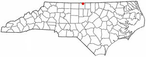
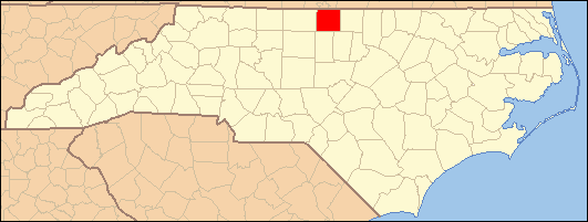
Milton, North Carolina — Town — Location of Milton, North Carolina
Coordinates: 36°32′12″N 79°12′29″W / 36.53667°N 79.20806°WCoordinates: 36°32′12″N 79°12′29″W / 36.53667°N 79.20806°W Country United States State North Carolina County Caswell Area - Total 0.4 sq mi (1.0 km2) - Land 0.4 sq mi (1.0 km2) - Water 0.0 sq mi (0.0 km2) Elevation 482 ft (147 m) Population (2000) - Total 132 - Density 346.8/sq mi (133.9/km2) Time zone Eastern (EST) (UTC-5) - Summer (DST) EDT (UTC-4) ZIP code 27305 Area code(s) 336 FIPS code 37-43300[1] GNIS feature ID 0990036[2] Milton is a town in Caswell County, North Carolina, United States. The population was 132 at the 2000 census. It is adjacent to the Virginia International Raceway, which is just across the NC/VA state line.
Contents
Geography
Milton is located at 36°32′12″N 79°12′29″W / 36.53667°N 79.20806°W (36.536679, -79.208166)[3].
According to the United States Census Bureau, the town has a total area of 0.4 square miles (1.0 km2), all of it land.
Demographics
As of the census[1] of 2000, there were 132 people, 65 households, and 41 families residing in the town. The population density was 346.8 people per square mile (134.1/km²). There were 86 housing units at an average density of 226.0 per square mile (87.4/km²). The racial makeup of the town was 58.33% White, 40.91% African American, and 0.76% from two or more races. Hispanic or Latino of any race were 0.76% of the population.
There were 65 households out of which 10.8% had children under the age of 18 living with them, 43.1% were married couples living together, 15.4% had a female householder with no husband present, and 36.9% were non-families. 33.8% of all households were made up of individuals and 20.0% had someone living alone who was 65 years of age or older. The average household size was 2.03 and the average family size was 2.51.
In the town the population was spread out with 12.1% under the age of 18, 5.3% from 18 to 24, 21.2% from 25 to 44, 26.5% from 45 to 64, and 34.8% who were 65 years of age or older. The median age was 52 years. For every 100 females there were 63.0 males. For every 100 females age 18 and over, there were 61.1 males.
The median income for a household in the town was $37,917, and the median income for a family was $41,750. Males had a median income of $35,000 versus $20,625 for females. The per capita income for the town was $20,343. There were 11.8% of families and 19.9% of the population living below the poverty line, including 43.5% of under eighteens and 17.0% of those over 64.
History
The Woodside House, located off Highway 57. General Stephen Dodson Ramseur was a distinguished Civil War hero and the nephew of Caleb Hazard and Mary Dodson Richmond. He stayed with them while recuperating from injuries received in the Battle of Malvern Hill. While there he fell in love with their daughter, Ellen, and they were married in the parlor. Ramseur was killed almost a year later at the Battle of Cedar Creek. Three days after his death, their only daughter was born at Woodside. An historic marker stands at the front of the yard to honor Ramseur. Inside the house is the book about him titled Lee's Gallant General. The parlor where the marriage took place is appropriately named the Ramseur Parlor, and the portraits of General and Mrs. Ramseur are highlighted in two recessed alcoves in remembrance of their tragic love story.
The Woodside house of Milton is not to be confused with Woodside (also known as James Pinckney Henderson House) in Lincolnton, North Carolina.
Milton is the northernmost point of the Colonial Heritage Byway. Founded in 1796, Milton is also notable for being the home of Thomas Day. Day was a free black man in the days of slavery. A renowned cabinetmaker, Day had a workshop and residence in the historic Union Tavern building that is in the process of being restored through an ongoing restoration campaign. Fire damaged the building in 1988.
References
- ^ a b "American FactFinder". United States Census Bureau. http://factfinder.census.gov. Retrieved 2008-01-31.
- ^ "US Board on Geographic Names". United States Geological Survey. 2007-10-25. http://geonames.usgs.gov. Retrieved 2008-01-31.
- ^ "US Gazetteer files: 2010, 2000, and 1990". United States Census Bureau. 2011-02-12. http://www.census.gov/geo/www/gazetteer/gazette.html. Retrieved 2011-04-23.
External links
- Caswell County Historical Association
- Caswell County Family Tree
- Caswell County Historical Association Web Log
- Caswell County North Carolina GenWeb
- Caswell County Discussion Forum
- Thomas Day biographical sketch
Municipalities and communities of Caswell County, North Carolina Towns Milton | Yanceyville

Unincorporated
communitiesBlanch | Camp Springs | Casville | Cherry Grove | Fitch | Hightowers | Jericho | Leasburg | Milesville | Pelham | Prospect Hill | Providence | Purley | Semora
Categories:- Populated places in Caswell County, North Carolina
- Towns in North Carolina
Wikimedia Foundation. 2010.