Common End — may refer to: Common End, Cumbria Common End, Derbyshire This disambiguation page lists articles about distinct geographical locations with the same name. If an internal link led you here, you may wish to ch … Wikipedia
Derbyshire Dales National Nature Reserve — The Derbyshire Dales National Nature Reserve is a series of unconnected limestone dales in the Peak District National Park. It is managed by Natural England and has a permanent staff of wardens who carry out conservation works and ensure the… … Wikipedia
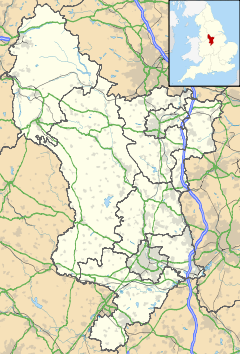
List of civil parishes in Derbyshire — poly 70 249 70 233 88 235 90 222 97 222 109 225 109 234 113 239 125 246 127 250 135 253 142 250 143 244 147 240 156 242 165 249 151 259 144 274 137 274 134 284 125 290 121 289 113 292 111 298 111 306 104 311 92 312 87 305 81 299 98 283 86 288 101 … Wikipedia
Duffield, Derbyshire — For other uses, see Duffield (disambiguation) . Coordinates: 52°59′21″N 1°29′20″W / 52.9891°N 1.4889°W / 52.9891; 1.4889 … Wikipedia
List of bus routes in Derbyshire — A map of the area these services operate in. This is a list of bus routes in Derbyshire. The major bus operators in the Derbyshire area are Arriva Midlands and Trent Barton. Other operators in Derbyshire are Bowers, Hulleys of Baslow, Notts Derby … Wikipedia
Oakwood, Derbyshire — infobox UK place country = England latitude= 52.933 longitude= 1.416 map type= Derbyshire official name= Oakwood population = 13,450 shire county = Derbyshire region= East Midlandsconstituency westminster= Mid Derbyshire post town= DERBY postcode … Wikipedia
Moss Valley, Derbyshire — Moss Valley is a valley in North East Derbyshire, just south of Sheffield, England. Nearby settlements include Eckington, Mosborough, and Ridgeway. The area used to be known for sickle and scythe production. [ [http://www.moss net.co.uk Moss Net] … Wikipedia
Civil parishes in Cumbria — A map of Cumbria, showing the districts: (1) Barrow in Furness; (2) South Lakeland; (3) Copeland; (4) Allerdale; (5) Eden; and (6) Carlisle. A civil parish is a subnational entity, forming the lowest unit of local government in England. There are … Wikipedia
2000s energy crisis — This article is about the causes and analysis of the relatively high oil prices of the 2000s. For discussion of the effects of the crisis, see Effects of the 2000s energy crisis. For a chronology of oil prices during this time, see 2003 to 2011… … Wikipedia
United Kingdom — a kingdom in NW Europe, consisting of Great Britain and Northern Ireland: formerly comprising Great Britain and Ireland 1801 1922. 58,610,182; 94,242 sq. mi. (244,100 sq. km). Cap.: London. Abbr.: U.K. Official name, United Kingdom of Great… … Universalium

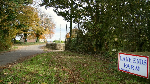
 Common End