- Ceahlău Massif
-
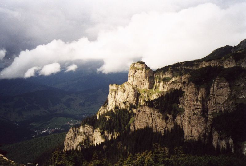
Ceahlău Massif 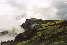
Ocolaşul Mare PeakElevation 1,907 m (6,257 ft) Location Location Neamţ County, Romania Range Eastern Carpathians Coordinates 46°57′18″N 25°56′45″E / 46.955°N 25.9457°ECoordinates: 46°57′18″N 25°56′45″E / 46.955°N 25.9457°E Topo map NTS 031H/11 Geology Type Intrusive Age of rock Cretaceous  3D - Ceahlău
The Ceahlău Massif (pronounced [t͡ʃe̞ahˈləw] (
 listen)) is one of the most notorious mountains of Romania[1]. It is part of the Bistriţa Mountains range of the Eastern Carpathians division, in Neamţ County, in the Moldavia region. The two most important peaks are Toaca (1904 m altitude) and Ocolaşul Mare (1907 m altitude). It is bounded to the east by the Bistriţa River and Lake Bicaz, to the south by the Bicaz River. From the south, the main access point is the village of Izvorul Muntelui, located 12 km north from the town of Bicaz. To the north, Mount Ceahlău is also accessible from Durău.
There are many legends about the Ceahlău Massif and speculations regarding its possible reverence for the ancient Dacians; as a consequence it is often called "The Romanian Olympus."
Contents
Activities
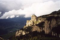 Ceahlău - "Piatra Lată din Ghedeon" rock formation
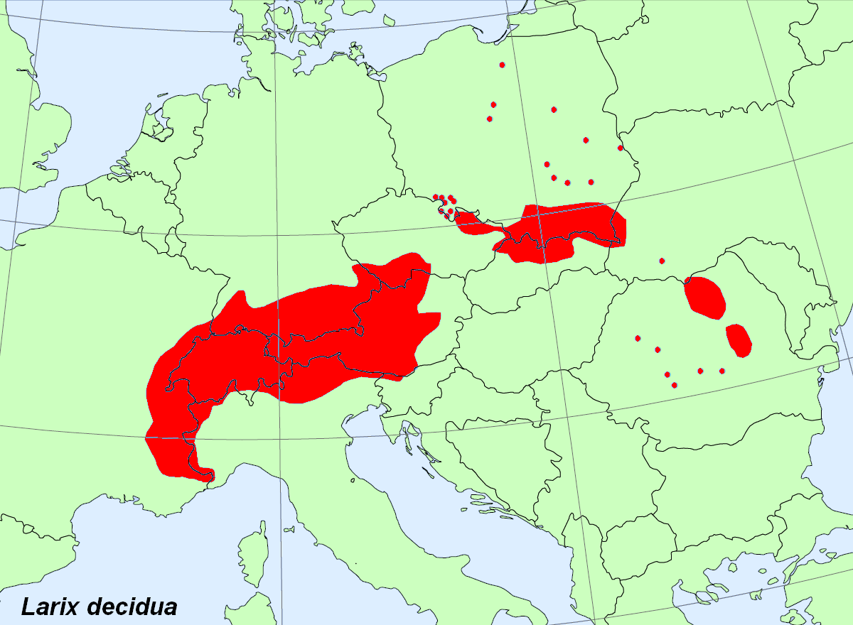
 Larix decidua, present in Eastern Carpathians
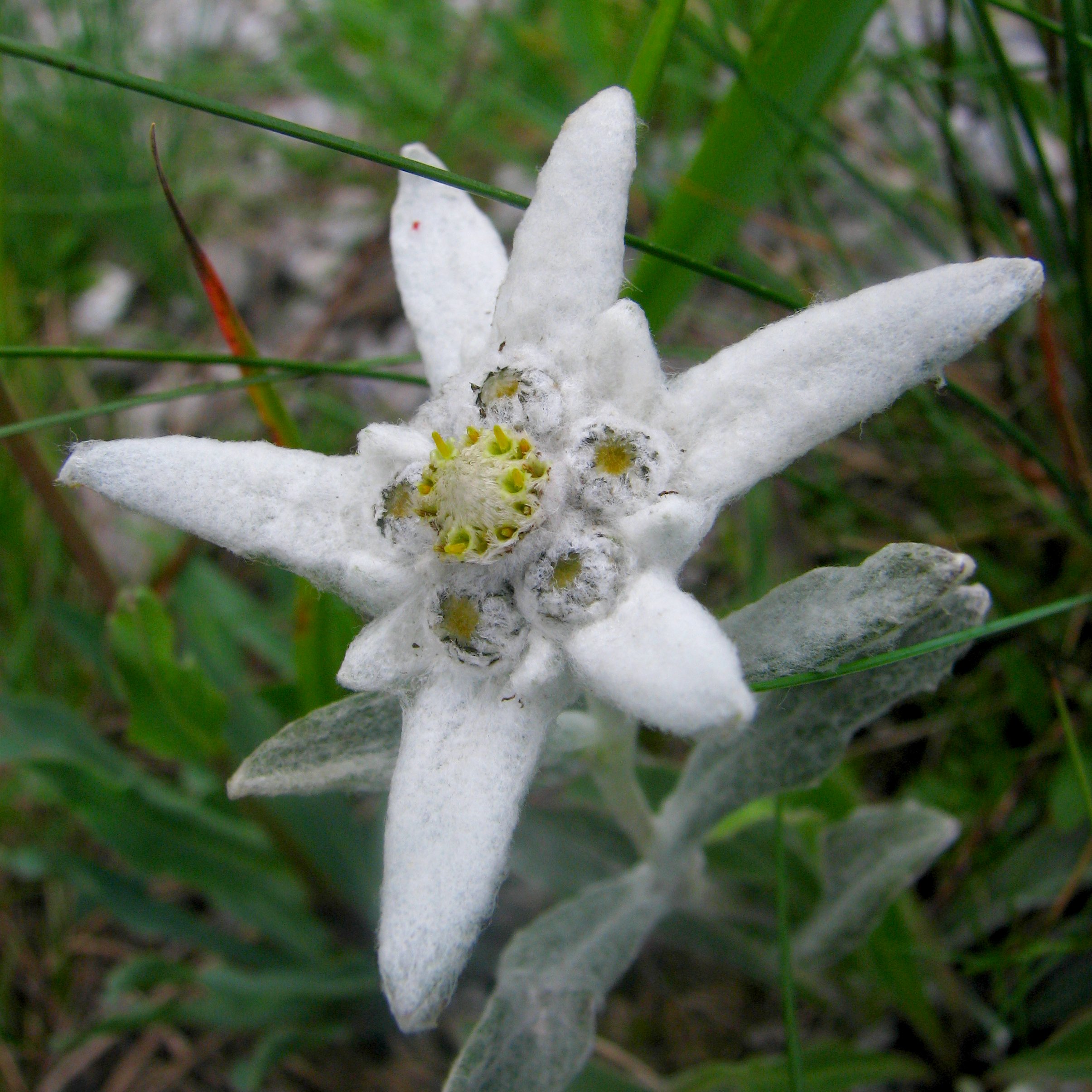
Ceahlău National Park shelters a large variety of flora and fauna; some of the species are endemic or rarely seen elsewhere in Romania.
Hiking
Mount Ceahlău is a popular hiking destination in Romania. There are seven main marked trails built for hikers and tourists[2]. There are entering fees for visiting Ceahlău National Park.[3] and fines for non respecting park's regulations.[4]. The park is monitored by local rangers and there is also a mountain rescue service (Salvamont).[5]
Skiing
The ski slopes are located in Durău.
Camping
Camping is permitted only in a few designated places: in Durău, near Dochia Chalet and in Izvorul Muntelui.
Chalets and refuges
- Izvorul Muntelui Chalet (757 m of altitude, basecamp), near Bicaz
- Dochia Chalet (1750 m, near Toaca Peak)
- Fântânele Chalet (1220m, near Durău)[6]
- Ceahlău - Toaca weather station
Notable sights and places
- Duruitoarea waterfall
- Panaghia rock
- Piatra Lată din Ghedeon rock formation
- Ocolaşul Mic Peak
- Dochia Rock
- Turnul lui Butu Stone
- Poiana Maicilor (engl: Nuns' glade)
- Poiana Stănile
- Poliţa cu crini protected area
- Gardul Stănilelor
Other uses of the name
- Ceahlăul Stadium, in Piatra Neamţ
- FC Ceahlăul Piatra Neamţ, a Romanian soccer team
External links
- Ceahlău National Park official website
- Ceahlău National Park on Romania tourism official website
- Ceahlău on Visit Neamt page
- Picture gallery
- Website with information about the Carpathians Mountains
- Photos of Ceahlău Massif
References
Seven Natural Wonders of Romania Danube Delta · Retezat National Park · Scărişoara Cave · Cheile Nerei-Beuşniţa National Park · Ceahlău Massif · Piatra Craiului Mountains · Sphinx and Babele

Protected areas of Romania Biosphere reserve National parks Călimani · Ceahlău · Cheile Bicazului-Hăşmaş · Cheile Nerei-Beuşniţa · Domogled-Valea Cernei · Măcin Mountains · Piatra Craiului Mountains · Semenic-Cheile Caraşului · Vânători-NeamţNature parks Apuseni Mountains · Balta Mică a Brăilei · Bucegi Mountains · Grădiştea Muncelului-Cioclovina · Iron GatesCategories:- Neamţ County geography stubs
- Mountain ranges of Romania
- Neamţ County
- Mountain ranges of the Eastern Carpathians

Wikimedia Foundation. 2010.