- Capitan, New Mexico
Infobox Settlement
official_name = Capitan, New Mexico
settlement_type = Village
nickname =
motto =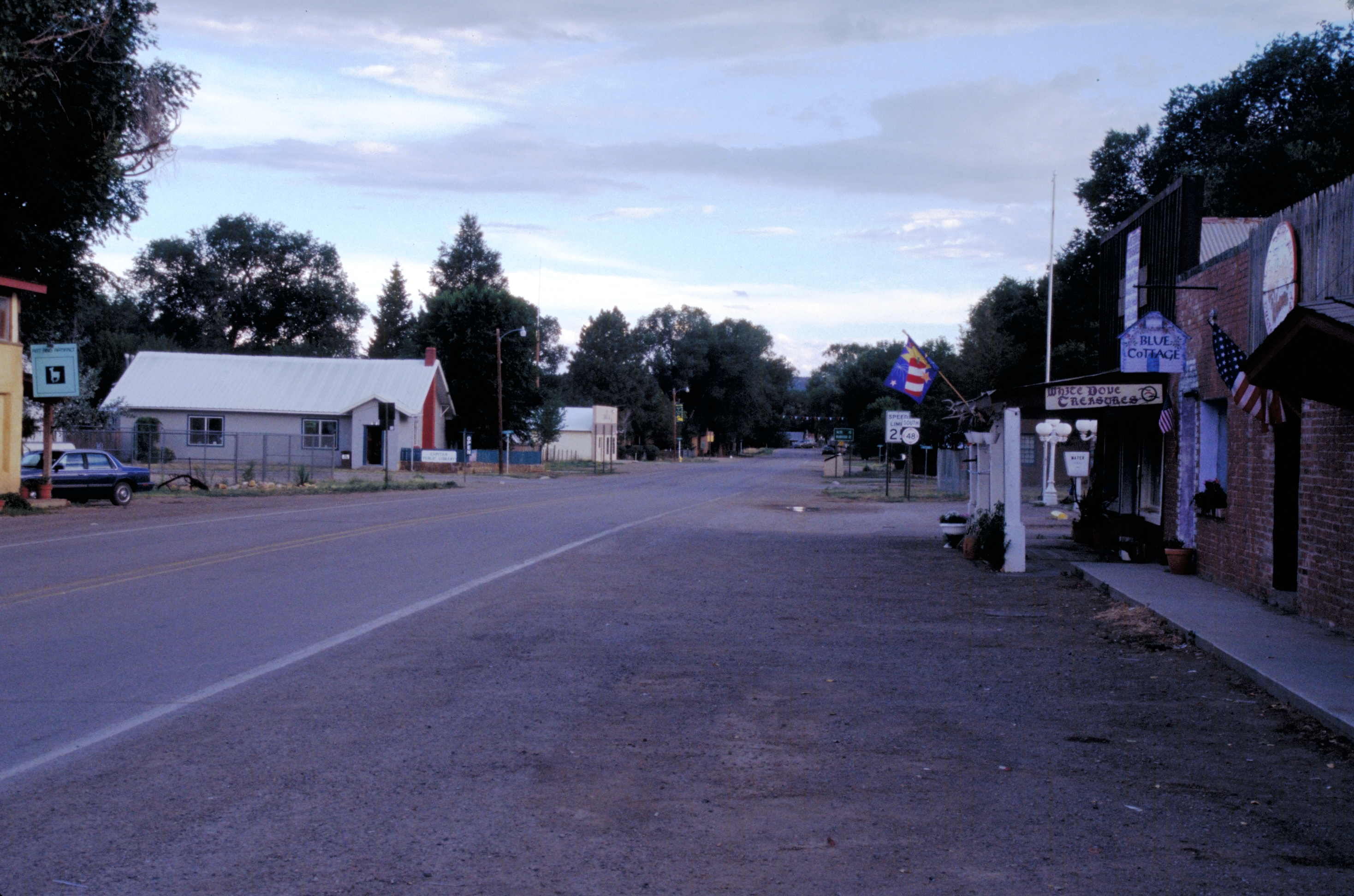
imagesize = 250px
image_caption = TheBilly the Kid Trail through Capitan
image_
image_
mapsize = 250px
map_caption = Location of Capitan, New Mexico
mapsize1 =
map_caption1 =subdivision_type = Country
subdivision_name =United States
subdivision_type1 = State
subdivision_name1 =New Mexico
subdivision_type2 = County
subdivision_name2 = Lincoln
government_footnotes =
government_type =
leader_title =
leader_name =
leader_title1 =
leader_name1 =
established_title =
established_date =unit_pref = Imperial
area_footnotes =
area_magnitude =
area_total_km2 = 8.3
area_land_km2 = 8.3
area_water_km2 = 0.0
area_total_sq_mi = 3.2
area_land_sq_mi = 3.2
area_water_sq_mi = 0.0population_as_of = 2000
population_footnotes =
population_total = 1443
population_density_km2 = 174.1
population_density_sq_mi = 450.9timezone = Mountain (MST)
utc_offset = -7
timezone_DST = MDT
utc_offset_DST = -6
elevation_footnotes =
elevation_m = 1935
elevation_ft = 6348
latd = 33 |latm = 32 |lats = 38 |latNS = N
longd = 105 |longm = 34 |longs = 59 |longEW = Wpostal_code_type =
ZIP code
postal_code = 88316
area_code = 575
blank_name = FIPS code
blank_info = 35-11800
blank1_name = GNIS feature ID
blank1_info = 0923574
website =
footnotes =Capitan is a village in Lincoln County,
New Mexico ,United States , located north of theLincoln National Forest between the Capitan andSacramento Mountains at an elevation of 6,530 feet (1,990 m). The population was 1,443 at the 2000 census. Capitan was founded in the 1890s and incorporated in 1941.Geography
Capitan is located at coor dms|33|32|38|N|105|34|59|W|city (33.543775, -105.583056)GR|1.
According to the
United States Census Bureau , the village has a total area of 3.2 square miles (8.3 km²), all of it land.Demographics
As of the
census GR|2 of 2000, there were 1,443 people, 605 households, and 416 families residing in the village. Thepopulation density was 450.9 people per square mile (174.1/km²). There were 717 housing units at an average density of 224.0/sq mi (86.5/km²). The racial makeup of the village was 87.53% White, 0.55% African American, 1.46% Native American, 0.55% Asian, 0.07% Pacific Islander, 7.76% from other races, and 2.08% from two or more races. Hispanic or Latino of any race were 19.20% of the population.There were 605 households out of which 26.4% had children under the age of 18 living with them, 56.0% were married couples living together, 9.8% had a female householder with no husband present, and 31.2% were non-families. 27.4% of all households were made up of individuals and 10.4% had someone living alone who was 65 years of age or older. The average household size was 2.39 and the average family size was 2.91.
In the village the population was spread out with 24.9% under the age of 18, 5.9% from 18 to 24, 22.6% from 25 to 44, 29.9% from 45 to 64, and 16.6% who were 65 years of age or older. The median age was 42 years. For every 100 females there were 97.4 males. For every 100 females age 18 and over, there were 93.4 males.
The median income for a household in the village was $27,188, and the median income for a family was $32,115. Males had a median income of $23,500 versus $16,902 for females. The
per capita income for the village was $15,062. About 8.3% of families and 13.0% of the population were below thepoverty line , including 13.7% of those under age 18 and 12.1% of those age 65 or over.Transportation
Major Highways
*U.S. Route 380
* NM 48
* NM 246mokey Bear
In spring of 1950, a badly burned black bear cub was rescued from a large forest fire in the Capitan Mountains. First called Hotfoot Teddy, he was later renamed Smokey and became the real-life version of the
United States Forest Service mascotSmokey Bear . Smokey was later sent to the National Zoo inWashington, D.C. , where he lived for 26 years. After passing away, Smokey was returned to the village of Capitan and buried at what is now the Smokey Bear Historical Park.References
External links
* [http://www.zianet.com/village/index.html Village of Capitan Webpage]
* [http://www.villageofcapitan.com/ Village of Capitan Chamber of Commerce Webpage]
* [http://www.emnrd.state.nm.us/FD/SmokeyBear/SmokeyBearPark.htm Smokey Bear Historical Park]
* [http://www.smokeybeardays.org/ Smokey Bear Days]
* [http://www.atasteofcapitan.org/ A Taste of Capitan]
* [http://www.capitanauction.org/ Live Capitan Auction]
* [http://www.ataclincolncounty.org/ Capitan Farmers' Market]
Wikimedia Foundation. 2010.