- Daggett, Michigan
-
Daggett, Michigan — Village — Downtown Daggett Location of Daggett, Michigan
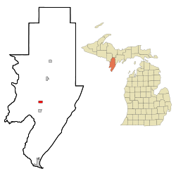
Coordinates: 45°27′47″N 87°36′10″W / 45.46306°N 87.60278°W Country United States State Michigan County Menominee Area – Total 1.1 sq mi (2.9 km2) – Land 1.1 sq mi (2.9 km2) – Water 0.0 sq mi (0.0 km2) Elevation 705 ft (215 m) Population (2000) – Total 270 – Density 244.3/sq mi (94.3/km2) Time zone Central (CST) (UTC-6) – Summer (DST) CDT (UTC-5) ZIP code 49821 Area code(s) 906 FIPS code 26-19560[1] GNIS feature ID 0624271[2] Daggett is a village in Menominee County of the U.S. state of Michigan. As of the 2000 census, the village population was 270. The village is located within Daggett Township and is part of the Marinette, WI–MI Micropolitan Statistical Area.
Contents
Geography
According to the United States Census Bureau, the village has a total area of 1.1 square miles (2.8 km2), all land.
Demographics
As of the census[1] of 2000, there were 270 people, 100 households, and 71 families residing in the village. The population density was 244.3 per square mile (93.9/km²). There were 109 housing units at an average density of 98.6 per square mile (37.9/km²). The racial makeup of the village was 98.52% White, 0.37% African American, and 1.11% from two or more races.
There were 100 households out of which 46.0% had children under the age of 18 living with them, 52.0% were married couples living together, 18.0% had a female householder with no husband present, and 29.0% were non-families. 25.0% of all households were made up of individuals and 12.0% had someone living alone who was 65 years of age or older. The average household size was 2.70 and the average family size was 3.24.
In the village the population was spread out with 35.2% under the age of 18, 6.3% from 18 to 24, 28.5% from 25 to 44, 16.3% from 45 to 64, and 13.7% who were 65 years of age or older. The median age was 34 years. For every 100 females there were 87.5 males. For every 100 females age 18 and over, there were 92.3 males.
The median income for a household in the village was $24,583, and the median income for a family was $28,750. Males had a median income of $26,000 versus $19,375 for females. The per capita income for the village was $9,910. About 21.5% of families and 24.1% of the population were below the poverty line, including 34.4% of those under the age of eighteen and 7.3% of those sixty five or over.
Images
-
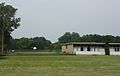
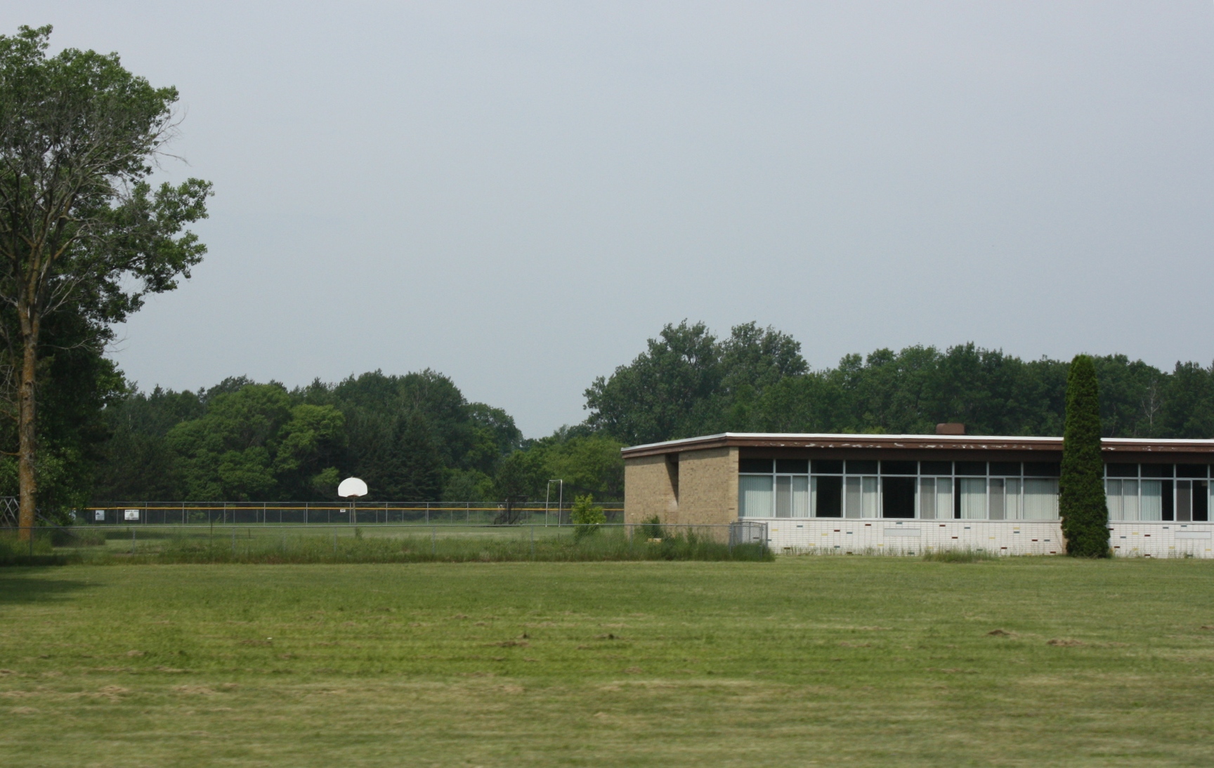
School
-
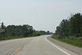
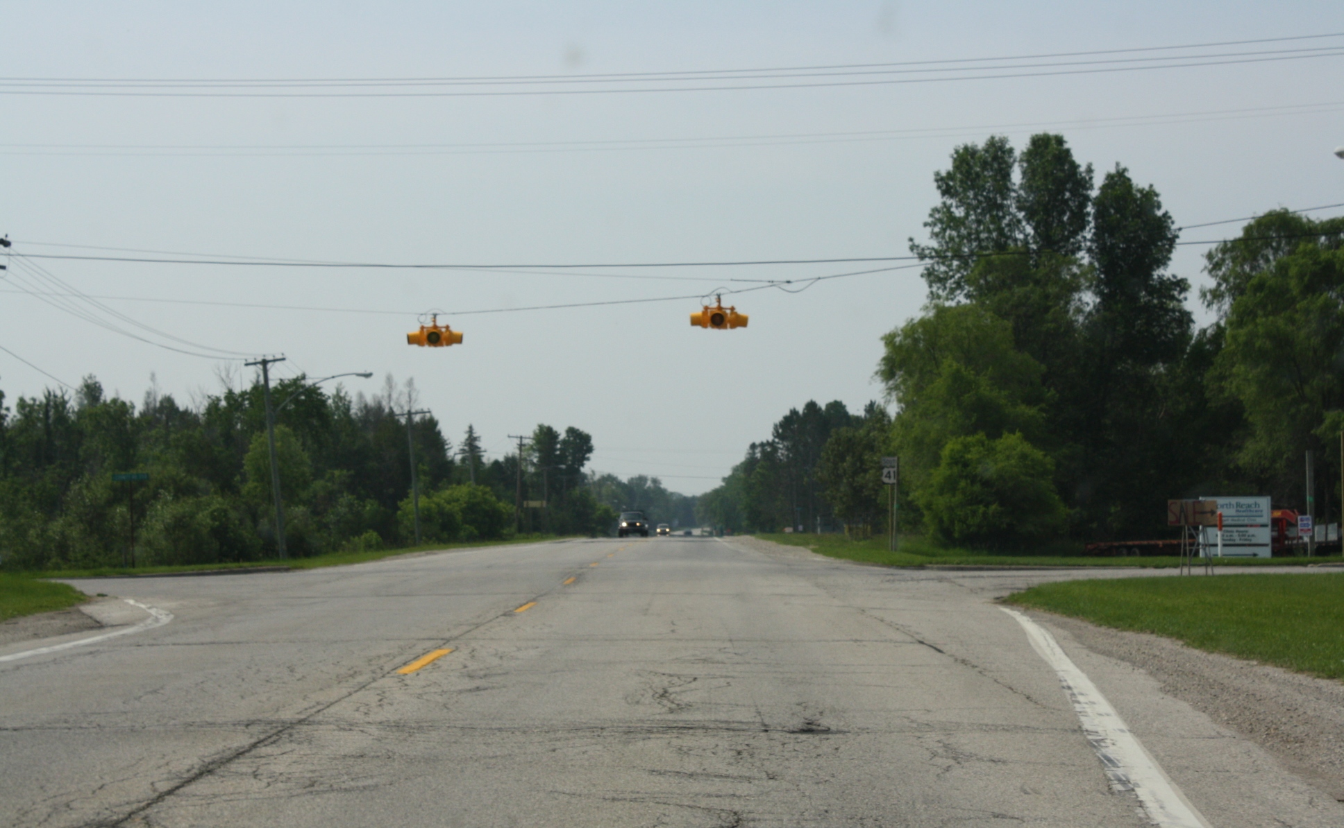
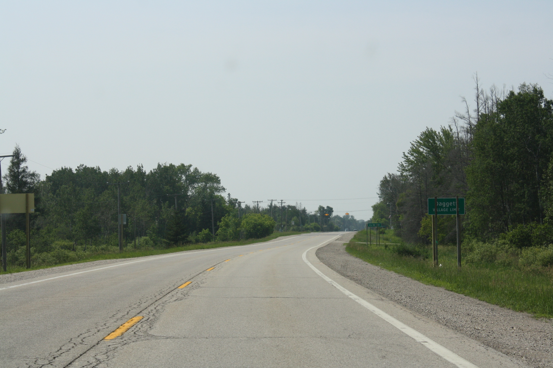
Welcome sign on U.S. Route 41
References
- ^ a b "American FactFinder". United States Census Bureau. http://factfinder.census.gov. Retrieved 2008-01-31.
- ^ "US Board on Geographic Names". United States Geological Survey. 2007-10-25. http://geonames.usgs.gov. Retrieved 2008-01-31.
Municipalities and communities of Menominee County, Michigan Cities 
Villages Townships Cedarville | Daggett | Faithorn | Gourley | Harris | Holmes | Ingallston | Lake | Mellen | Menominee | Meyer | Nadeau | Spalding | Stephenson
Unincorporated
communitiesFaithorn | Hermansville | Ingalls | Nadeau | Spalding | Wilson
Coordinates: 45°27′49″N 87°36′23″W / 45.46361°N 87.60639°W
Categories:- Populated places in Menominee County, Michigan
- Villages in Michigan
- Marinette micropolitan area
-


Wikimedia Foundation. 2010.