- Muker
-
Coordinates: 54°23′02″N 2°08′48″W / 54.38378°N 2.14673°W
Muker 
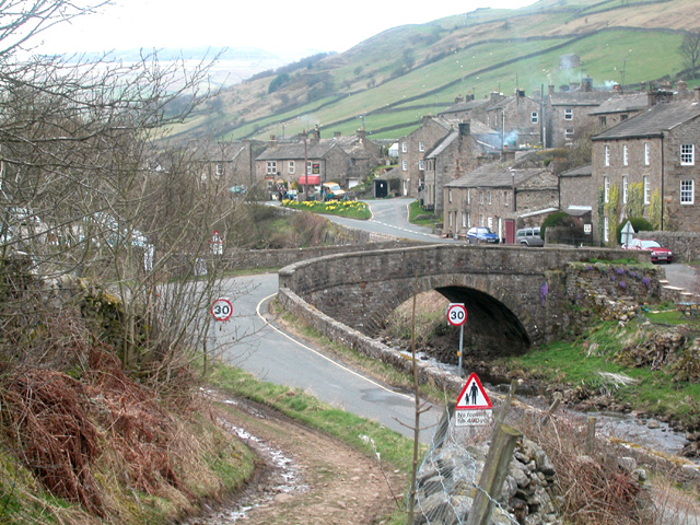
Muker Village looking west (photo by Dennis Turner). The beck in the foreground is the Straw Beck, a tributary of the River Swale which it joins a short distance away to the northeast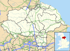
 Muker
Muker
Muker shown within North YorkshireOS grid reference NY891010 District Richmondshire Shire county North Yorkshire Region Yorkshire and the Humber Country England Sovereign state United Kingdom Post town RICHMOND Postcode district DL11 Police North Yorkshire Fire North Yorkshire Ambulance Yorkshire EU Parliament Yorkshire and the Humber List of places: UK • England • Yorkshire 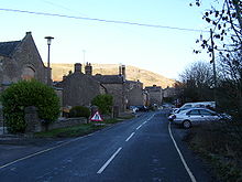 A closer look at the village
Muker is a village and civil parish in the Richmondshire district of North Yorkshire, England. Situated in Swaledale, one of the Yorkshire Dales, its name reflects its origin as a Norse settlement, derived from the Norse word "Mjor-aker" meaning "the narrow acre". The earliest recorded evidence for occupation in and around Muker takes the form of a skeleton found, with flints, on Muker Common in the early 20th century. Details suggest a burial of Bronze Age date. The location at the meeting of the River Swale and the Straw Beck with plenty of good meadow land around is most likely why the Vikings chose to settle here, giving them the opportunity to make a living out of mixed farming and pastoral farming.
Agriculture continued to be the basis of economy in Muker until lead mining became more important during the late 18th century and the early 19th century. Muker was also a major centre for hand knitting during this period. The importance of these industries is reflected in the many cottages, workshops and other buildings constructed at the time.
The church of St Mary the Virgin was built during the reign of Elizabeth I. A chapel of ease had stood on this site previously but in 1580 it was substantially rebuilt and a graveyard consecrated so that residents of Upper Swaledale no longer had to transport their dead all the way to the parish church in Grinton. The tower, nave and chancel all date from this period. The church was restored in 1891.
With the decline of the mining industry, farming remained the principal occupation. From the late 19th century Muker began to see an increasing number of visitors and holiday makers and today the village is a popular starting point for walks in the area, with a great number of breath-taking public footpaths in Upper Swaledale.
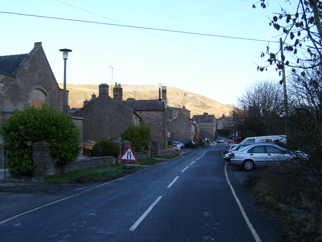
The traditional late 18th and early 19th century barns and drystone walls of Swaledale are the most characteristic feature of the landscape. The flower-rich hay meadows around Muker are of international importance and are carefully protected. Farmers receive grants which allow them to farm the land by traditional methods, without using artificial fertilizers.
Muker is also home to the Muker Silver Band, a brass band formed in 1897.[1] The band, which recently celebrated its hundredth anniversary, is now one of the last surviving bands in Swaledale and Wensleydale, and still maintains a busy calendar of public appearances.
Muker is at grid reference SD910978, on the banks of the Straw Beck near its confluence with the River Swale.
Although at one time a centre for lead mining, the main economic activities are now woollen clothing, tourism and sheep farming.
The pub is called the Farmers Arms. Muker also has a village shop and post office as well as craft shops and a café. Originally the Vicarage, the Muker village tea shop was built in 1680 and retains much of its 'Olde worlde charm' today. A Park Information Point for the Yorkshire Dales National Park can be found at the Muker Village store.
References
- ^ "About Muker Silver Band". Muker Silver Band. 2009. http://www.mukerband.co.uk/band.htm. Retrieved 2 August 2011.
External links
- BBC News – Prince Charles visit to Muker
Categories:- Villages in North Yorkshire
- Civil parishes in North Yorkshire
- Hamlets in England
- Swaledale

Wikimedia Foundation. 2010.