- Blandford, Massachusetts
Infobox Settlement
official_name = Blandford, Massachusetts
nickname =
motto =
imagesize =
image_caption =
image_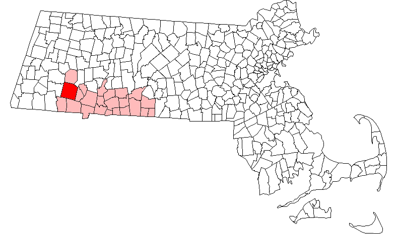
mapsize = 250px
map_caption = Location in Hampden County in Massachusetts
mapsize1 =
map_caption1 =
subdivision_type = Country
subdivision_name =United States
subdivision_type1 = State
subdivision_name1 =Massachusetts
subdivision_type2 = County
subdivision_name2 = Hampden
established_title = Settled
established_date = 1735
established_title2 = Incorporated
established_date2 = 1741
established_title3 =
established_date3 =
government_type =Open town meeting
leader_title =
leader_name =
leader_title1 =
leader_name1 =
area_magnitude =
area_total_km2 = 138.7
area_total_sq_mi = 53.6
area_land_km2 = 134.0
area_land_sq_mi = 51.7
area_water_km2 = 4.7
area_water_sq_mi = 1.8
population_as_of = 2000
settlement_type = Town
population_total = 1214
population_density_km2 = 9.1
population_density_sq_mi = 23.5
elevation_m = 443
elevation_ft = 1452
timezone = Eastern
utc_offset = -5
timezone_DST = Eastern
utc_offset_DST = -4
latd = 42 |latm = 10 |lats = 50 |latNS = N
longd = 72 |longm = 55 |longs = 40 |longEW = W
website =
postal_code_type = ZIP code
postal_code = 01008
area_code = 413
blank_name = FIPS code
blank_info = 25-06085
blank1_name = GNIS feature ID
blank1_info = 0619383
footnotes =Blandford is a town in Hampden County,
Massachusetts ,United States . The population was 1,214 at the 2000 census. It is part of theSpringfield, Massachusetts Metropolitan Statistical Area. It is the home of theBlandford Ski Area .History
Blandford was first settled in 1735 by Scots-Irish settlers and was officially incorporated in 1741. Settlement came to Blandford and other "hilltowns" some 75 years after more fertile alluvial lowlands along the
Connecticut River where tobacco and other commodity crops were cultivated. In contrast farming in the hilltowns was of a hardscrabble subsistence nature due to thin, rocky soil followingPleistocene glaciation and a slightly cooler climate, although upland fields were sometimes less subject to unseasonal frosts. Initial settlement in the nearby Pioneer Valley was by EnglishPuritan s whereas Blandford's Scots-Irish settlers were Presbyterian and their English was still somewhat influenced by Gaelic. Thus there were significant ethnic, religious, economic, and linguistic differences between these adjacent regions of settlement.Population density in Blandford and other hilltowns was limited by outmigration by about 1800 as more productive land in
Western New York and theNorthwest Territories became available, however emigrants were typically young men and women, while the older generation and usually one or two children usually remained in place and farms were not yet abandoned. Then theIndustrial Revolution drew additional manpower away from hilltown farms, especially after 1850 whensteam engine s fueled by local wood or by coal began to replace water power. Hilltown farms began to be abandoned about this time and slowly reverted to forest, leaving stone walls and cellar holes behind as farm buildings rotted away. In other cases farming became a part-time way of life and industrial wages enabled buying manufactured goods, whereas previously virtually everything used on subsistence farms was homemade or bartered for.Geography
According to the
United States Census Bureau , the town has a total area of 53.5 square miles (138.7 km²), of which, 51.7 square miles (134.0 km²) of it is land and 1.8 square miles (4.7 km²) of it (3.38%) is water.The town is located near the eastern edge of the Berkshire Hills, above an ancient rift zone where the
Connecticut River Valley is downfaulted about one thousand feet (300 m). The town's elevations range from about 400 feet (120 m) along streams approaching theWestfield River (a major tributary of the Connecticut) to hilltops as high as 1700 feet (500 m). Elevations increase to the west with expansive views eastward across the Connecticut River Valley as far asMount Monadnock in southern New Hampshire. Local relief is as high as 500 feet (150 m) near streams flowing into the Westfield River, but away from these streams the town is characterised by rolling uplands.Abandoned fields and pastures have reverted to forests of beech, birch, maple, hemlock, pine and oak. Land reserved for woodlots and never cleared was repeatedly logged, however logging has fallen off in recent decades so forests are reclaiming some old growth qualities and animal species that have been absent or rare for some 200 years are returning.
Blandford has significant water resources in its streams and ponds. The city of Springfield has reserved the upper watershed of the Little River, a tributary of the Westfield as the city's main water supply, Cobble Mountain Reservoir.
Demographics
As of the
census GR|2 of 2000, there were 1,214 people, 456 households, and 350 families residing in the town. Thepopulation density was 23.5 people per square mile (9.1/km²). There were 526 housing units at an average density of 10.2/sq mi (3.9/km²). The racial makeup of the town was 98.76% White, 0.49% African American, 0.16% Native American, 0.25% Asian, and 0.33% from two or more races. Hispanic or Latino of any race were 0.33% of the population.There were 456 households out of which 33.3% had children under the age of 18 living with them, 65.4% were married couples living together, 6.4% had a female householder with no husband present, and 23.2% were non-families. 19.5% of all households were made up of individuals and 6.6% had someone living alone who was 65 years of age or older. The average household size was 2.66 and the average family size was 3.03.
In the town the population was spread out with 24.1% under the age of 18, 6.6% from 18 to 24, 27.8% from 25 to 44, 31.8% from 45 to 64, and 9.6% who were 65 years of age or older. The median age was 40 years. For every 100 females there were 100.0 males. For every 100 females age 18 and over, there were 98.1 males.
The median income for a household in the town was $52,935, and the median income for a family was $59,375. Males had a median income of $37,708 versus $32,917 for females. The
per capita income for the town was $24,285. About 1.7% of families and 3.4% of the population were below thepoverty line , including 2.0% of those under age 18 and 5.9% of those age 65 or over.Points of interest
*Blandford is home to the
Blandford Ski Area , a small ski mountain owned by the Springfield Ski Club and open to the public. 2008-2009 marks its 73rd year of operation.
*The Blandford Fairgrounds plays host to the annual Labor Day weekend Blandford Fair. Home to old fashioned agricultural exhibits and competitions, a fun filled midway, and many musical acts each year. This fair is made possible by the hard work of many volunteers each year. [ [http://theblandfordfair.com:TheBlandfordFair.com] ]
*South of the fairgrounds is an historic white church building, no longer used for services. [http://www.thewhitechurch.org/]
*The oldest cemetery adjacent to Route 23 includes gravesites for original settlers, some born in Ireland.
*The Porter Memorial Library at 87 Main St. is built of fine yellow bricks made of local kaolin clay.Notable residents
*
George Ashmun , (1804-1870), born in Blandford,United States Congressman from Massachusetts cite book | title = Who Was Who in America, Historical Volume, 1607-1896 | publisher = Marquis Who's Who | location = Chicago | date = 1963]References
Wikimedia Foundation. 2010.