- Mangham, Louisiana
-
Village of Mangham Village  Downtown Mangham, Louisiana
Country United States State Louisiana Parish Richland Elevation 75 ft (22.9 m) Coordinates 32°18′30″N 91°46′34″W / 32.30833°N 91.77611°W Area 1.0 sq mi (2.6 km2) - land 1.0 sq mi (3 km2) - water 0.0 sq mi (0 km2), 0% Population 595 (2000) Density 590.0 / sq mi (227.8 / km2) Established 1890 Timezone CST (UTC-6) - summer (DST) CDT (UTC-5) Area code 318 
 Location of Mangham in Louisiana
 Location of Louisiana in the United States
 Welcome sign to Mangham on United States Highway 165
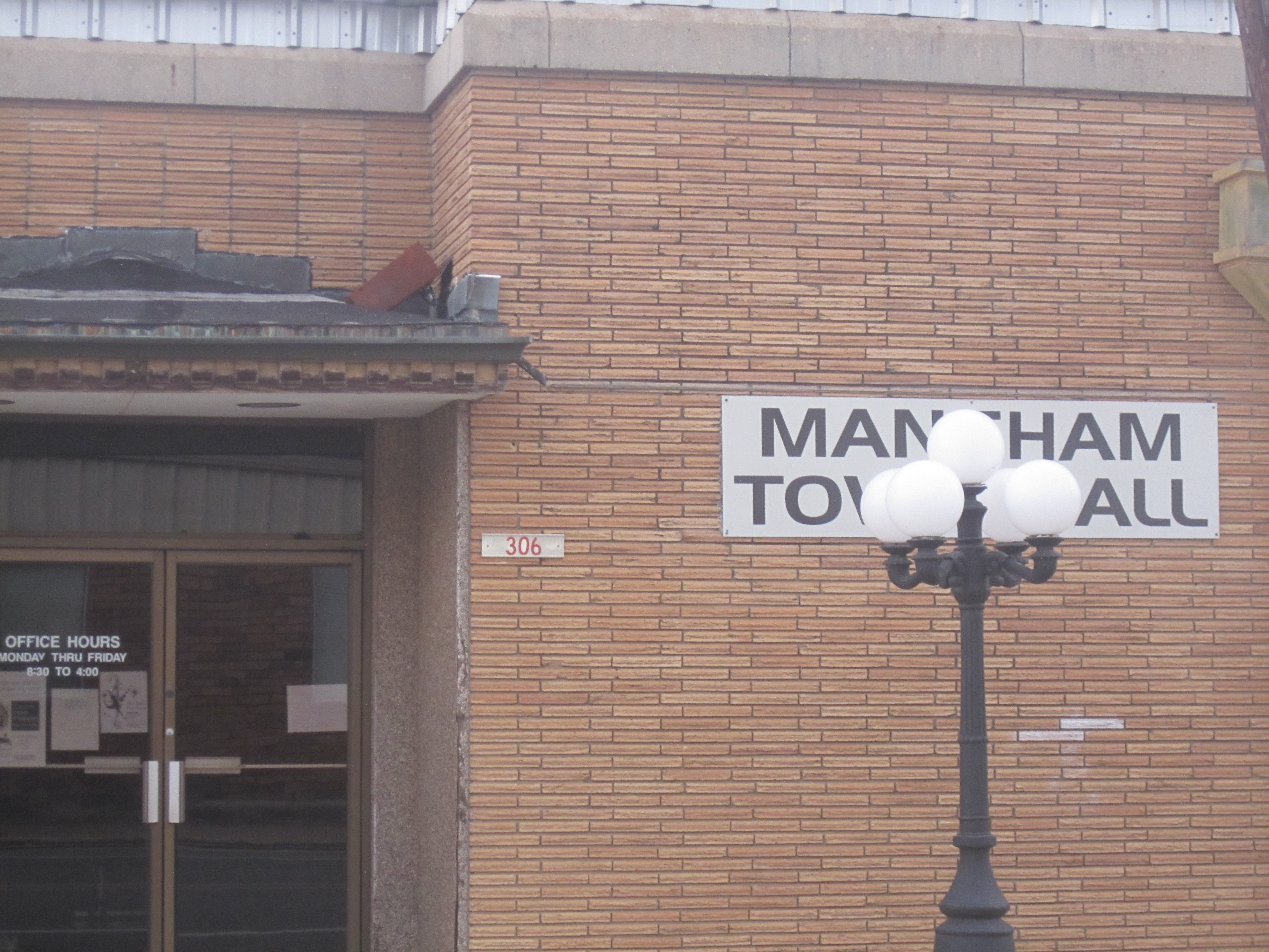
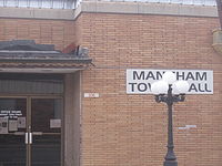 Mangham Town Hall

Mangham is a village in Richland Parish in northeastern Louisiana, United States. The population was 595 at the 2000 census. Mangham was established in 1890. It is named for Wyley P. Mangham (died 1896), the publisher of the Richland Beacon-News, a weekly newspaper in Rayville, the seat of Richland Parish.
Contents
Geography
Mangham is located at 32°18′30″N 91°46′34″W / 32.30833°N 91.77611°W (32.308304, -91.776225)[1].
According to the United States Census Bureau, the town has a total area of 1.0 square mile (2.6 km2), all of it land.
The community straddles the border with Franklin Parish. Louisiana Highway 15 runs through Mangham.
Demographics
As of the census[2] of 2000, there were 595 people, 247 households, and 170 families residing in the town. The population density was 590.0 people per square mile (227.5/km²). There were 268 housing units at an average density of 265.7 per square mile (102.5/km²). The racial makeup of the town was 59.66% White, 39.83% African American, 0.17% Asian, and 0.34% from two or more races. Hispanic or Latino of any race were 1.34% of the population.
There were 247 households out of which 28.3% had children under the age of 18 living with them, 40.9% were married couples living together, 27.1% had a female householder with no husband present, and 30.8% were non-families. 28.7% of all households were made up of individuals and 13.0% had someone living alone who was 65 years of age or older. The average household size was 2.41 and the average family size was 2.96.
In the town the population was spread out with 27.1% under the age of 18, 7.4% from 18 to 24, 24.4% from 25 to 44, 23.5% from 45 to 64, and 17.6% who were 65 years of age or older. The median age was 38 years. For every 100 females there were 85.4 males. For every 100 females age 18 and over, there were 72.9 males.
The median income for a household in the town was $17,500, and the median income for a family was $23,558. Males had a median income of $22,273 versus $18,125 for females. The per capita income for the town was $15,813. About 22.0% of families and 28.3% of the population were below the poverty line, including 42.8% of those under age 18 and 9.0% of those age 65 or over.
Education
Public schools in Richland Parish are operated by the Richland Parish School Board. Three campuses serve the village of Mangham - Mangham Elementary School (Grades PK-5), Mangham Junior High School (Grades 6-8), and Mangham High School (Grades 9-12). The current principal of MHS is Althan Smith.
Notable people
- Noble Ellington is a veteran member of both houses of the Louisiana State Legislature, having served continuously since 1988. He is a 1960 graduate of Mangham High School.
- Robert Neal Harwell is the current mayor of Mangham.
- Bennie Hixon, a former principal of Mangham High School, self-published The History of Mangham and the Big Creek—Boeuf River to 1940.
- Keith Owen Munyan, Jr. (born 1961), is a commercial photographer in Los Angeles whose client list includes actresses Hilary Duff, Cindy Crawford, and Jessica Simpson. Munyan played on his father's football, basketball, and baseball teams at Mangham High School. He is a former model.
- Keith Owen "Moose" Munyan, Sr. (September 6, 1932 - July 8, 1996), became the head football coach at Mangham High School in 1963 and held the position for twenty-seven years. Teams under Coach Munyan compiled an outstanding record of 204 wins, 78 losses, and 6 ties. He led his teams to sixteen district championships and was selected "District Coach of the Year" on eighteen occasions. Munyan held various offices with the Louisiana High School Coaches Association and was honored by the organization for twenty-five years of service.
- Frellsen Reese (1919–2007) was a former mayor of Mangham and a retired military officer.
- Robert Max Ross (1933–2009)[3] ran unsuccessfully as a Republican for Louisiana governor in 1971 and 1983, the United States Senate in 1984 and 1986, the Louisiana State Senate in 1972, and mayor of Mangham in 2002. Benny Hixon said that Ross, a businessman, was the first active Republican in Mangham in the 20th century. Ross graduated from Mangham High School and Louisiana State University and was a former United States Air Force major. His obituary describes him as having been "instrumental in bringing about the first Republican gubernatorial primary in the state of Louisiana" in 1971, a nomination won by David C. Treen.[3]
References
- ^ "US Gazetteer files: 2010, 2000, and 1990". United States Census Bureau. 2011-02-12. http://www.census.gov/geo/www/gazetteer/gazette.html. Retrieved 2011-04-23.
- ^ "American FactFinder". United States Census Bureau. http://factfinder.census.gov. Retrieved 2008-01-31.
- ^ a b "Obituary of Robert Max Ross". Monroe News Star. http://www.thenewsstar.com/apps/pbcs.dll/dclassifieds?Dato=20090917&Kategori=OBITUARY&Class=30&Type=CAT30200&Lopenr=90900159&Selected=3. Retrieved September 17, 2009.
External links
- Mangham Progress Community Progress Site for Mangham, LA
Municipalities and communities of Richland Parish, Louisiana Towns 
Village Mangham
Unincorporated
communityCategories:- Populated places in Richland Parish, Louisiana
- Towns in Louisiana


Wikimedia Foundation. 2010.