- New York State Route 316
-
NYS Route 316
Route information Maintained by NYSDOT Length: 4.03 mi[2] (6.49 km) Existed: 1930[1] – present Major junctions South end:  NY 46 in Oneida
North end:  NY 31 in Lenox
Location Counties: Madison Highway system Numbered highways in New York
Interstate • U.S. • N.Y. (former) • Reference • County←  NY 315
NY 317  →
→New York State Route 316 (NY 316) is a state highway in Madison County, New York, in the United States. It begins at an intersection with NY 46 in the city of Oneida and ends at a junction with NY 31 in the hamlet of Oneida Valley, located in the town of Lenox. NY 316 parallels the Oneida Creek for virtually its entire length.
Contents
Route description
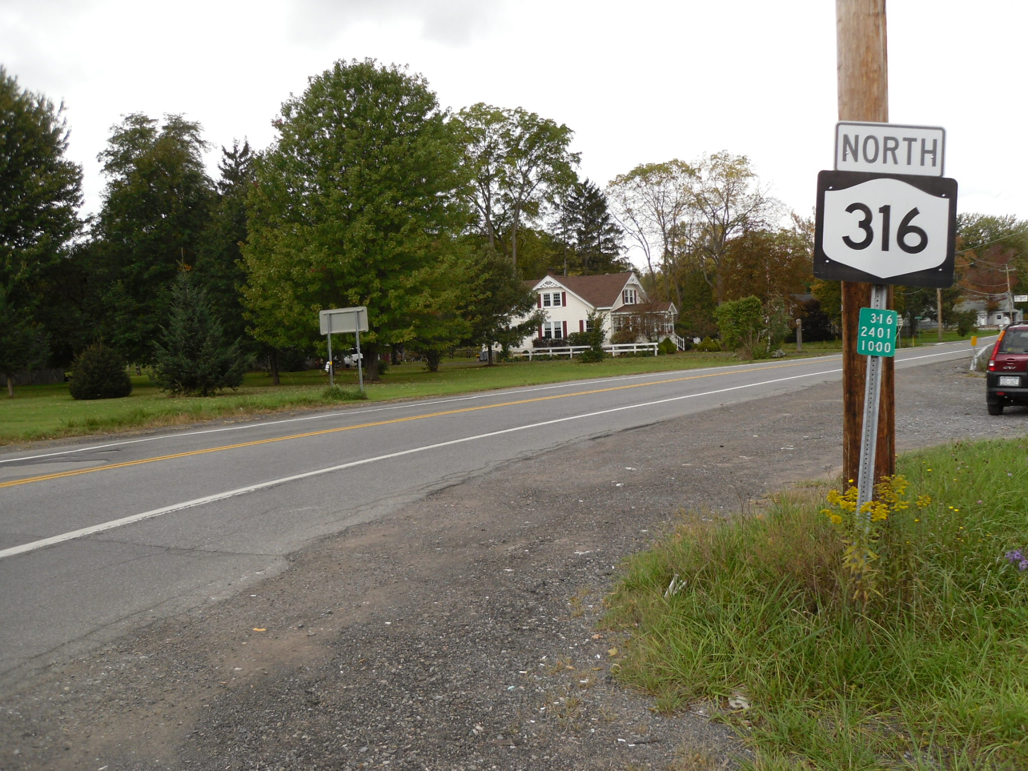
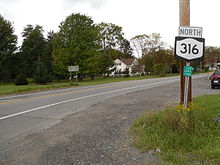 NY 316 heading northbound from its terminus at NY 46 in Oneida
NY 316 begins at an intersection with NY 46 in the outer reaches of the city of Oneida. The road heads to the northwest as Lake Road, passing residential homes as it parallels Oneida Creek through the rural, northern section of the city. NY 316 crosses into the town of Lenox about 2.5 miles (4.0 km) northwest of its southern end at NY 46, at which time it passes to the east of Kanon Valley Country Club. The route continues alongside the creek to the hamlet of Oneida Valley, where it ends at a junction with NY 31 just over 1 mile (1.6 km) southeast of Oneida Lake. NY 316 serves mainly as a connector between the lake and the city of Oneida; as such, all intermediate intersections on NY 316 are with local roads.[3]
History
When NY 31 was assigned in the mid-1920s, it initially served the city of Oneida instead of bypassing it to the north as it does today. NY 31 turned southeast at the hamlet of Oneida Valley, following what is now NY 316 and NY 46 into downtown Oneida, where it ended at NY 5.[4][5] In the 1930 renumbering of state highways in New York, NY 31 was realigned to follow its modern alignment east to Verona[6][7] while its former alignment into Oneida was redesignated as NY 316.[1] The route originally extended southward into downtown Oneida by way of an overlap with NY 46;[8] however, the concurrency was eliminated by 1970.[9]
Major intersections
The entire route is in Madison County.
Location Mile[2] Destinations Notes Oneida 0.00 NY 46Lenox 4.03 NY 31Hamlet of Oneida Valley 1.000 mi = 1.609 km; 1.000 km = 0.621 mi References
- ^ a b Dickinson, Leon A. (January 12, 1930). "New Signs for State Highways". The New York Times: p. 136.
- ^ a b "2008 Traffic Volume Report for New York State" (PDF). New York State Department of Transportation. June 16, 2009. p. 212. https://www.nysdot.gov/divisions/engineering/technical-services/hds-respository/NYSDOT%20TVR%202008%20by%20Route.pdf. Retrieved January 31, 2010.
- ^ Google, Inc. Google Maps – overview map of NY 316 (Map). Cartography by Google, Inc. http://maps.google.com/maps?ie=UTF8&q=from:+RT-316+%4043.154295,+-75.720985+to:+Lake+Rd+%4043.114583,+-75.668528&t=h&z=13&saddr=RT-316+%4043.154295,+-75.720985&daddr=Lake+Rd+%4043.114583,+-75.668528&geocode=FXd7kgId55Z8-w%3BFVfgkQId0GN9-w. Retrieved June 11, 2010.
- ^ "New York's Main Highways Designated by Numbers". The New York Times: p. XX9. December 21, 1924.
- ^ State of New York Department of Public Works (1926). Official Map Showing State Highways and other important roads (Map). Cartography by Rand McNally and Company.
- ^ Standard Oil Company of New York (1929). New York in Soconyland (Map). Cartography by General Drafting.
- ^ Standard Oil Company of New York (1930). Road Map of New York (Map). Cartography by General Drafting.
- ^ United States Geological Survey (1946). Oneida Quadrangle – New York (northwestern portion) (Map). 1:62,500. http://docs.unh.edu/NY/onei46nw.jpg. Retrieved May 8, 2010.
- ^ State of New York Department of Transportation (January 1, 1970) (PDF). Official Description of Touring Routes in New York State. http://www.greaternyroads.info/pdfs/state70.pdf. Retrieved May 8, 2010.
External links
Categories:- State highways in New York
- Transportation in Madison County, New York

Wikimedia Foundation. 2010.