- Muckanaghederdauhaulia
-
Coordinates: 53°20′28″N 9°34′09″W / 53.341125°N 9.569153°W
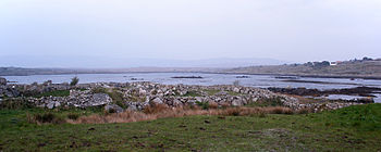
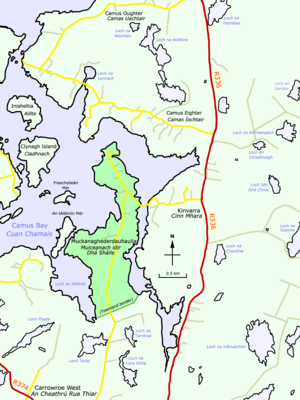
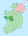
Muckanaghederdauhaulia (Irish: Muiceanach idir Dhá Sháile, meaning "piggery between two briny places")[1] is a 470 acre townland in the civil parish of Kilcummin in County Galway, Ireland. It is in the poor law union of Oughterard in the barony of Moycullen.
It was formerly regarded as the longest place name in Ireland (22 letters in English; 26 in Irish), but awareness of longer names has challenged Muckanaghederdauhaulia.
The townland lies on a low, boggy peninsula in Camus Bay and can be reached by turning west from the R336 road at Cinn Mhara, or by going northwest on the R374 road out of Casla, then turning onto Bóthar na Scratóg and going north.
See also
List of longest placenames in Ireland
References
- ^ Muckanaghederdauhaulia at the Irish Placenames Database. Retrieved: 2010-09-30.
Categories:- Townlands of County Galway
Wikimedia Foundation. 2010.


