- Dunreith, Indiana
-
Town of Dunreith, Indiana — Town — Location in the state of Indiana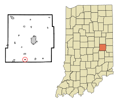
Coordinates: 39°48′11″N 85°26′13″W / 39.80306°N 85.43694°WCoordinates: 39°48′11″N 85°26′13″W / 39.80306°N 85.43694°W Country United States State Indiana County Henry Township Spiceland Area – Total 0.1 sq mi (0.4 km2) – Land 0.1 sq mi (0.4 km2) – Water 0.0 sq mi (0.0 km2) Elevation 1,043 ft (318 m) Population (2010) – Total 177 – Density 1,314.2/sq mi (507.4/km2) Time zone EST (UTC-5) – Summer (DST) EST (UTC-5) ZIP code 47337 Area code(s) 765 FIPS code 18-19162[1] GNIS feature ID 0433801[2] Dunreith is a town in Spiceland Township, Henry County, Indiana, United States. The population was 177 at the 2010 census.
Contents
Geography
Dunreith is located at 39°48′11″N 85°26′13″W / 39.80306°N 85.43694°W (39.802940, -85.436849)[3].
According to the United States Census Bureau, the town has a total area of 0.1 square miles (0.26 km2), all of it land.
Demographics
As of the census[1] of 2000, there were 184 people, 75 households, and 62 families residing in the town. The population density was 1,316.7 people per square mile (507.4/km²). There were 78 housing units at an average density of 558.2 per square mile (215.1/km²). The racial makeup of the town was 100.00% White. Hispanic or Latino of any race were 1.09% of the population.
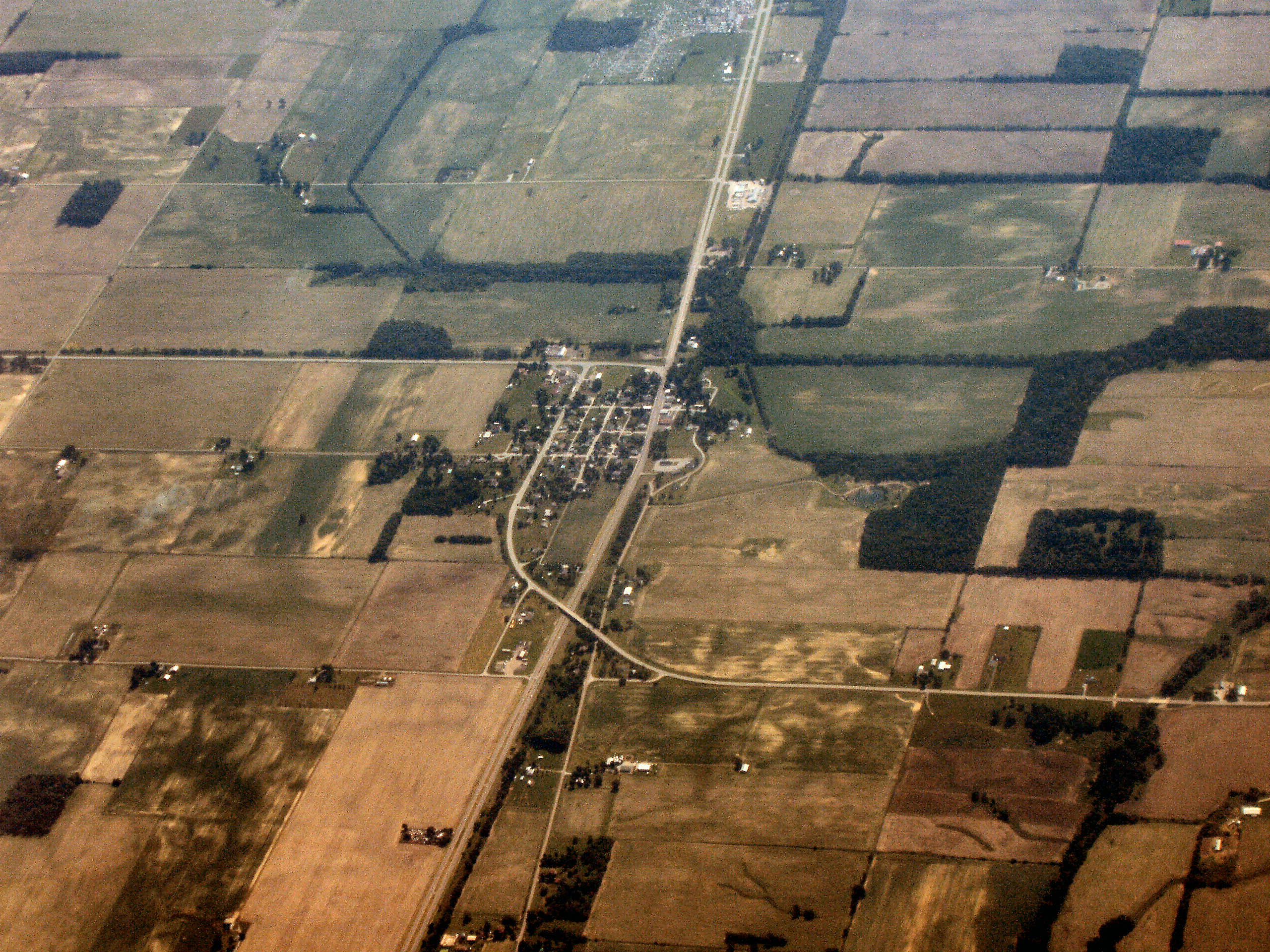
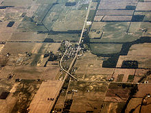 Dunreith from the air, looking east.
There were 75 households out of which 28.0% had children under the age of 18 living with them, 64.0% were married couples living together, 10.7% had a female householder with no husband present, and 17.3% were non-families. 17.3% of all households were made up of individuals and 12.0% had someone living alone who was 65 years of age or older. The average household size was 2.45 and the average family size was 2.68.
In the town the population was spread out with 17.9% under the age of 18, 9.2% from 18 to 24, 28.3% from 25 to 44, 26.6% from 45 to 64, and 17.9% who were 65 years of age or older. The median age was 42 years. For every 100 females there were 104.4 males. For every 100 females age 18 and over, there were 101.3 males.
The median income for a household in the town was $39,250, and the median income for a family was $44,688. Males had a median income of $40,781 versus $25,357 for females. The per capita income for the town was $20,697. About 1.8% of families and 4.7% of the population were below the poverty line, including none of those under the age of eighteen and 12.5% of those sixty five or over.
Events of note
In 1968, 250 residents of Dunreith had to be evacuated for 48 hours after two freight trains sideswiped, releasing flammable and poisonous liquids that resulted in a major fire and a huge explosion. The fire destroyed a cannery and seven houses; cyanide pollution of the water persisted for several months.
References
- ^ a b "American FactFinder". United States Census Bureau. http://factfinder.census.gov. Retrieved 2008-01-31.
- ^ "US Board on Geographic Names". United States Geological Survey. 2007-10-25. http://geonames.usgs.gov. Retrieved 2008-01-31.
- ^ "US Gazetteer files: 2010, 2000, and 1990". United States Census Bureau. 2011-02-12. http://www.census.gov/geo/www/gazetteer/gazette.html. Retrieved 2011-04-23.
Municipalities and communities of Henry County, Indiana City 
Towns Blountsville | Cadiz | Dunreith | Greensboro | Kennard | Knightstown | Lewisville | Middletown | Mooreland | Mount Summit | Shirley‡ | Spiceland | Springport | Straughn | Sulphur Springs
Townships Blue River | Dudley | Fall Creek | Franklin | Greensboro | Harrison | Henry | Jefferson | Liberty | Prairie | Spiceland | Stoney Creek | Wayne
Unincorporated
communitiesAshland | Corwin | Foley | Grant City | Hillsboro | Honey Creek | Knox | Luray | Maple Valley | Mechanicsburg | Messick | Millville | Mount Lawn | New Lisbon | Ogden | Stone Quarry Mills | Raysville | Rogersville | Van Nuys | Westwood
Footnotes ‡This populated place also has portions in an adjacent county or counties
Categories:- Populated places in Henry County, Indiana
- Towns in Indiana
- National Road

Wikimedia Foundation. 2010.