- Pennsylvania Route 430
-
PA Route 430
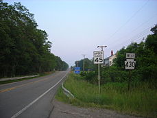
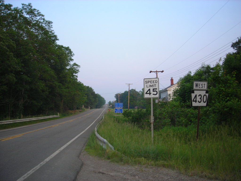
PA 430 heading westboundRoute information Maintained by PennDOT Length: 13.71 mi[1] (22.06 km) Existed: 1959 – present Major junctions West end:  US 20 in Wesleyville
 I-90 in Harborcreek Township.
 PA 531 in Harborcreek Township.
 PA 89 in Greenfield Township.
East end:  NY 430 at the New York state line near Findley Lake, NY
Location Counties: Erie Highway system Roads in Pennsylvania
Interstate • US • State • Legislative←  PA 428
PA 432  →
→Pennsylvania Route 430 is an 13.71-mile (22.06 km) long state highway located in Erie county in Pennsylvania. The western terminus is at US 20 in Wesleyville. The eastern terminus is the New York state line near Findley Lake, NY
Contents
Route description
History
State Route 430 was assigned to a previously unnumbered roadway[2] in Erie County in 1959.[3] The route was assigned as a continuation of New York State Route 430 (assigned by 1935 in NY[4]), which had been extended from Mayville.[5] The two designations have remained the same since.[6]
Major intersections
The entire route is in Erie County.
Location Mile[1] Destinations Notes Wesleyville 0.00 US 20 (Buffalo Road)0.49 Shannon Road Harborcreek Township 2.17  PA 290 (Bayfront Connector) / Jordan Road – Penn State Erie
Western terminus of concurrency with PA 290. 3.17 I-90Eastern terminus of PA 290. Exit 32 (I-90). 5.46 PA 531Southern terminus of PA 531. Greenfield Township 10.42 PA 8913.71 NY 430Continuation into New York. 1.000 mi = 1.609 km; 1.000 km = 0.621 mi
Concurrency terminus • Closed/Former • Incomplete access • Unopened|- |colspan=5 align=center bgcolor="#f2f2f2"|1.000 mi = 1.609 km; 1.000 km = 0.621 mi
See also
References
- ^ a b Yahoo! Inc. Yahoo! Maps – overview map of PA 430 (Map). Cartography by NAVTEQ. http://maps.yahoo.com/#mvt=m&lat=42.13612&lon=-79.88829&zoom=13&q1=42.140461%2C-80.014802&w0=42.131457832026456%2C-79.99591827392578%3B42.11668868558457%2C-79.89566802978515%3B42.11668868558457%2C-79.89566802978515&q2=42.11815%2C-79.761902. Retrieved 2008-11-21.
- ^ Pennsylvania Department of Highways (1954). Erie County, Pennsylvania (Map). Cartography by Pennsylvania Department of Highways (3 ed.).
- ^ Pennsylvania Department of Highways (1959). Pennsylvania Official Highway Map (Map). Cartography by Pennsylvania Department of Highways (3 ed.).
- ^ Sun Oil Company (1935). Road Map & Historical Guide - New York (Map). Cartography by Rand McNally and Company.
- ^ Sunoco (1952). New York (Map). Cartography by Rand McNally and Company.
- ^ Pennsylvania Department of Transportation (2008). Pennsylvania - Official State Map (Map).
External links
Transportation in Erie, Pennsylvania Numbered routes Other roads 12th Street • 26th Street • 38th Street • Bayfront Parkway • Bayfront Connector • Peach Street • State StreetAir Public Transit Rail Transportation Center Erie Intermodal Transportation CenterWater Erie-Western Pennsylvania Port AuthorityCategories:- Transportation in Erie, Pennsylvania
- State highways in Pennsylvania

Wikimedia Foundation. 2010.