Invergarry

Invergarry

Coordinates: 57°04′08″N 4°48′03″W / 57.06892°N 4.80086°W / 57.06892; -4.80086

Invergarry
Scottish Gaelic: Inbhir Garadh
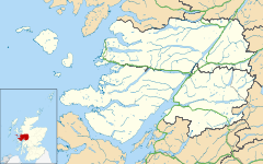
Invergarry is located in Lochaber
Invergarry

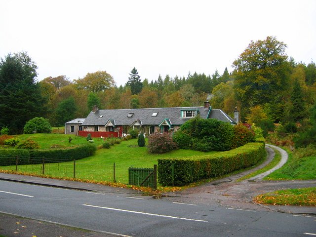
 Invergarry shown within the Lochaber area
Population 438 
OS grid reference NH302010
Council area Highland
Country Scotland
Sovereign state United Kingdom
Post town Invergarry
Postcode district PH35 4
Police Northern
Fire Highlands and Islands
Ambulance Scottish
EU Parliament Scotland
List of places: UK • Scotland •
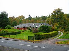
Cottages in Invergarry

Invergarry (Scottish Gaelic: Inbhir Garadh) is a village in the Highlands of Scotland. It is in the Great Glen, near where the River Garry flows into Loch Oich.

Near the centre of the village is the junction between the A82 road (from Inverness to Fort William) and the A87 road which branches off to the west towards Skye.

The ruined Invergarry Castle is situated near the village on Creagan an Fhithich (the Raven's Rock), overlooking Loch Oich.
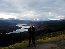
View across Glengarry


Wikimedia Foundation. 2010.

Игры ⚽ Поможем написать реферат

Look at other dictionaries:

  • Invergarry Castle — in the Scottish Highlands was the seat of the Chiefs of the Clan MacDonnell of Glengarry, a powerful branch of the Clan Donald. The castle s position overlooking Loch Oich on Creagan an Fhithich the Raven s Rock in the Great Glen, was a strategic …   Wikipedia

  • Invergarry and Fort Augustus Railway — The Invergarry and Fort Augustus Railway was a branch line railway built in Scotland, and served by the Highland Railway, the North British Railway and later the London North Eastern RailwayBeginningsThe Invergarry line was originally set out to… …   Wikipedia

  • Deaconsbank — Coordinates: 55°47′50″N 4°19′50″W / 55.797299°N 4.330448°W / 55.797299; 4.330448 …   Wikipedia

  • West Highland Line — Glasgow Queen Street–Oban/Mallaig Streckenlänge: 163/264 km Spurweite: 1435 mm (Normalspur) Zweigleisigkeit: nein Legende …   Deutsch Wikipedia

  • Ben Tee — Infobox Mountain Name = Ben Tee Photo = Ben Tee from Sron na Coire Ghairbh.jpg Caption = Ben Tee seen from the cairn on Sròn a Choire Ghairbh, 3 km to the SW. Elevation = 904 m (2966 ft) Location = Highland SCO Range = Northwest Highlands… …   Wikipedia

  • A87 road — UK road routebox road= A87 length mi= length km= direction= East to west start= Invergarry (gbmappingsmall|NH307011) destinations= end= Uig (gbmappingsmall|NG385635) construction date= completion date= junctions= ukroadsmall|82… …   Wikipedia

  • Clan MacDonell of Glengarry — MacDonell of Glengarry Crest badge …   Wikipedia

  • North British Railway — The North British Railway was a Scottish railway company that was absorbed into the London and North Eastern Railway at the Grouping in 1923. Waverley Station, Edinburgh with the North British Hotel on the left …   Wikipedia

  • School District 36 Surrey — British Columbia Region Metro/Coast Board office location Surrey Communities served Surrey, White Rock, Barnston Island …   Wikipedia

  • Clan MacDonald of Keppoch — Clan MacDonald of Keppoch, also known as Clan Ranald of Lochaber, is a Scottish clan and a branch of Clan Donald. Arms of MacDonald of Keppoch Contents 1 …   Wikipedia

Share the article and excerpts

Direct link
Do a right-click on the link above
and select “Copy Link”