- Mangla Dam
-
Mangla Dam 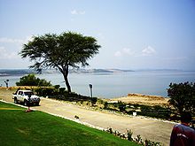
Mangla reservoirLocation of Mangla Dam

Country Pakistan-administered Kashmir Location Mangla, POK Coordinates 33°08′31″N 73°38′42″E / 33.142083°N 73.645015°ECoordinates: 33°08′31″N 73°38′42″E / 33.142083°N 73.645015°E Status Operational Construction began 1947 Opening date 1967 Dam and spillways Type of dam Embankment dam Height 138 m (453 ft) Length 3,140 m (10,302 ft) Impounds Jhelum River Reservoir Creates Mangla reservoir Capacity 7.25 km3 (5,880,000 acre·ft) Surface area 97 sq mi (251 km2) Power station Turbines 10 x 100 MW Installed capacity 1,000 MW The Mangla Dam (Urdu: منگلا بند) is located on the Jhelum River in the Mirpur District of Azad Kashmir, Pakistan. It is the sixteenth largest dam in the world.[1] It was built from 1961 to 1967 with funding from the World Bank. The project was designed and supervised by Binnie & Partners of London, and it was built by Mangla Dam Contractors, a consortium of 8 U.S. construction firms, sponsored by Guy F. Atkinson Company of South San Francisco. Mangla Dam Contractors employed Pakistanis, Americans, British, Canadians, Germans, and Irish.[2]
Contents
Historic development
As part of the Indus Waters Treaty signed in 1960, India gained rights to the waters of the Ravi, Sutlej and Beas rivers, while Pakistan, in addition to waters of the above three rivers within Pakistan and some monetary compensation, received the rights to develop the Jhelum, Chenab and Indus river basins through construction of the Indus Basin Project. Until 1967, the entire irrigation system of Pakistan was fully dependent on unregulated flows of the Indus and its major tributaries. The agricultural yield was very low for a number of reasons, the most important being a lack of water during critical growing periods. This problem stemmed from the seasonal variations in the river flow due to monsoons and the absence of storage reservoirs to conserve the vast amounts of surplus water during those periods of high river discharge. [3][4]
The Mangla Dam was the first development project undertaken to reduce this shortcoming and strengthen the irrigation system. The dam was damaged due to an Indian Air Force raid during the Indo-Pakistani War of 1971. As a consequence, the hydro project was temporarily out of service.[5]
The Mangla Dam project
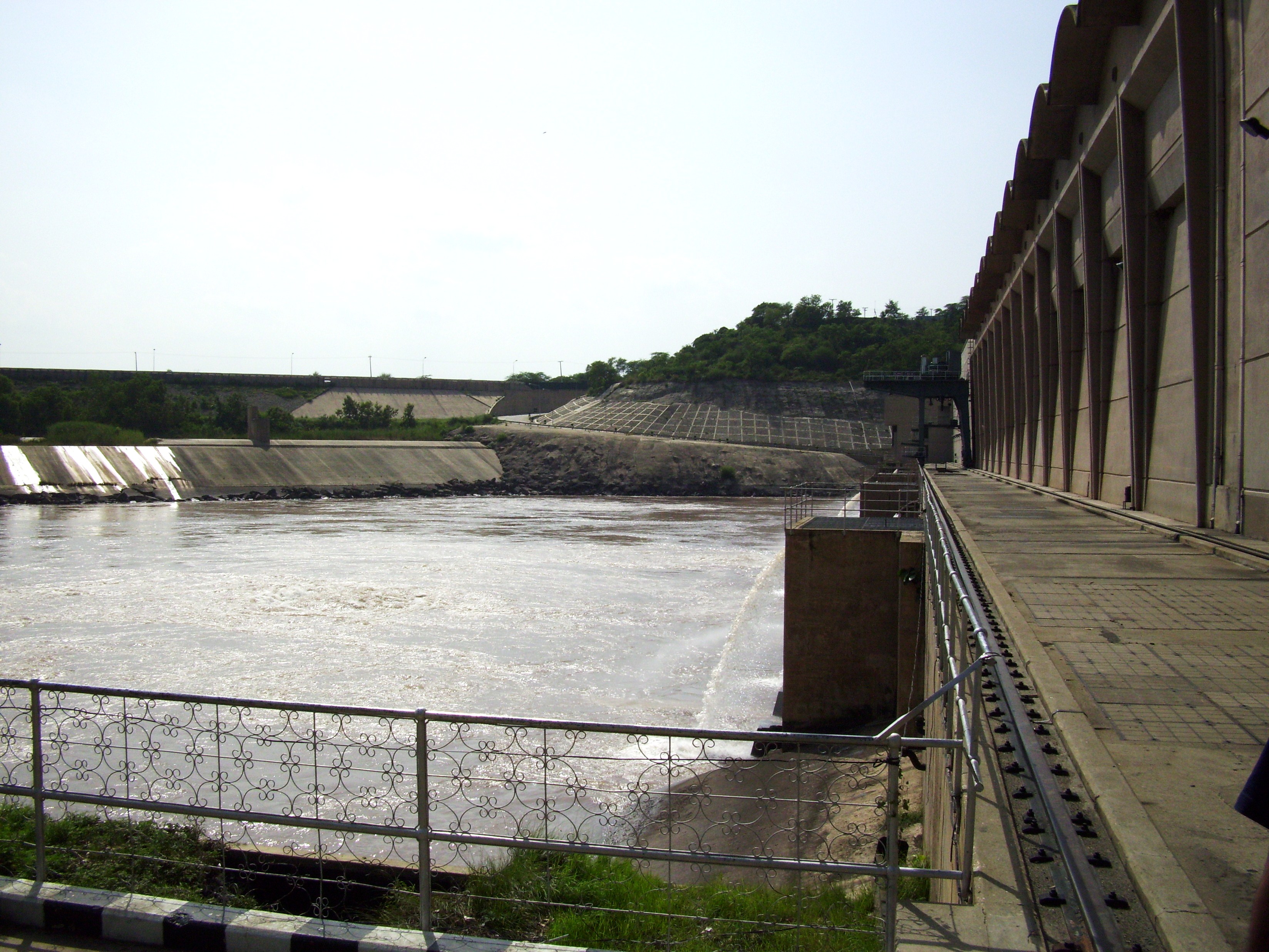
Mangla Dam is the twelfth largest dam in the world. It was constructed in 1967 across the Jhelum River, about 67 miles (108 km) south-east of the Pakistani capital, Islamabad in Mirpur District of Azad Kashmir, Pakistan. The main structures of the dam include 4 embankment dams, 2 spillways, 5 power-cum-irrigation tunnels and a 1,000 MW power station.[citation needed]
 Rear View of the Powerhouse at Mangla Dam
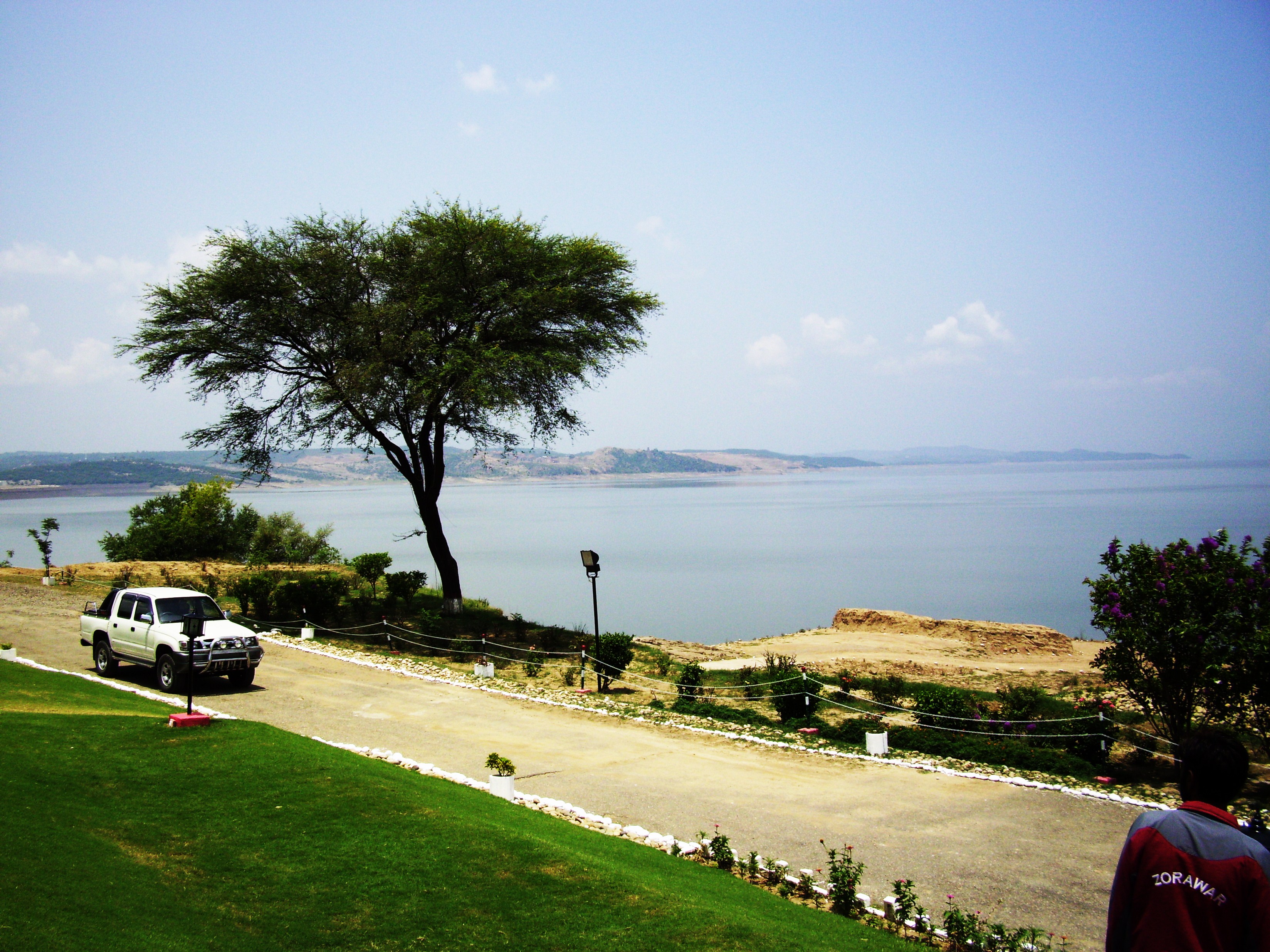
The main dam is 10,300 feet (3,100 m) long and 454 feet (138 m) high (above core trench) with a reservoir of 97 square miles (250 km2). Since its first impounding in 1967, sedimentation has occurred to the extent of 1,130,000 acre feet (1.39 km3), and the present gross storage capacity has declined to 4,750,000 acre feet (5.86 km3) from the actual design of 5,880,000 acre feet (7.25 km3). The live capacity has declined to 4,580,000 acre feet (5.65 km3) from 5,340,000 acre feet (6.59 km3). This implies a reduction of 19.22% in the capacity of the dam.[citation needed]
The power station of Mangla dam consists of 10 units each having capacity of 100 MW.[citation needed]
In order to remedy the storage capacity decreases, the Pakistani government has decided to raise the dam by 40 feet (12 m), to 494 feet (151 m) high. This will increase the reservoir capacity by 18% and provide an additional 644 MW of power, but will displace 40,000 people currently living near the reservoir.[citation needed]
The project was designed primarily to increase the amount of water that could be used for irrigation from the flow of the Jhelum and its tributaries. Its secondary function was to generate electrical power from the irrigation releases at the artificial head of the reservoir. The project was not designed as a flood control structure, although some benefit in this respect also arises from its use for irrigation and water supply. The Government of Pakistan had agreed to pay royalties to the Government of AJK (Azad Jammu and Kashmir) for the use of the water and electricity generated by the dam. Over 280 villages and the towns of Mirpur and Dadyal were submerged and over 110,000 people were displaced from the area as a result of the dam being built. Some of those affected by the dam were given work permits for Britain by the Government of Pakistan, and as a result, in many cities in the UK the majority of the 'Pakistani' community actually originated from the Dadyal-Mirpur area of the disputed region of Jammu & Kashmir.[citation needed]
The Mangla dam is expected to irrigate three million acres of farmland.[6]
See also
- List of dams and reservoirs in Pakistan
- List of barrages and headworks in Pakistan
References
- ^ Pakistan Water Gateway
- ^ Alvi, Hamid. "Two Years of Mangla Dam Project." Trade and Industry: The International Monthly Economic Journal of Pakistan. Spec. issue on Mangla Dam VIII.5 (1964): 633.
- ^ "Tarabela Dam". www.structurae.de. http://en.structurae.de/structures/data/index.cfm?ID=s0003769. Retrieved 2007-07-09.
- ^ "Indus Basin Project". Encyclopedia Britannica. http://www.britannica.com/eb/topic-286834/Indus-Basin-project. Retrieved 2007-07-09.
- ^ "Hunter". Global Security.org. http://www.globalsecurity.org/military/world/europe/hunter.htm. Retrieved 2007-07-09.
- ^ "Pakistani salute to water control". Life magazine 1967 Dec 8. p. 44-45. [1]
External links
Pakistani Water Locks Indus River Tarbela Dam · Jinnah Barrage · Chashma Barrage · Taunsa Barrage · Guddu Barrage · Sukkur Barrage · Kotri BarrageJhelum River Mangla Dam · Rasul Barrage · Trimmu BarrageChenab River Ravi River Balloki Headworks · Sidhnai HeadworksSutlej River Sulemanki Headworks · Islam BarragePanjnad River Panjnad BarrageSwat River Kabul River Warsak DamGomal River Dasht River Hub River Irrigation LocksCategories:- Jhelum
- Mirpur District
- Dams in Pakistan
- Hydroelectric power stations in Pakistan

Wikimedia Foundation. 2010.