- Kelseyville, California
Infobox Settlement
official_name = Kelseyville, California
imagesize =
image_caption =
image_

settlement_type = CDP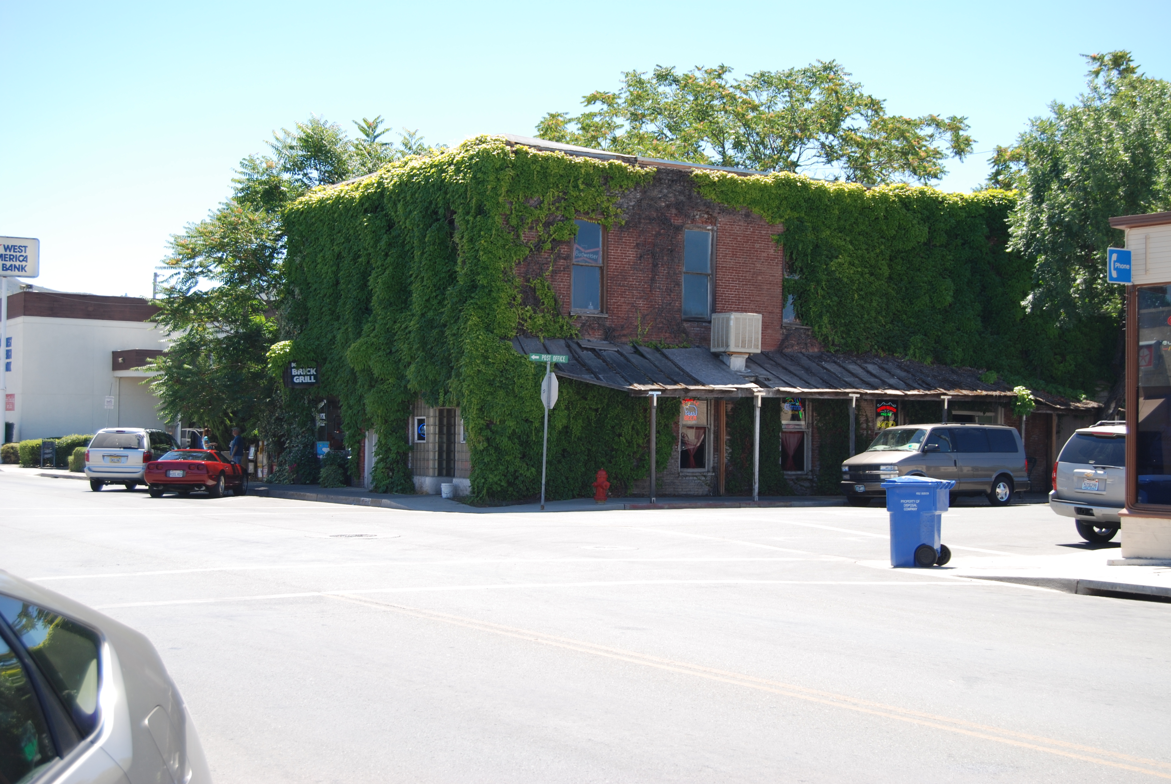
image_size = 250px
image_caption = Downtown Kelseyville, California
mapsize = 250x200px
map_caption = Location in Lake County and the state ofCalifornia
mapsize1 =
map_caption1 =
subdivision_type = Country
subdivision_type1 = State
subdivision_type2 = County
subdivision_name =United States
subdivision_name1 =California
subdivision_name2 = Lake
government_type =
leader_title =
leader_name =
established_date =
area_magnitude =
area_total_km2 = 8.4
area_total_sq_mi = 3.2
area_land_km2 = 8.4
area_land_sq_mi = 3.2
area_water_km2 = 0
area_water_sq_mi = 0
elevation_ft = 1385
elevation_m = 422
population_as_of = 2000
population_footnotes =
population_total = 2928
population_metro =
population_density_km2 = 348.6
population_density_sq_mi = 915
timezone = Pacific (PST)
utc_offset = -8
latd = 38 |latm = 58 |lats = 21 |latNS = N
longd = 122 |longm = 49 |longs = 53 |longEW = W
timezone_DST = PDT
utc_offset_DST = -7
postal_code_type =ZIP code
postal_code = 95451
area_code = 707
blank_name = FIPS code
blank_info = 06-38044
blank1_name = GNIS feature ID
blank1_info = 0277532
footnotes =
website = www.estatevideos.com/loconomiroad.htmKelseyville is a
census-designated place (CDP) in Lake County,California ,United States . The population was 2,928 at the 2000 census.Geography
According to the
United States Census Bureau , the CDP has a total area of 3.2square mile s (8.4km² ), all of it land.The community also includes the Soda Bay and Riviera Heights neighborhoods, located on the northern slope of
Mt. Konocti .Demographics
As of the
census GR|2 of 2000, there were 2,928 people, 1,095 households, and 724 families residing in the CDP. Thepopulation density was 905.5 people per square mile (350.0/km²). There were 1,175 housing units at an average density of 363.4/sq mi (140.5/km²). The racial makeup of the CDP was 76.98% White, 0.14% Black or African American, 2.66% Native American, 0.89% Asian, 14.58% from other races, and 4.75% from two or more races. 28.76% of the population were Hispanic or Latino of any race.There were 1,095 households out of which 33.7% had children under the age of 18 living with them, 46.9% were married couples living together, 14.8% had a female householder with no husband present, and 33.8% were non-families. 27.6% of all households were made up of individuals and 15.8% had someone living alone who was 65 years of age or older. The average household size was 2.66 and the average family size was 3.24.
In the CDP the population was spread out with 28.4% under the age of 18, 7.5% from 18 to 24, 26.7% from 25 to 44, 20.6% from 45 to 64, and 16.8% who were 65 years of age or older. The median age was 37 years. For every 100 females there were 98.0 males. For every 100 females age 18 and over, there were 93.8 males.
The median income for a household in the CDP was $24,363, and the median income for a family was $28,958. Males had a median income of $26,758 versus $20,036 for females. The
per capita income for the CDP was $15,651. About 12.8% of families and 15.3% of the population were below thepoverty line , including 17.7% of those under age 18 and 11.1% of those age 65 or over.Politics
In the state legislature Kelseyville is located in the 2nd Senate District, represented by Democrat
Pat Wiggins , and in the 1st Assembly District, represented by Democrat Patty Berg. Federally, Kelseyville is located inCalifornia's 1st congressional district , which has a Cook PVI of D +10 [cite web | title = Will Gerrymandered Districts Stem the Wave of Voter Unrest? | publisher = Campaign Legal Center Blog | url=http://www.clcblog.org/blog_item-85.html | accessdate = 2007-10-20] and is represented by DemocratMike Thompson .References
External links
[http://california.hometownlocator.com/CA/Lake/Kelseyville.cfm Community profile]
Wikimedia Foundation. 2010.