- Duitama
-
Duitama Duitama Center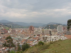

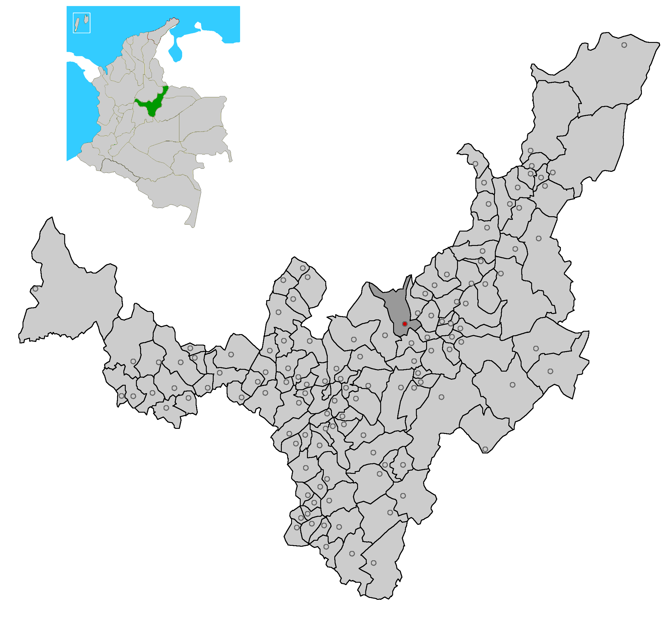
FlagNickname(s): Perla de Boyaca (The Pearl of Boyaca) Location of the town and municipality of Duitama in Boyacá Department.
Country  Colombia
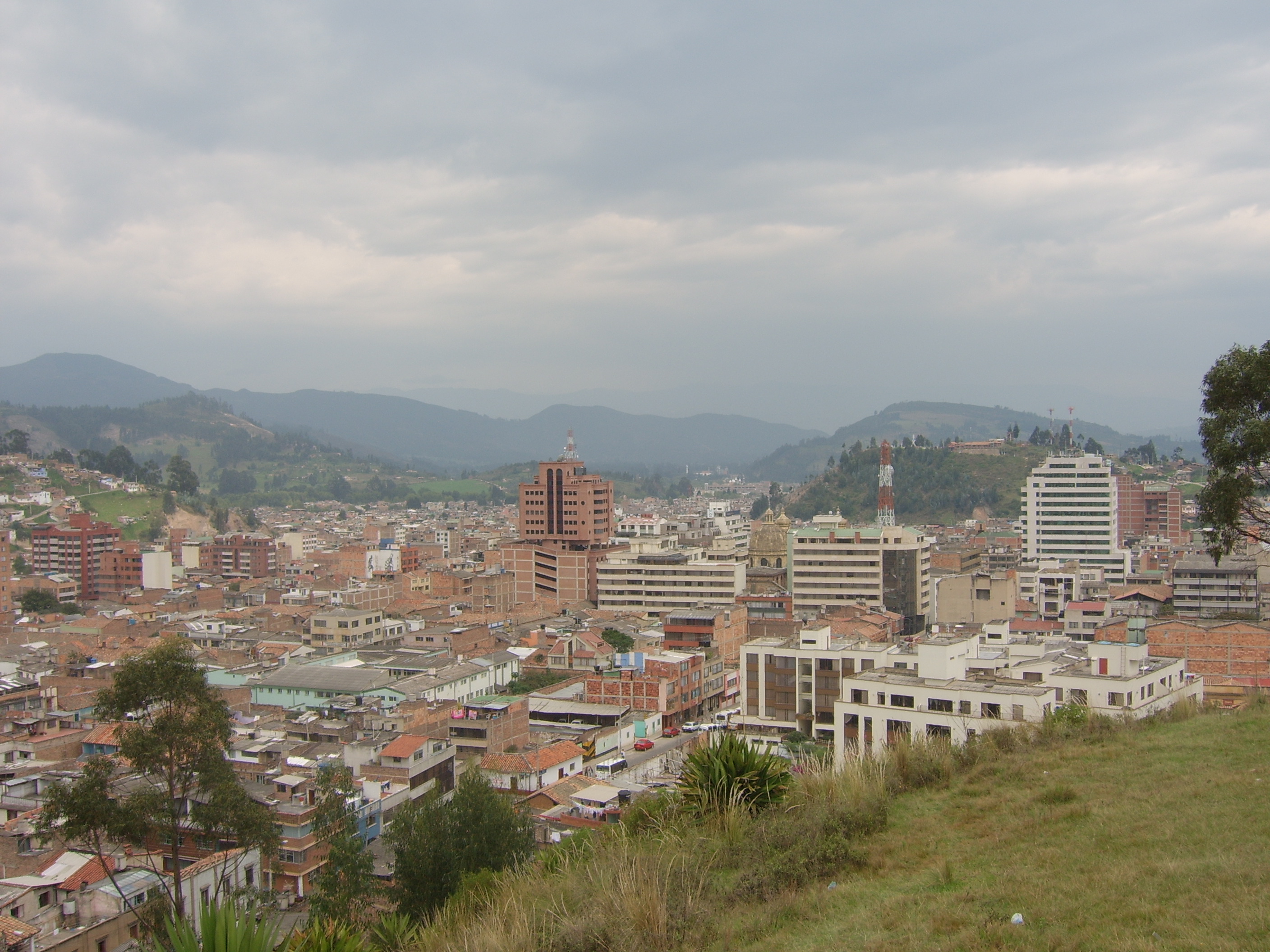
Department Boyacá Province Tundama Province Founded 1556 - 1775 (Doctrinal Center) Established July 27, 1819 Government - Type Municipality - Mayor Francklyn Alfredo Rincon Galvis [1] Area - Total 186 km2 (71.8 sq mi) Elevation 2,530 m (8,301 ft) Population (2007) - Total 120,000 - Density 645.1/km2 (1,670.8/sq mi) *Census of the population in Duitama[2] Website http://www.duitama.gov.co Duitama (Spanish pronunciation: [dwiˈtama]) is a city and municipality in Boyacá Department, part of the Tundama Province, a subregion of Boyaca, Colombia. It is located some 170 kilometres northeast of Bogotá, the capital city of Colombia and 55 kilometres northest of Tunja, the capital city of Boyaca. Duitama has existed since pre-Columbian times. According to the local oral tradition, the city was founded by the Muisca Chief Tundama. The city has a population of about 120,000 people. The elevation of the city is around 2,532 m above sea level and the average temperature is 18°C (65°F). Duitama is known as "The Pearl of Boyacá".
Contents
History
Pre-Columbian
See also: MuiscaThe same as the European countries, the muiscas had an established political society[3]; they also had religious beliefs, and an established economic system.
Before the discovery of America, Tundama (Duitama) was governed by the cacique Tundama. Nemequene (the Zaque) was the leader of the "north" and his establishment was Hunza (Tunja). Though the Zaque was considered the king of the north (where Duitama is located), he did not have absolute control over the population. He was, however, considered a person of great power and a holy man.
International events
Duitama was the second city in Latin America to host the UCI Road World Championships. The first city to host that event was San Cristobal, Venezuela in 1977.
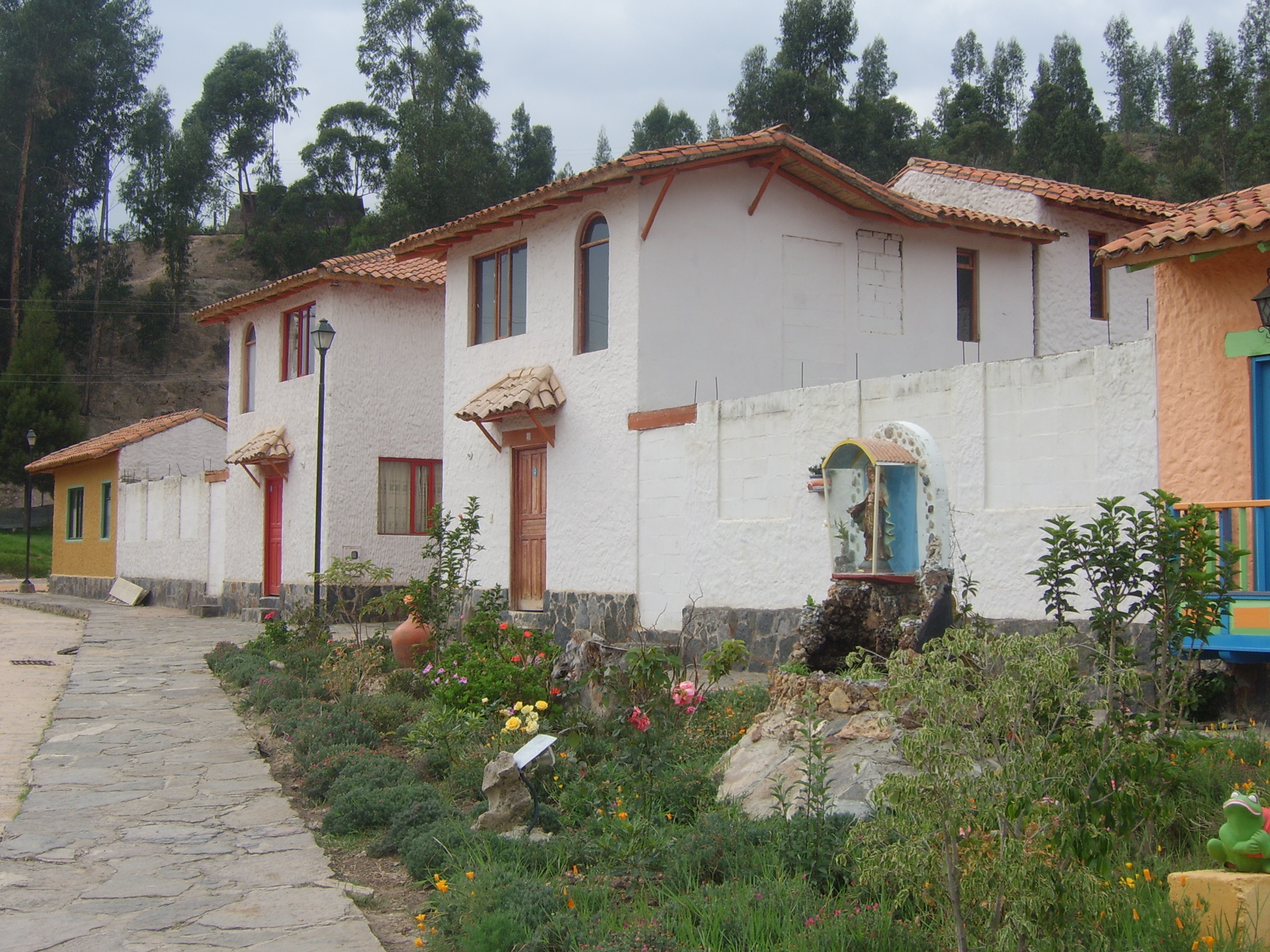
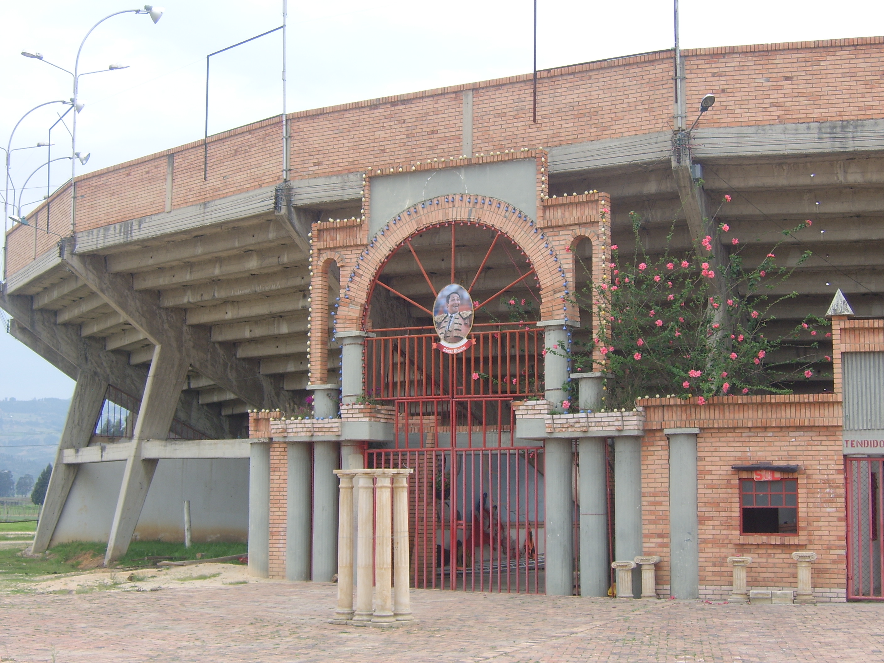
Gallery
-
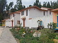
"Pueblito Boyacense"
-
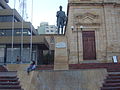
Simón Bolívar (Plaza Libertadores)
External links
Provinces and Municipalities in Boyacá Department 
Central Boyacá Province Northern Boyacá Province Western Boyacá Province Briceño • Buenavista • Caldas • Chiquinquirá • Coper • La Victoria • Maripí • Muzo • Otanche • Pauna • Quipama • Saboyá • San Miguel de Sema • San Pablo de Borbur • TununguáEastern Boyacá Province Gutiérrez Province La Libertad Province Lengupá Province Márquez Province Neira Province Ricaurte Province Arcabuco • Chitaraque • Gachantivá • Moniquirá • Ráquira • Sáchica • San José de Pare • Santa Sofía • Santana • Sutamarchán • Tinjacá • Togüí • Villa de LeyvaSugamuxi Province Tundama Province Valderrama Province Boyacá Frontier District Boyacá Special Handling Zone See also: List of municipalities in BoyacáCoordinates: 5°50′N 73°01′W / 5.833°N 73.017°W
Categories:- Municipalities of Boyacá
- Populated places in the Boyacá Department
- Boyacá Department geography stubs
-


Wikimedia Foundation. 2010.