- Motavita
-
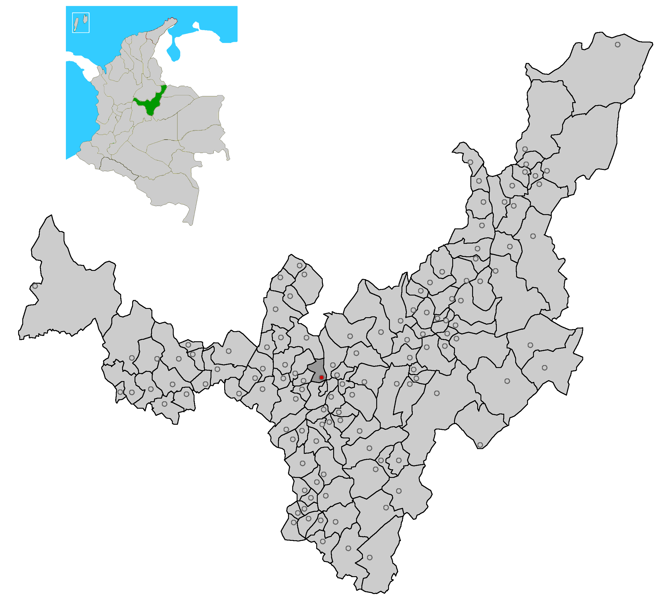
Motavita — Municipality and town — Location of the municipality and town of Motavita in the Boyacá Department of Colombia.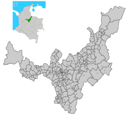
Country  Colombia
Department Boyacá Department Province Central Boyacá Province Time zone Colombia Standard Time (UTC-5) Motavita is a town and municipality in the Colombian Department of Boyacá, part of the subregion of the Central Boyacá Province.
Provinces and Municipalities in Boyacá Department 
Central Boyacá Province Northern Boyacá Province Western Boyacá Province Briceño • Buenavista • Caldas • Chiquinquirá • Coper • La Victoria • Maripí • Muzo • Otanche • Pauna • Quipama • Saboyá • San Miguel de Sema • San Pablo de Borbur • TununguáEastern Boyacá Province Gutiérrez Province La Libertad Province Lengupá Province Márquez Province Neira Province Ricaurte Province Arcabuco • Chitaraque • Gachantivá • Moniquirá • Ráquira • Sáchica • San José de Pare • Santa Sofía • Santana • Sutamarchán • Tinjacá • Togüí • Villa de LeyvaSugamuxi Province Tundama Province Valderrama Province Boyacá Frontier District Boyacá Special Handling Zone See also: List of municipalities in BoyacáCoordinates: 5°35′N 73°22′W / 5.583°N 73.367°W
Categories:- Municipalities of Boyacá
- Populated places in the Boyacá Department
- Boyacá Department geography stubs
Wikimedia Foundation. 2010.