- Soatá, Boyacá
Infobox City
official_name = Soatá
other_name =
nickname =
motto =
image_caption = View of Soatá
image_shield = Coat_of_arms_of_Soata.png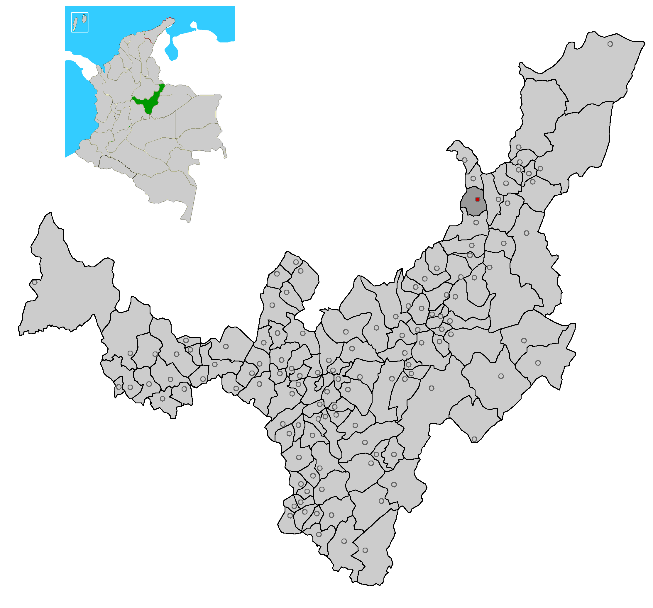
map_size = 250px
map_caption = Location of the town and municipality of Soata in Boyacá Department.
subdivision_type =Country
subdivision_name =Colombia
subdivision_type1 = Department
subdivision_name1 = Boyacá
subdivision_type2 = Province
subdivision_name2 =Northern Boyacá Province
government_type = Municipality
leader_title =Mayor
leader_name = Luis Fernando Manrique Osorio
established_title = Founded
established_date =December 10 ,1495
established_title2 = Established
established_date2 =December 10 ,1495
area_magnitude =
area_total_km2 = 111
area_land_km2 =
area_water_km2 =
area_water_percent =
area_urban_km2 =
area_metro_km2 =
population_as_of = [http://www.dane.gov.co/files/censo2005/regiones/boyaca/soata.pdf DANE]2005
population_note =
population_total = 8730
population_density_km2 = 78.65
latd=6 |latm=20|lats=20 |latNS=N
longd=72 |longm=40 |longs=0 |longEW=W
elevation_m = 1950
area_code =
website = http://www.soata.gov.co
footnotes =Soatá is a town and municipality in
Boyacá Department ,Colombia . Soatá is located on the western slopes of theCordillera Oriental mountain range, at the northeast end of the Department of Boyacá. It is the capital the subregion of theNorthern Boyacá Province .History
The Soatá term in Chibcha language means "farming of the sun". Its inhabitants came from the mix of chibchas, Caribbean and choques. Soatá was founded by sergeant
Juan Rodriguez Parra in 1545 and established as municipality the 10 of December of 1495.Demographics and Geography
Soatá has a population of approximately 8.730 (General Census 2005 [http://www.dane.gov.co/files/censo2005/perfiles/boyaca/soata.pdf DANE] ) on who 63% live in the urban zone and 47% live in the eight paths that compose the Rural area. Its inhabitants in their majority are rural men. Its paths are: Los Molinos, La Laguna, Llano Grande, El Espinal, La Chorrera.It has an elevation of 1.950 meters above sea level.
Economy
Its economy is of subsistence and it characterizes by agriculture and the cattle ranch in form of minifundios, standing out the cultures of the sugar cane, coffee, tobacco, tomato, maize, wheat, barley, Pope, fruit trees, datil's and flowers.
The cattle sector is distinguished by the presence of goat, pig, bovine and ovine.
In the industrial sector, one stands out the production of the brick, floor's pieces, canvas shoes, hats of straw, panela and honey of bees; it excels the elaboration of candies and treats, predominating the processing of the datil, activity has conferred him title of " city of the datil palm of Colombia ".
Soatá, counts on tourist potential by the wealth of its cultural expressions, standing out its gastronomy, natural variety of landscapes and scenic places.
ites of interest
Other touristics sites are:
*Pinzón Bridge
*El ChorroImportant personages
* Laura Victoria
* Cayo Leonidas PeñuelaFestivals
* Our Lady of Mount Carmel Festival
* Fairs and Festivals of Soatá
* Torbellino's FestivalExternal links
* [http://www.soata.gov.co/ Web Site]
* [http://www.soata-boyaca.gov.co/ Web Site]
* [http://www.esesoata.gov.co/ Saint Anthony Hospital]
* [http://misoata.spaces.live.com/ Soata's Space]
* [http://soata-boyaca.blogspot.com/ Soatá 460 years]
* [http://www.esesoata.gov.co/main.php?funcion=rh_municipio1.htm History]
Wikimedia Foundation. 2010.