- Chivor
-
Chivor 
FlagCoat of arms of Chivor
Coat of armsLocation of the town and municipality of Tunja in Boyacá Department. Location in Colombia
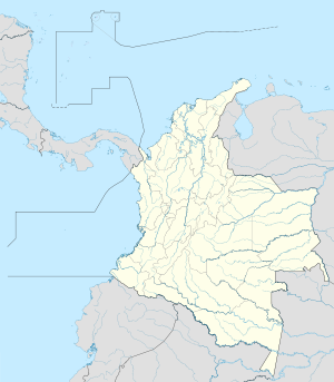
 Chivor
Coordinates: 4°53′N 73°22′W / 4.883°N 73.367°WCoordinates: 4°53′N 73°22′W / 4.883°N 73.367°W Country  Colombia
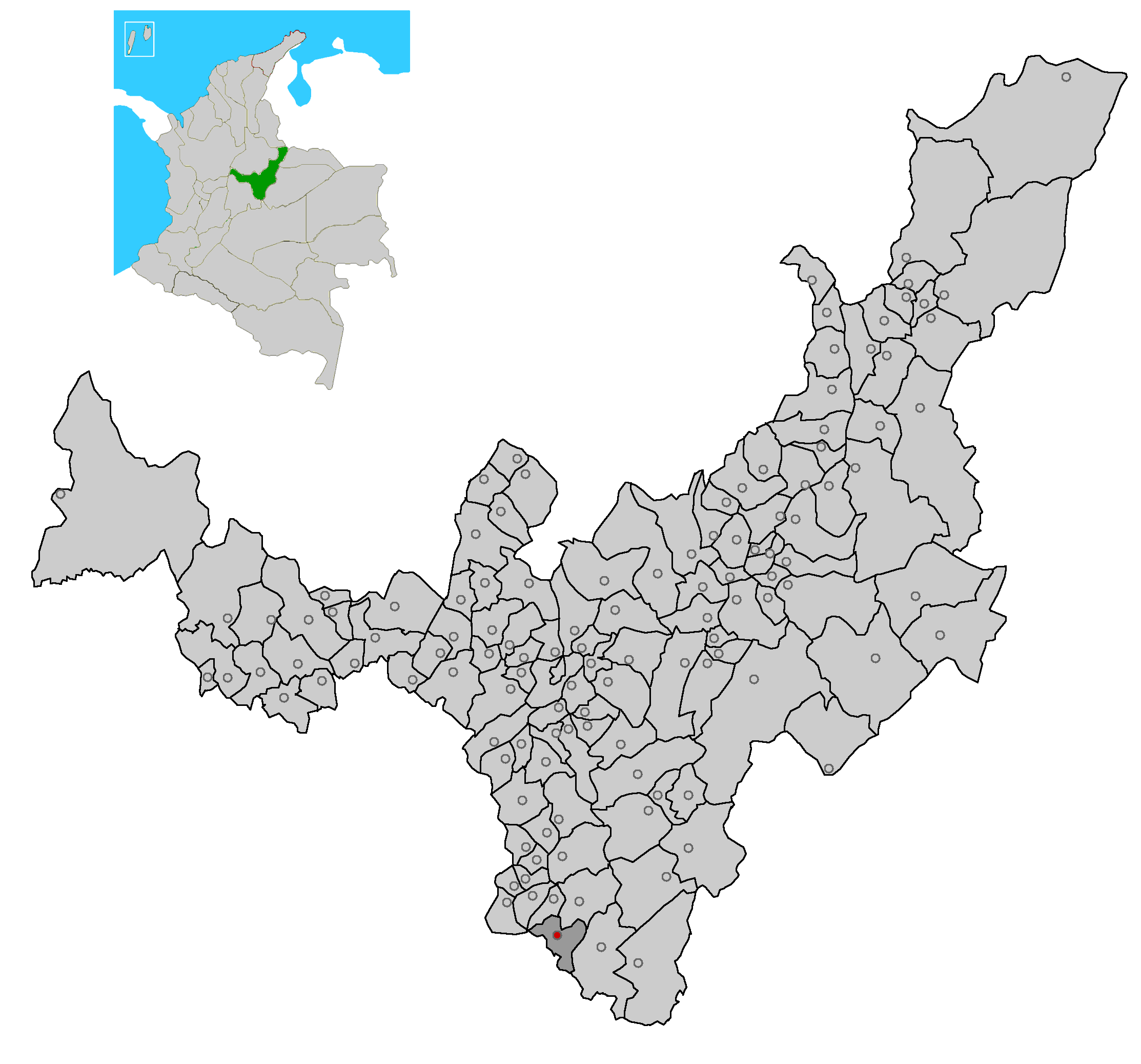
Department Boyacá Province Eastern Boyacá Province Government - Type Municipality - Mayor Nestor Antonio Sánchez Cruz Area - Total 103 km2 (39.8 sq mi) Elevation 1,803 m (5,915 ft) Population (2005) - Total 2,126 - Density 20.6/km2 (53.4/sq mi) Website http://chivor-boyaca.gov.co/ Chivor is a town and municipality in the Colombian Department of Boyacá, part of the subregion of the Eastern Boyacá Province.Currently has 2126 inhabitants and has a temperature of 18°C.
Bordered to the north with the Municipality of Macanal; to the south with the Department of Cundinamarca, on the east with the Municipality of Santa María, and the west by the Municipality of Almeida.
Provinces and Municipalities in Boyacá Department 
Central Boyacá Province Northern Boyacá Province Western Boyacá Province Briceño • Buenavista • Caldas • Chiquinquirá • Coper • La Victoria • Maripí • Muzo • Otanche • Pauna • Quipama • Saboyá • San Miguel de Sema • San Pablo de Borbur • TununguáEastern Boyacá Province Gutiérrez Province La Libertad Province Lengupá Province Márquez Province Neira Province Ricaurte Province Arcabuco • Chitaraque • Gachantivá • Moniquirá • Ráquira • Sáchica • San José de Pare • Santa Sofía • Santana • Sutamarchán • Tinjacá • Togüí • Villa de LeyvaSugamuxi Province Tundama Province Valderrama Province Boyacá Frontier District Boyacá Special Handling Zone See also: List of municipalities in BoyacáCategories:- Municipalities of Boyacá
- Populated places in the Boyacá Department
- Boyacá Department geography stubs

Wikimedia Foundation. 2010.