- Chu River
-
Chu River (Чу, Чүй, Шу) River 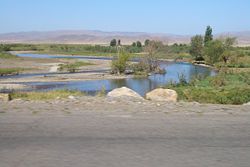 In the Chuy Valley below Tokmok
Countries Kyrgyzstan, Kazakhstan Tributaries - left Ala-Archa River, Kara-Balta River, Ysyk-Ata River, Alamudun River, Ak-Suu River - right Chong-Kemin River, Kichi-Kemin River Source confluence of Joon Aryk and Kochkor River - elevation 1,802 m (5,912 ft) - coordinates 42°13′15.60″N 75°44′29″E / 42.221°N 75.74139°E Mouth Akjaykyn system of lakes - elevation 135 m (443 ft) - coordinates 44°59′N 67°43′E / 44.983°N 67.717°E Length 1,067 km (663 mi) Basin 67,500 km2 (26,062 sq mi) "Chui River" redirects here. For the South American Chuí or Chuy River, on the Brazil-Uruguay border and Brazil's southernmost point, see Chuí River. For the Nam Sam River or Chu River, on the Lao-Vietnam border, see Nam Sam River.
The Chu (or Chui or Chuy) (Russian: Чу, Kyrgyz: Чүй, Kazakh: Шу) is a river in northern Kyrgyzstan and southern Kazakhstan. At approximately 663 miles (1067 km[1]) in length, it is one of the longest rivers in Kyrgyzstan.
Chuy Oblast, the northernmost and most populous administrative region of Kyrgyzstan, is named after the river; so are the Chuy Avenue, the main street of Bishkek, and the city of Shu in Kazakhstan's Zhambyl Province.
Contents
Course
The Chu River is formed by the confluence of rivers Joon Aryk and Kochkor in Kochkor District of Naryn Province. After approaching lake Issyk Kul within a few kilometers (near Balykchy), without either flowing into the lake or draining it, it turns to the northwest. After passing through the narrow Boom Gorge (Russian: Боомское ущелье), it enters the comparatively flat Chuy Valley, within which the Kyrgyz capital of Bishkek and the Kazakh city of Shu are located. Much of the Chu's water is diverted into a network of canals to irrigate the fertile black soils of the Chuy Valley for farming, both on the Kyrgyz and Kazakh sides of the river.
As the Chu flows through the Chuy Valley, it forms the border between Kyrgyzstan and Kazakhstan for more than a hundred kilometers, but then it leaves Kyrgyzstan and flows into Kazakhstan, where, like many other rivers and streams that drain northern Kyrgyzstan it eventually disappears in the steppe, short of reaching the Syr Darya, of which it would drain to during wet years.
History
The area of this river was originally home to the Iranian Sughds who spoke Soghdian, an East Iranian language.[2]
During the Middle Ages, the area was strategically important. It was the setting of Suayub, the capital of the Western Turkic Khaganate, and Balasagun, the capital of the Kara-Khitans.
Chu River posed a risk of flooding for settlements located in Chu Valley. In winter 1878, an ice gorge formed on Chu River upstream town Tokmok that was the center of Semirechye Province. This was followed by severe flooding that damaged the town and the center of the province was moved in Pishpek (Bishkek). After this, Tokmak gradually lost its significance.[3]
Ecology and Environment
Environmental monitoring
The Kyrgyz State Agency on Hydrometeorology and Kazakhstan Hydrometeorological Service (Kazhydromet) operate a number of water quality monitoring stations on the Chu River and its tributaries.[4]
Water quality
According to Kyrgyz State Agency on Hydrometeorology, in 2004-2008, water pollution index of the Chu River in Chu Valley ranged from 0.25 to 0.7 units that is interpreted as Class II ("Clean water"). The only exception was a monitoring point downstream Vasilyevka village where water pollution index ranged from 0.4 to 1.2 unit and water quality was assessed as Class II(Clean)/Class III ("Moderately polluted").[4]
According to Kazakhstan Hydrometeorological Service (Kazhydromet), water pollution index of Shu (Chu) River in Jambyl Province of Kazakhstan amounted to 2.01 (Class III, "Moderately polluted") in 2008, and 1.83 (Class III, "Moderately polluted") in 2009. Such water quality parameters as biochemical oxygen demand, nitrites, copper, phenols exceeded the maximum allowable concentrations.[5]
Major tributaries
In Kyrgyzstan, 4892 rivers and canals flow into Chu River.[6] The list of the major tributaries include:
- Chong-Kemin River
- Kichi-Kemin River
- Kara-Konuz River
- Shamshy River
- Ysyk-Ata River
- Alamudun River
- Ala-Archa River
- Jylamysh River
- Ak-Suu River
- Kara-Balta River
Gallery
-
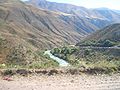
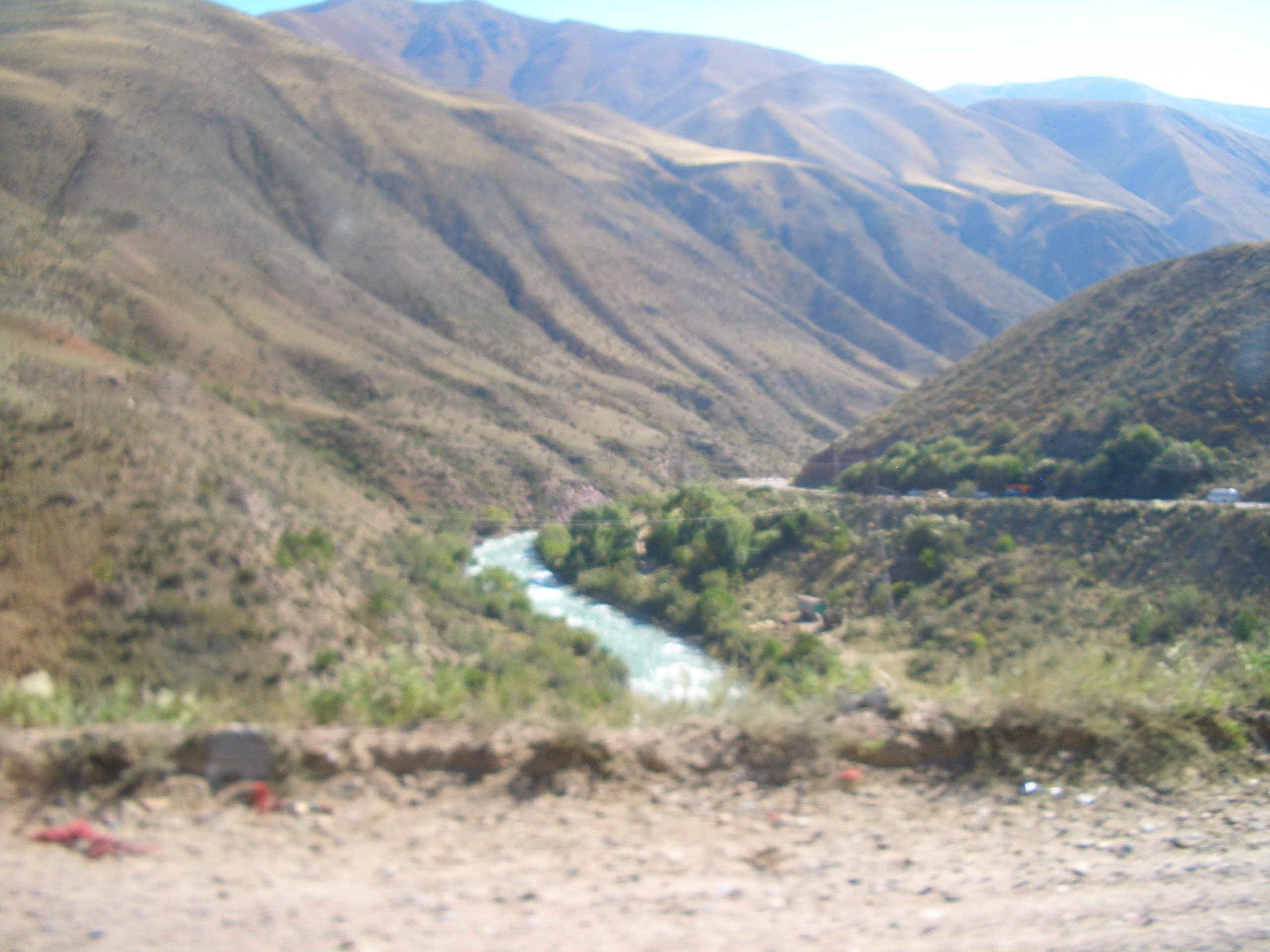
In the Boom Gorge
-
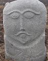
A medieval balbal near Burana Tower in the Chuy Valley
-

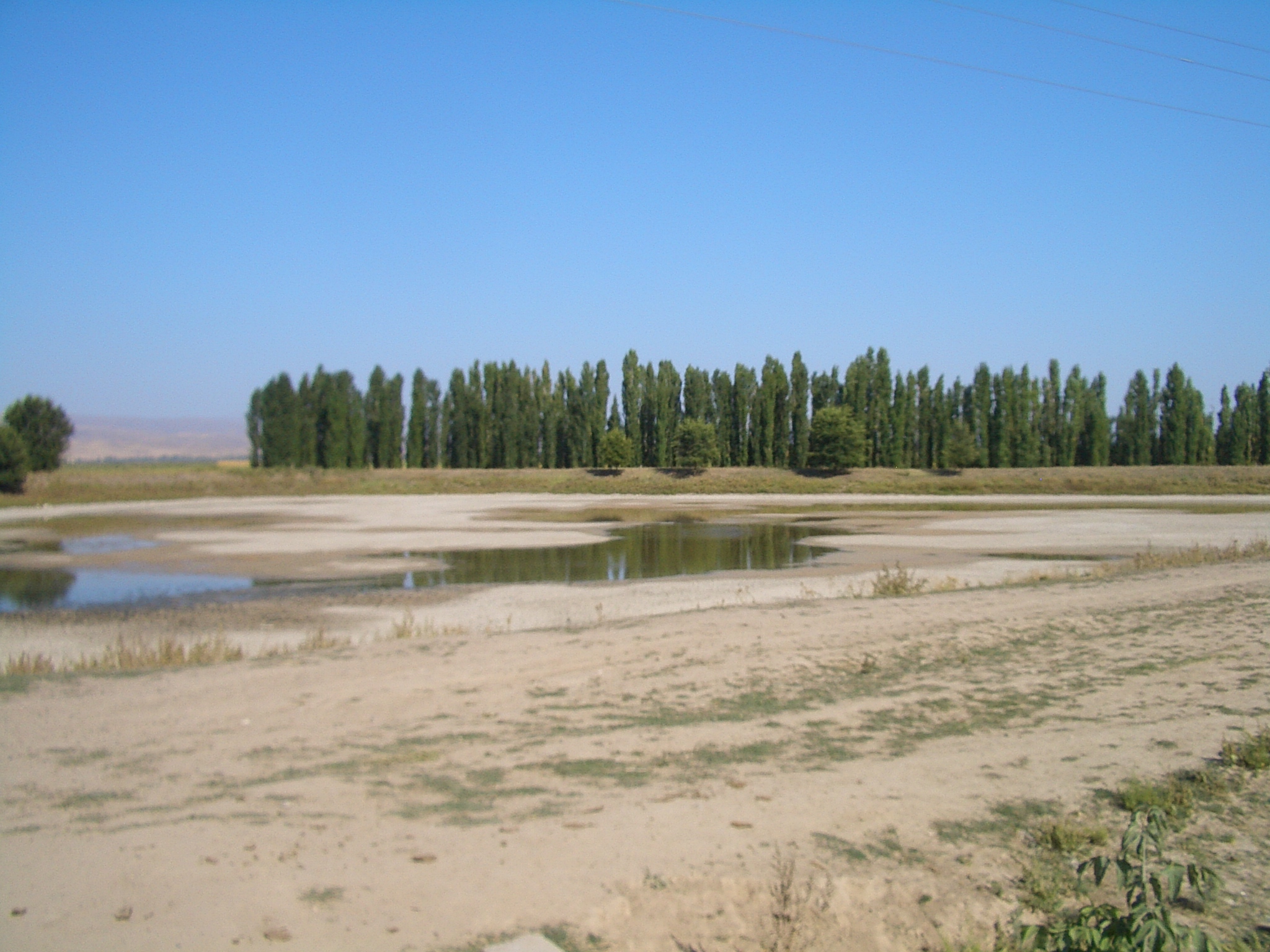
In the Chuy Valley near Milyanfan
-

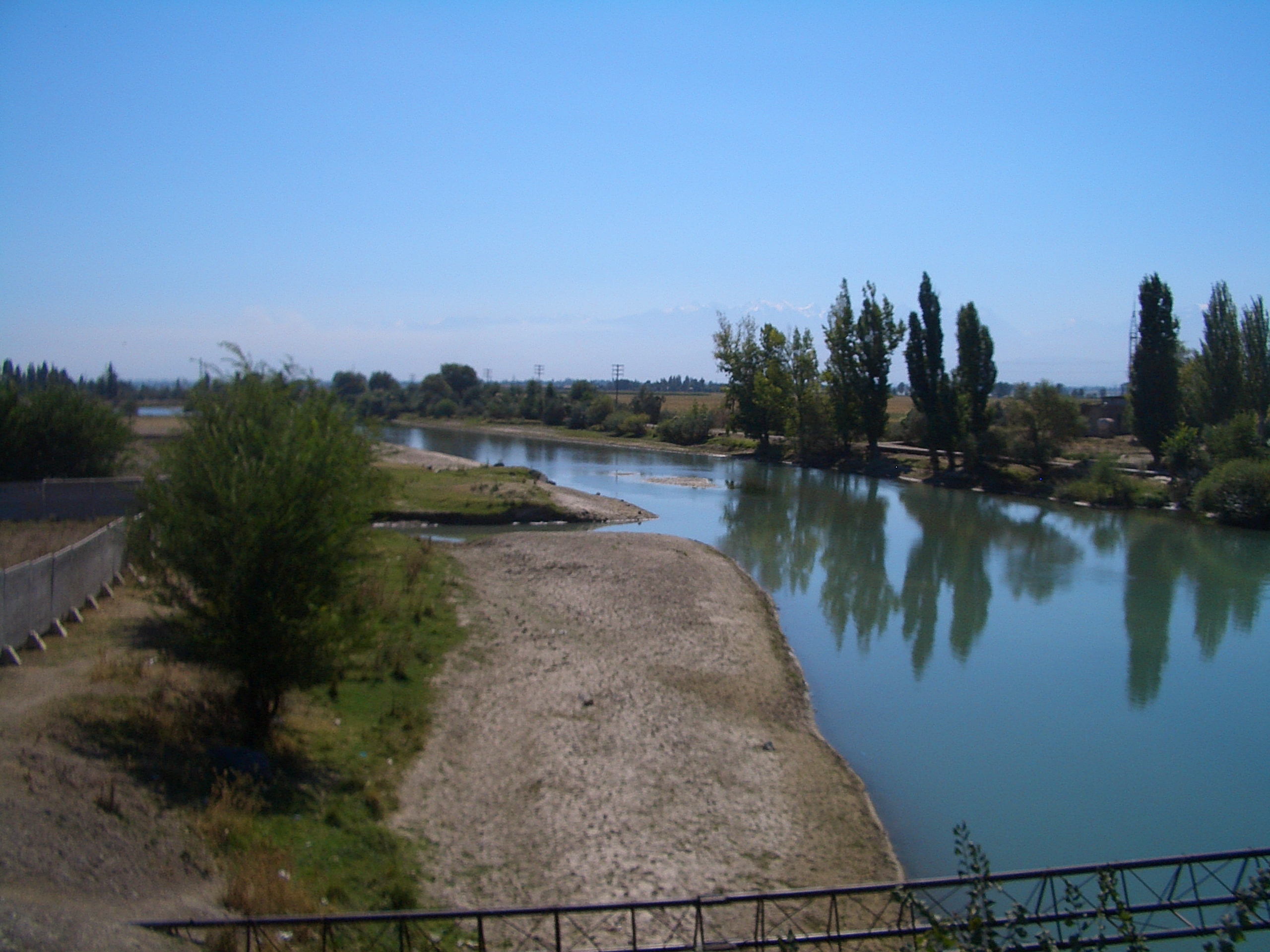
Near Korday border crossing
-
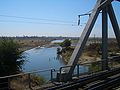
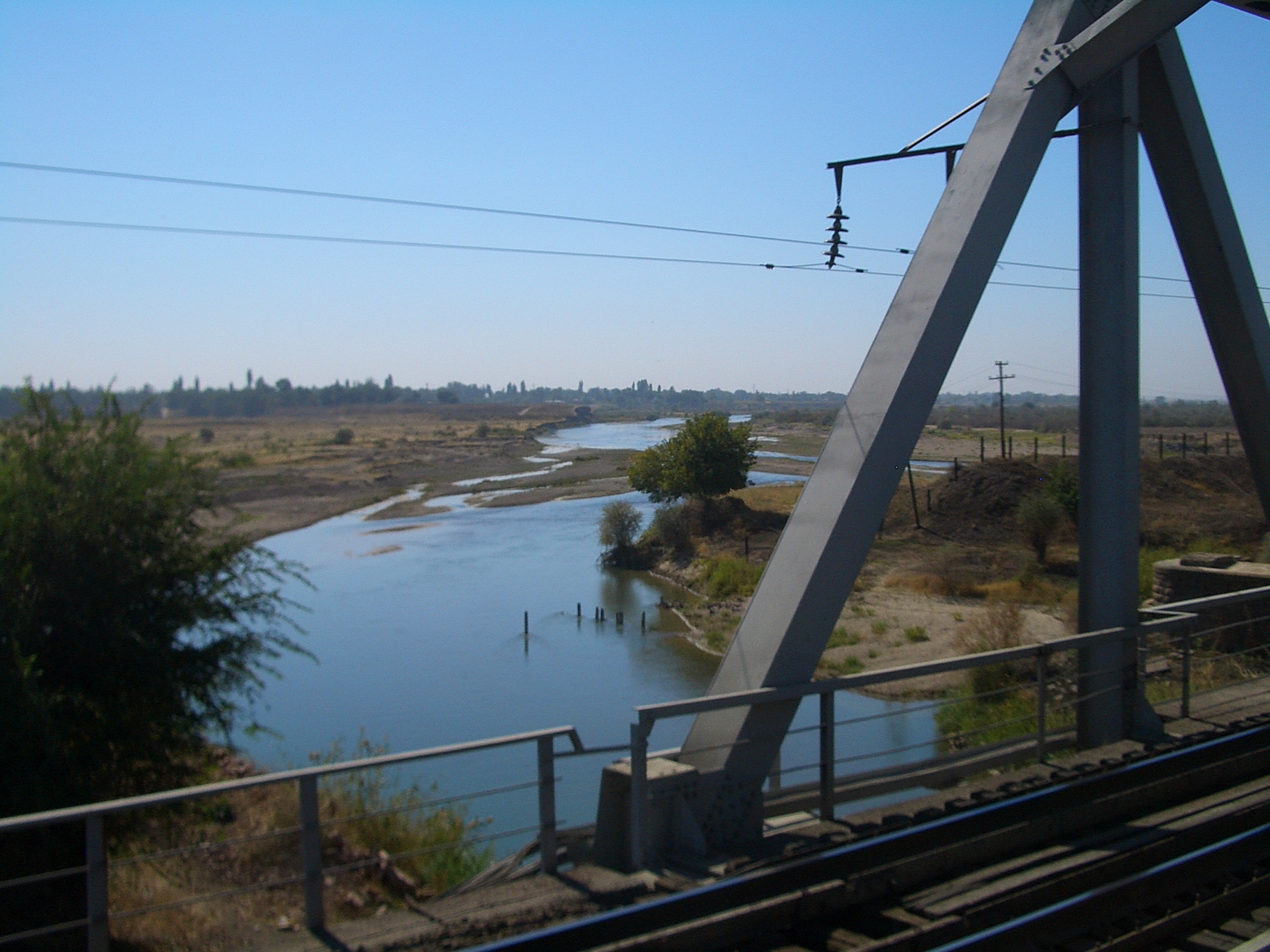
Near Shu, Kazakhstan
References
- ^ Great Soviet Encyclopedia
- ^ Barthold, W.. "Balāsāg̲h̲ūn or Balāsaḳūn." Encyclopaedia of Islam.. Brill Online. UNIVERSITEITSBIBLIOTHEEK LEIDEN: Brill Academic Publishers. http://www.brillonline.nl/subscriber/entry?entry=islam_SIM-1131.
- ^ "Profile of town Tokmok (in Russian)". http://www.citykr.kg/tokmok.php#ser1. Retrieved 2010-03-10.
- ^ a b "Kyrgyz State Agency on Hydrometeorology: water quality". http://www.meteo.ktnet.kg/unzps/unzps_voda_arch.php. Retrieved 2010-03-10.
- ^ Information Bulletin on Status of the Environment in the Republic of Kazakhstan in 2009 (Report). Ministry of Environment Protection of the Republic of Kazakhstan. 2010. http://www.eco.gov.kz/ekolog/buleten/bul_2009.rar.
- ^ (in Kyrgyz and Russian) Чүй облусу:Энциклопедия [Encyclopedia of Chuy Oblast]. Bishkek: Chief Editorial Board of Kyrgyz Encyclopedia. 1994. pp. 718. ISBN 5897500835.
 Rivers of Kazakhstan
Rivers Ajaguz River • Akan-Burluk River • Arys River • Asa River • Aschiagar River • Ayat River • Badam River • Bolshoy Uzen River • Borolday River • Bugun River • Bukhtarma River • Byan River • Charyn River • Chu River • Emba River • Ilek River • Iman-Burluk River • Irgiz River • Ili River • Irtysh River • Ishim River • Kapal River • Karatal River • Kigach River • Keles River • Koksu River • Koluton River • Kurchum River • Lukina River • Narym River • Nura River • O River • Sarisu River • Sytasty River • Syr Darya • Talas River • Tersakkan River • Tobol River • Tuolba River • Turgai River • Ural River • Uba River • Ubagan River • Ulba River Rivers of KyrgyzstanAla-Archa River • Alabuga River • At-Bashi River • Chatkal River • Chong-Kemin River • Chu River • Joon Aryk • Jyrgalan River • Kara Darya • Kara-Suu • Kegart River • Kichi-Kemin River • Kochkor River • Kurshab River • Naryn River • On Archa River • Sokh River • Talas River • Tar River (Kyrgyzstan) • Toshkan River • Vakhsh River • Ysyk-Ata RiverCategories:
- Rivers of Kyrgyzstan
- Rivers of Kazakhstan
- Issyk Kul Province
- Chuy Province
- Zhambyl Province
- Kazakhstan–Kyrgyzstan border
- International rivers of Asia


Wikimedia Foundation. 2010.