- Moose Pass, Alaska
-
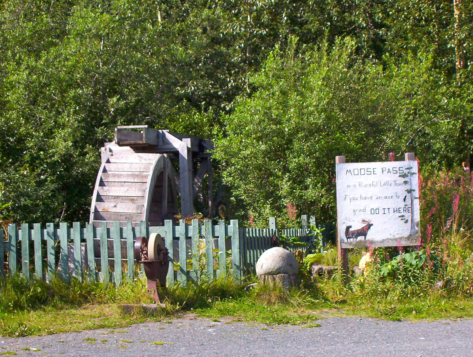
Moose Pass, Alaska — CDP — Water wheel and grindstone by side of Seward Highway. The sign reads: "Moose Pass is a peacful little town, if you have an axe to grind, do it here." Location of Moose Pass, Alaska
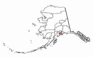
Coordinates: 60°29′16″N 149°22′15″W / 60.48778°N 149.37083°WCoordinates: 60°29′16″N 149°22′15″W / 60.48778°N 149.37083°W Country United States State Alaska Borough Kenai Peninsula Area - Total 18.1 sq mi (46.9 km2) - Land 18.0 sq mi (46.7 km2) - Water 0.1 sq mi (0.2 km2) Elevation 472 ft (144 m) Population (2000) - Total 206 - Density 11.4/sq mi (4.4/km2) Time zone Alaska (AKST) (UTC-9) - Summer (DST) AKDT (UTC-8) ZIP code 99631 Area code(s) 907 FIPS code 02-50190 GNIS feature ID 1417076 Moose Pass is an unincorporated community of just over two hundred people on the Kenai Peninsula, Alaska. It is a census-designated place (CDP) in Kenai Peninsula Borough, Alaska, United States. At the 2000 census the population was 206.
Contents
Geography
Moose Pass is located at 60°29′16″N 149°22′15″W / 60.48778°N 149.37083°W (60.487778, -149.370833)[1]. Surrounded by the Chugach National Forest, it is located 100 miles south of Anchorage, and 30 miles north of Seward on the Seward Highway along Upper Trail Lake.
According to the United States Census Bureau, the CDP has a total area of 18.1 square miles (47 km2), of which 18.0 square miles (47 km2) is land and 0.1 square miles (0.26 km2) (0.33%) is water.
Demographics
As of the census[2] of 2000, there were 206 people, 84 households, and 51 families residing in the CDP. The population density was 11.4 people per square mile (4.4/km²). There were 119 housing units at an average density of 6.6/sq mi (2.5/km²). The racial makeup of the CDP was 87.38% White, 1.46% Black or African American, 5.83% Native American, and 5.34% from two or more races. 0.49% of the population were Hispanic or Latino of any race.
There were 84 households out of which 32.1% had children under the age of 18 living with them, 53.6% were married couples living together, 4.8% had a female householder with no husband present, and 38.1% were non-families. 31.0% of all households were made up of individuals and 4.8% had someone living alone who was 65 years of age or older. The average household size was 2.45 and the average family size was 3.13.
In the CDP the population was spread out with 29.1% under the age of 18, 5.3% from 18 to 24, 35.0% from 25 to 44, 25.2% from 45 to 64, and 5.3% who were 65 years of age or older. The median age was 36 years. For every 100 females there were 151.2 males. For every 100 females age 18 and over, there were 139.3 males.
The median income for a household in the CDP was $87,291, and the median income for a family was $85,463. Males had a median income of $61,563 versus $31,563 for females. The per capita income for the CDP was $28,147. None of the families and none of the population were living below the poverty line.
References
- ^ "US Gazetteer files: 2010, 2000, and 1990". United States Census Bureau. 2011-02-12. http://www.census.gov/geo/www/gazetteer/gazette.html. Retrieved 2011-04-23.
- ^ "American FactFinder". United States Census Bureau. http://factfinder.census.gov. Retrieved 2008-01-31.
External links
Municipalities and communities of Kenai Peninsula Borough, Alaska Cities 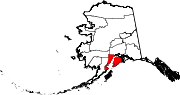
CDPs Anchor Point | Bear Creek | Beluga | Clam Gulch | Cohoe | Cooper Landing | Crown Point | Diamond Ridge | Fox River | Fritz Creek | Funny River | Halibut Cove | Happy Valley | Hope | Kalifornsky | Kasilof | Lowell Point | Miller Landing | Moose Pass | Nanwalek | Nikiski | Nikolaevsk | Ninilchik | Port Graham | Primrose | Ridgeway | Salamatof | Seldovia Village | Sterling | Sunrise | Tyonek
Unincorporated
communitiesKachemak Selo | Razdolna | Voznesenka
Bodies of water Snow River · Trail River · Trail Lakes · Kenai Lake · Kenai River · Skilak Lake · Russian River ·
Settlements Primrose · Crown Point · Moose Pass · Cooper Landing · Sterling · Soldotna · Kenai ·
Protected areas Categories:- Populated places in Kenai Peninsula Borough, Alaska
- Census-designated places in Alaska

Wikimedia Foundation. 2010.