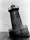
- Maryland Point Light
-
Maryland Point Light 
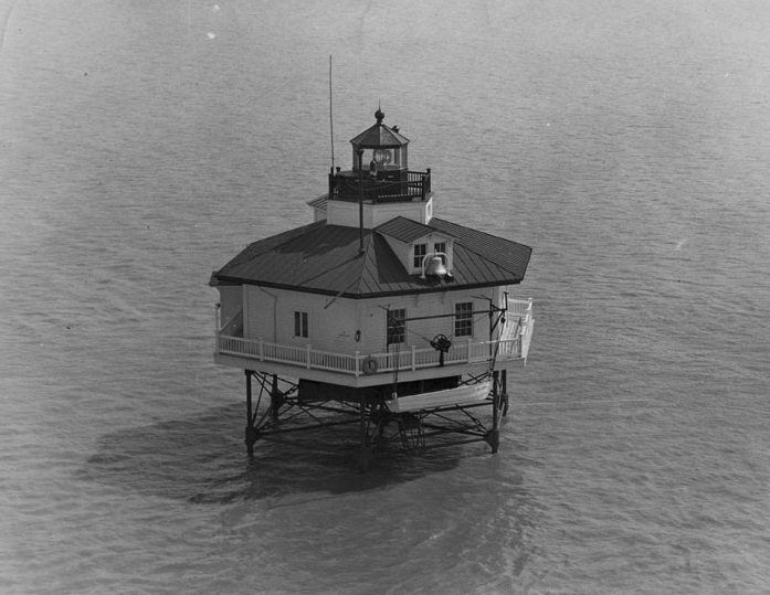
1952 photograph of Maryland Point Light (USCG) Location off Maryland Point in the Potomac River, East of Fairview Beach, Virginia Coordinates 38°20′58″N 77°11′51″W / 38.3495°N 77.1975°WCoordinates: 38°20′58″N 77°11′51″W / 38.3495°N 77.1975°W Year first lit 1892 Automated 1954 Deactivated 1963 Foundation screw-pile Construction cast-iron/wood Tower shape hexagonal house Original lens fourth-order Fresnel lens The Maryland Point Light was a screw-pile lighthouse located in the Potomac River.
History
A light was first proposed for the shoal at Maryland Point in 1887, but an appropriation was not made until 1890. The original proposal was to construct a caisson light, but tests of the bottom convinced the engineers that a screw-pile structure could be made to work. The house was assembled at the Lazaretto Depot in the fall of 1892, and the light was first exhibited in December of that year.
The light was automated in 1954 and dismantled in 1963.
References
- "Historic Light Station Information and Photography: Maryland". United States Coast Guard Historian's Office. http://www.uscg.mil/history/weblighthouses/LHMD.asp.
- Maryland Point Light, from the Chesapeake Chapter of the United States Lighthouse Society
- de Gast, Robert (1973). The Lighthouses of the Chesapeake. Johns Hopkins University Press. p. 157.
External links
- Rowlett, Russ. "Lighthouses of the United States: Maryland". The Lighthouse Directory. University of North Carolina at Chapel Hill. http://www.unc.edu/~rowlett/lighthouse/md.htm.
 Categories:
- Lighthouses in Maryland
- Buildings and structures completed in 1892

Wikimedia Foundation. 2010.