- Daintree National Park
-
Daintree National Park IUCN Category II (National Park)
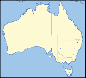
Nearest town/city Daintree Coordinates 15°57′33″S 145°24′07″E / 15.95917°S 145.40194°E Area 1200 km² (2,730 mi²) Established 1988 Managing authorities Queensland Parks and Wildlife Service Official site Cape Tribulation
Mossman GorgeDaintree is a national park in Far North Queensland, Australia, 1,502 km (933 mi) northwest of Brisbane and 100 km (62 mi) northwest of Cairns. It was founded in 1981[1] and is part of the Wet Tropics of Queensland. In 1988 it was granted listing as a World Heritage List.[1][2] The park consists of two sections, with a settled agricultural area between them which includes the towns of Mossman and Daintree Village.
The main entrance to Daintree National Park is South of the Daintree River at Mossman Gorge, where visitors can see the very best rainforest. However, the words 'Daintree National Park' have been painted out on all street signs in Mossman by the previous Douglas Shire council, in order to direct visitors to the tourist area north of the Daintree River.
Daintree National Park is valued because of its exceptional biodiversity.[3] It contains significant habitat for rare species and prolific birdlife. The name is derived from the Daintree River which was named by George Elphinstone Dalrymple, an early explorer of the area, after his friend, Richard Daintree.
Contents
Mossman Gorge section
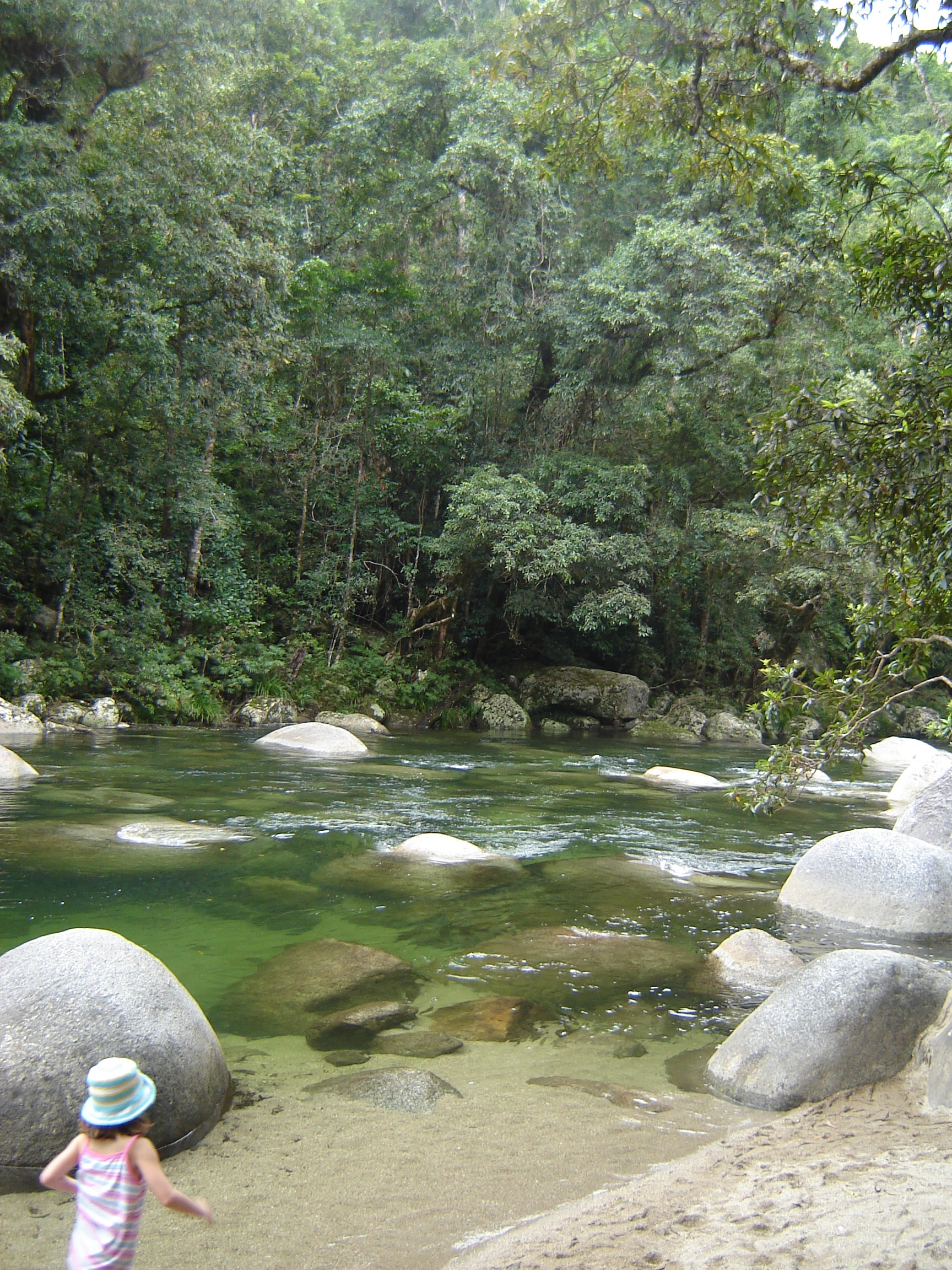
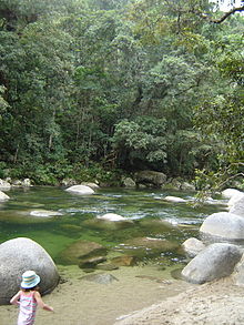 Mossman Gorge
The Great Dividing Range is close to the coast in this region. This section covers 56,500 ha of mostly inaccessible rainforests and mountain woodlands.[3] The popular Mossman Gorge is located in the southern part of the park.[2]
Cape Tribulation section
Cape Tribulation also lies in the park.[2] Originally the cape belonged to Cape Tribulation National Park from 1981 but was amalgamated into Daintree National Park in 1983.[3] This section covers 17,000 ha along a narrow coastal strip and contains Australia's last extensive stands of lowland rainforest.[3]
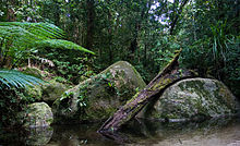 A typical rainforest scene in Daintree National Park
The Daintree National Park's traditional owners are the Eastern Kuku Yalanji Aboriginal people. Many of the natural features of the landscape hold spiritual significance for the traditional owners.[4] One of these features is the location of the bouncing stones at Thornton Beach. The rocks here have a high density due to vulcanism.[1] The park contains the Daintree River, Bloomfield River and Mossman River.
Flora
Much of the national park is covered by tropical rainforest.[3] The Greater Daintree Rainforest has existed continuously for more than 110 million years, making it possibly the oldest existing rainforest. The persistence of this rainforest is believed to be a product of a fortuitous continental drift; after the breakup of its parent supercontinent a portion drifted toward the pole to become Antarctica, disturbing ocean currents and becoming quite chilly, while other portions were moved to hotter and drier locations. The rainforests of the parent continent preserved its climate, and so also its original forests. Tree species, once thought to be long extinct, have only relatively recently been discovered here.
Fauna
The Wompoo Fruit-dove is one of six species of pigeon that live in the park[1][2] as well as significant populations of the endangered cassowary, a flightless bird of substantial size. Mammals include Striped possum, Daintree river possum, Brown bandicoot, Long nosed bandicoot, Musky Rat Kangaroo, Bennett’s Tree Kangaroo, Swamp wallaby, Platypus, and Short beaked echidna.
See also
References
- ^ a b c d Reid, Greg (2004). Australia's National and Marine Parks: Queensland. South Yarra, Victoria: Macmillan Education Australia. pp. 21. ISBN 073299053X.
- ^ a b c d Hema Maps (1997). Discover Australia's National Parks. Milsons Point, New South Wales: Random House Australia. pp. 168. ISBN 1975992472.
- ^ a b c d e Explore Queensland's National Parks. Prahran, Victoria: Explore Australia Publishing. 2008. pp. 10–13. ISBN 9781741172454.
- ^ "Cape Tribulation, Daintree National Park". http://www.derm.qld.gov.au/parks/daintree-cape-tribulation/index.html.
Categories:- IUCN Category II
- National parks of Far North Queensland
- Protected areas established in 1988
- Wet Tropics of Queensland
- 1988 establishments in Australia


Wikimedia Foundation. 2010.