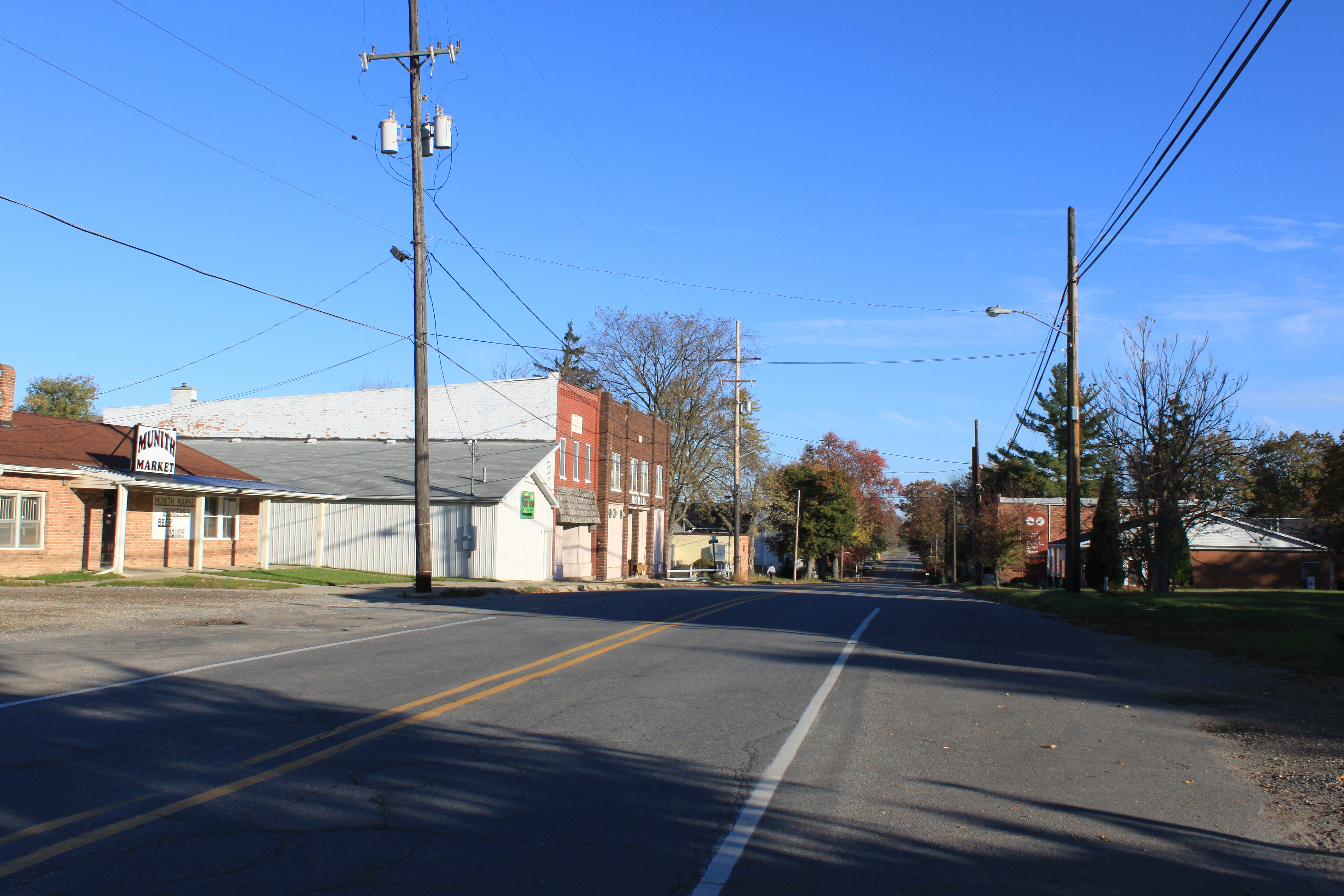
- Munith, Michigan
-
Munith, Michigan — Unincorporated — Main Street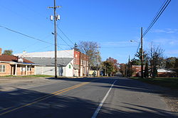 Location within the state of Michigan
 Munith, Michigan
Coordinates: 42°23′26″N 84°15′02″W / 42.39056°N 84.25056°W Country United States State Michigan County Jackson Township Henrietta
WaterlooElevation[1] 942 ft (287 m) Time zone Eastern (EST) (UTC-5) – Summer (DST) EDT (UTC-4) ZIP code 49259 Area code(s) 517 FIPS code 26-56260[2] GNIS feature ID 633123[1] Munith is a small unincorporated community in the northeast of Jackson County in the U.S. state of Michigan. It is situated on Michigan State Highway 106 on the boundary between Waterloo Township and Henrietta Township at 42°23′26″N 84°15′02″W / 42.39056°N 84.25056°WCoordinates: 42°23′26″N 84°15′02″W / 42.39056°N 84.25056°W.[1]
The ZIP Code is 49259 and serves portions of both Henrietta and Waterloo townships.[3]
In addition to the post office, there is a township hall, a cemetery, a gas station, and no stoplights. The Munith area is served by the Stockbridge Community Schools district.
References
- ^ a b c U.S. Geological Survey Geographic Names Information System: Munith, Michigan
- ^ "American FactFinder". United States Census Bureau. http://factfinder.census.gov. Retrieved 2008-01-31.
- ^ 49259 5-Digit ZCTA, 492 3-Digit ZCTA - Reference Map - American FactFinder, United States Census Bureau, 2000 census
Categories:- Unincorporated communities in Jackson County, Michigan

Wikimedia Foundation. 2010.