- Doe Run Inn
-
Doe Run Mill
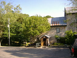
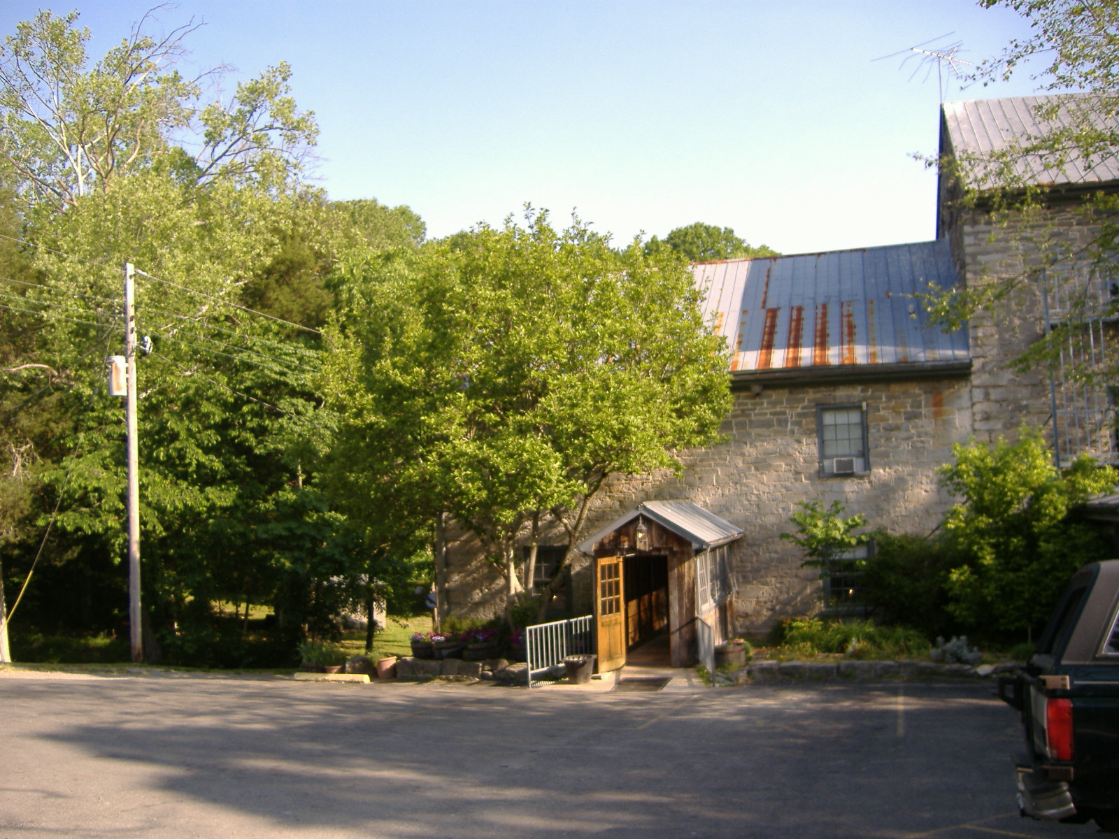
Nearest city: Brandenburg, Kentucky Built: 1792 Architect: Stevenson,Thomas Architectural style: Other Governing body: Private Part of: Doe Run Creek Historic District (#78001386) Doe Run Inn is a restaurant/inn business two miles southeast of Brandenburg, Kentucky. It is within the Doe Run Creek Historic District, which was placed on the National Register of Historic Places on December 19, 1978.
Squire Boone had discovered the creek, along with John McKinney, in 1778, and named it Doe Run Creek. It was so named due to the many deer in the vicinity. The creek was blessed with sulfur and salt licks, making it attractive for buffalo and elk.
The mill was built between 1788-1790 by Jonathan Essery, and was originally known as Stevenson's Mill. It was made of local limestone and timbers that were hand-hewn. The walls are two feet thick. Thomas Lincoln worked as a stonemason on the newer section of the mill, which was constructed in 1800.[1]
Throughout its history as a mill, it was seldom profitable, due to so many competing mills. By 1900 it was being used as a barn. It became the Sulfur Wells Hotel in 1901 when W.D. Coleman purchased it. It attracted several tourists who sought the purported health benefits of the sulfur water. In 1947 the Haycrafts leased the Inn. It was renamed the Doe Run Inn in 1958 when it was leased by Curtis and Lucille Brown.
The district includes an additional mill and three houses, one of which was a log cabin. Also within the district was Meade County's first hydro-electric plant.
Gallery
-
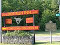
Entrance to the property off the state highway
-

Bridge near the inn along creek
-

Doe Run Creek
-

Waterfall along creek
-

Interior of the inn
References
External links
Categories:- Historic district contributing properties
- National Register of Historic Places in Meade County, Kentucky
- Restaurants in Kentucky
- Hotels in Kentucky
- Bed and breakfasts in the United States
- Buildings and structures in Meade County, Kentucky
- Buildings and structures on the National Register of Historic Places in Kentucky
-


Wikimedia Foundation. 2010.