- Coniston, East Riding of Yorkshire
-
Coordinates: 53°48′01″N 0°14′49″W / 53.800411°N 0.246892°W
Coniston 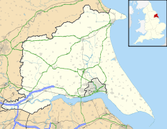
 Coniston
Coniston shown within the East Riding of YorkshirePopulation 266 (2001 census)[1] OS grid reference TA155352 Parish Coniston Unitary authority East Riding of Yorkshire Ceremonial county East Riding of Yorkshire Region Yorkshire and the Humber Country England Sovereign state United Kingdom Post town HULL Postcode district HU11 Dialling code 01964 Police Humberside Fire Humberside Ambulance Yorkshire EU Parliament Yorkshire and the Humber UK Parliament Beverley and Holderness List of places: UK • England • Yorkshire Coniston is a village and civil parish in the East Riding of Yorkshire, England, in an area known as Holderness. It is situated approximately 6 miles (9.7 km) north east of Hull city centre and 1 mile (1.6 km) north east of the village of Ganstead. It lies on the A165 road.
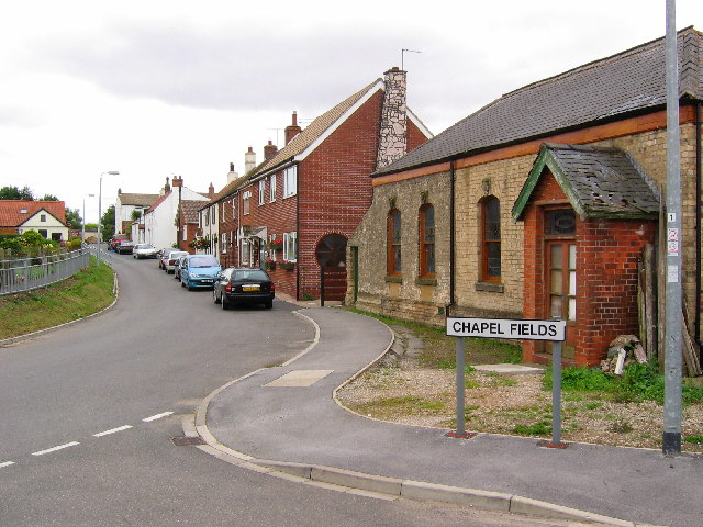
 Coniston village
The civil parish is formed by the village of Coniston and the hamlet of Thirtleby. According to the 2001 UK census, Coniston parish had a population of 266.[1]
References
- ^ a b "2001 Census: Key Statistics: Parish Headcounts: Area: Coniston CP (Parish)". Neighbourhood Statistics. Office for National Statistics. http://neighbourhood.statistics.gov.uk/dissemination/LeadTableView.do?a=3&b=790941&c=Coniston&d=16&e=15&g=390995&i=1001x1003x1004&m=0&r=1&s=1210876816763&enc=1&dsFamilyId=779. Retrieved 15 May 2008.
- Gazetteer — A–Z of Towns Villages and Hamlets. East Riding of Yorkshire Council. 2006. p. 4.
Categories:- Villages in the East Riding of Yorkshire
- Holderness
- Civil parishes in the East Riding of Yorkshire
- East Riding of Yorkshire geography stubs

Wikimedia Foundation. 2010.