- Lago di Mergozzo
-
Lago di Mergozzo 
Location Piedmont Coordinates 45°57′20″N 8°28′00″E / 45.95556°N 8.4666667°ECoordinates: 45°57′20″N 8°28′00″E / 45.95556°N 8.4666667°E Primary inflows mountain streams including the Rio Bracchio and the Rio Rescina[1] Primary outflows a 2.7 km canal into Lago Maggiore Catchment area 10.4 m² Basin countries Italy Max. length 2.32 km (1.44 mi) Max. width 1.1 km Surface area 1.81 km² Average depth 45 m Max. depth 73 m Water volume 82,900,000 m³ Residence time 6 years Shore length1 6.2 km Surface elevation 195 m Settlements Mergozzo, Fondotoce (Verbania) 1 Shore length is not a well-defined measure. Lago di Mergozzo (En. Lake Mergozzo) is a small sub-alpine lake in northern Italy just to the west of Lago Maggiore and north of Lago d'Orta, at the mouth of the Val d’Ossola in the province of Verbano Cusio Ossola, Piedmont.
In ancient times it was the extreme point of the short northwestern arm of Lago Maggiore, formed by glaciation. However repeated flooding of Maggiore’s tributary the Toce deposited sediment which gradually formed a stretch of land which cut off Mergozzo from the larger expanse of water, and from the Toce itself. Today the settlement of Fondotoce (a frazione of Verbania) stands on this alluvial plain. The small town Mergozzo, which lies at the other end of the lake, gives it its name. The greater part of the lake falls within the commune of Mergozzo, the rest within Verbania.
Monte Orfano (790 m) rises from the south-west shore of the lake; the limestone rocks of which it is composed are heavily quarried. On the opposite side of the lake the mountains form the beginning of the Corni di Nibbio chain which divides the Val d’Ossola from the Valgrande and its National Park.
The lake is fed by the waters of a number of clean mountain streams, the two most important being the Rio Bracchio and the Rio Rescina. Its sole outlet is the 1.7 km canal which links it to Lago Maggiore near Fondotoce. The difference in levels between the two lakes is slight, and when Maggiore is in flood, the flow of water in the canal goes into reverse. This opens up the possibility of pollutants entering Lago Mergozzo. Nevertheless, today the lake, where the use of motor boats has long been forbidden, is one of the least polluted in Italy; it has become a tourist destination particularly popular with people from Germany.
Contents
Fish
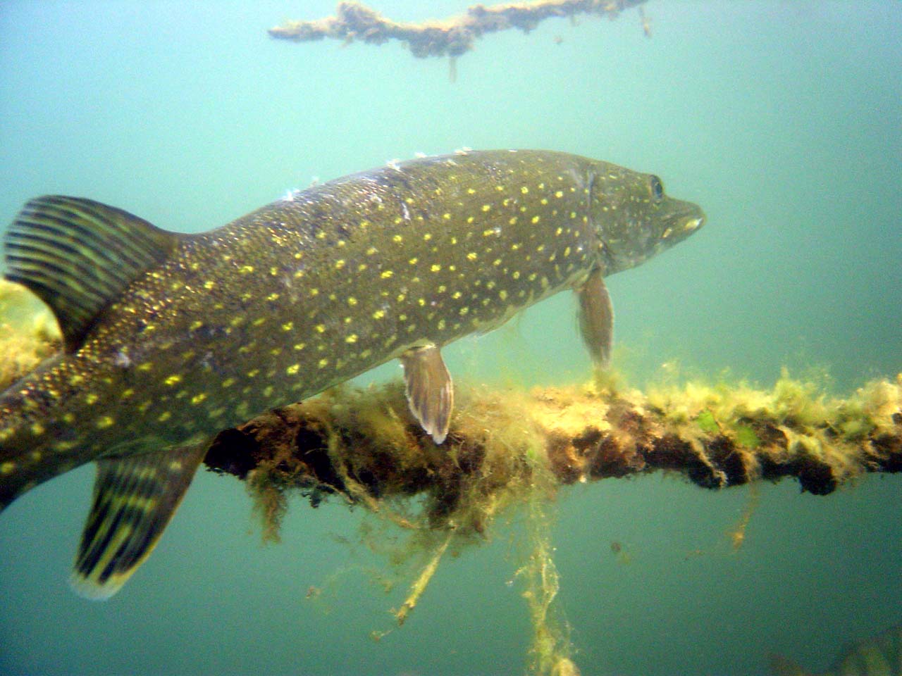
 A pike-perch
Species found in the lake include, pikeperch, common whitefish, brown trout, Arctic char, bleak, chub, Danube roach (Rutilus pigus), common carp, rudd, tench, triotto (Rutilus aula), savetta, or Italian nase (Chondrostoma soetta), twait shad, northern pike, perch, black bass, pumpkinseed (Lepomis gibbosus), eel and burbot.
Notes
- ^ See PIANO DI TUTELA DELLE ACQUE, for the affluents and for the figures shown in this box
References
- The initial version of this page was translated and paraphrased from the then current article on the Italian Wikipedia, augmented by statistical data from the then current article on the Dutch Wikipedia.
- Comune di Mergozzo – Lago e montagna (Italian)
- Regione Piemonte, Direzione Pianificazione Risorse Idriche, PIANO DI TUTELA DELLE ACQUE (D.Lgs. 152/99) REV. 01 LUGLIO 2004: MERGOZZO (Italian) (Google cache[1])
Further reading
- Comune di Mergozzo – Lago e montagna (Italian), as cited above.
- "Geomorphology of Fondotoce Natural Reserve". Regione Piemonte. http://parchilagomaggiore.it/ifgeo.htm.
Settlements Rivers Rio Bracchio · Rio RescinaMountains Monte Orfano · Corni di NibbioLandmarks Fondotoce Natural ReserveCategories:- Lakes of Piedmont
- Province of Verbano-Cusio-Ossola

Wikimedia Foundation. 2010.