- Northgate, West Sussex
-
Coordinates: 51°07′53″N 0°10′36″W / 51.1314°N 0.1768°W
Northgate 
 Northgate
Northgate shown within West SussexOS grid reference TQ275385 District Crawley Shire county West Sussex Region South East Country England Sovereign state United Kingdom Post town Crawley Postcode district RH10 Dialling code 01293 Police Sussex Fire West Sussex Ambulance South East Coast EU Parliament South East England UK Parliament Crawley List of places: UK • England • West Sussex Northgate is a neighbourhood within the town of Crawley in West Sussex, England, and includes the town centre. Northgate is bordered by West Green to the west, Langley Green to the north, Three Bridges to the east and Southgate to the south.
History
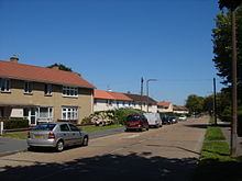
 Oak Way, Northgate
Before the arrival of the New Town, the name 'Northgate' was associated with the area around the Northgate Toll House located on the London to Brighton road as you entered the town from the North. The area was largely open fields although during the early twentieth century was some ribbon housing development along London Road, Tushmore Lane and Green Lane, Barnfield Road and Woolborough Road.
In the development of the New Town in the 1950s Northgate was the second neighbourhood estate to be built on fields to the north-east of the town. The bulk of the neighbourhood was constructed in 1951-52 by the Development Corporation for the town, but some houses were also built by the Horsham Rural District Council in the early 1950s.
The town centre was also included in the Northgate neighbourhood including the main shopping area of Crawley and the rail and bus stations as was the Manor Royal Industrial Estate to the north of the town and south of Gatwick Airport.
Facilities
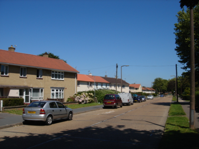
 Woodfield Road, Northgate
In common with other Crawley neighbourhoods Northgate was provided with a primary school - originally provided in a prefabricated hut, but permanent buildings were opened in 1953. A parade of shops, a public house and two churches followed in the mid 1950s.
A Royal Electrical and Mechanical Engineers depot was formerly sited on the London Road, and a Territorial Army (United Kingdom) Centre is in Kilnmead.
Categories:- Crawley
- West Sussex geography stubs

Wikimedia Foundation. 2010.