- Lake McKerrow
-
Lake McKerrow Location Fiordland, Southland District, Southland Region, South Island Coordinates 44°26′S 168°03′E / 44.433°S 168.05°ECoordinates: 44°26′S 168°03′E / 44.433°S 168.05°E Primary inflows Hollyford River Primary outflows Hollyford River Basin countries New Zealand Surface area 28 km²  Lake McKerrow
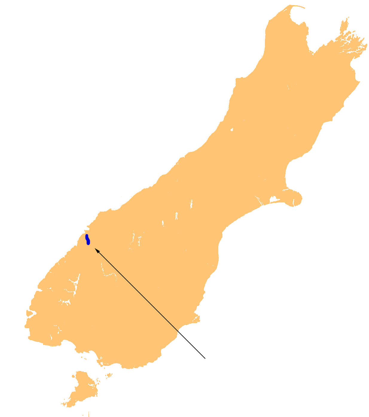
Lake McKerrow, also known by the Maori name of Whakatipu Waitai, lies at the northern end of Fiordland, in the southwest of New Zealand's South Island. The lake runs from southeast to northwest, is 15 kilometres in length, and covers 28 km².
Lake McKerrow drains, and is drained by, the Hollyford River. It is one of two lakes (along with Lake Alabaster) found in the lower reaches of the Hollyford River system, and the Hollyford Track, one of New Zealand's most well-known and popular tramping tracks, follows its eastern shore for its full length.
The lake is technically a fiord which has been cut off from the Tasman Sea by sediment. The sea is now three kilometres from the lake's northern end.
Categories:- Southland Region
- Lakes of New Zealand
- Fiordland
- Southland Region geography stubs
Wikimedia Foundation. 2010.