- Densole
-
Coordinates: 51°07′56″N 1°09′35″E / 51.1322°N 1.1598°E
Densole 
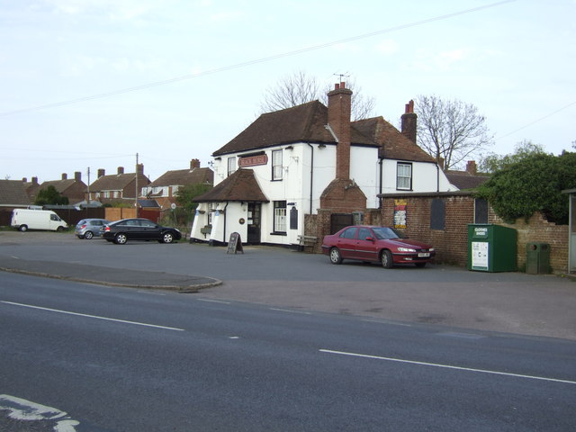
The Black Horse public house, Densole
 Densole
Densole shown within KentOS grid reference TR2147 District Shepway Shire county Kent Region South East Country England Sovereign state United Kingdom Police Kent Fire Kent Ambulance South East Coast EU Parliament South East England List of places: UK • England • Kent Densole is a small settlement in Kent located immediately north of Hawkinge on the A260 road between Folkestone and Barham. There is a public house: the Black Horse; a butterfly centre;[1] and camp sites at Densole.
Notes
External links
 Media related to Densole at Wikimedia Commons
Towns and villages in the Shepway district of Kent, England 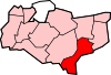 Acrise · Arpinge · Beachborough · Bladbean · Bodsham · Breach · Brenzett · Brookland · Burmarsh · Cheriton · Danton Pinch · Densole · Dymchurch · Dungeness · Elham · Elmsted · Etchinghill · Folkestone · Frogholt · Greatstone-on-Sea · Hawkinge · Hythe · Ivychurch · Lade · Littlestone-on-Sea · Lydd · Lydd-on-Sea · Lyminge · Lympne · Monks Horton · Newchurch · Newingreen · Newington · New Romney · Old Romney · Paddlesworth · Pedlinge · Peene · Postling · Rhodes Minnis · Saltwood · Sandgate · Sandling · Sellindge · Selsted · Snargate · Stanford · Stelling Minnis · St Mary in the Marsh · St Mary's Bay · Westenhanger · West Hythe · Wingmore
List of places in Kent Categories:- Villages in Kent
- Shepway
- Kent geography stubs


Wikimedia Foundation. 2010.